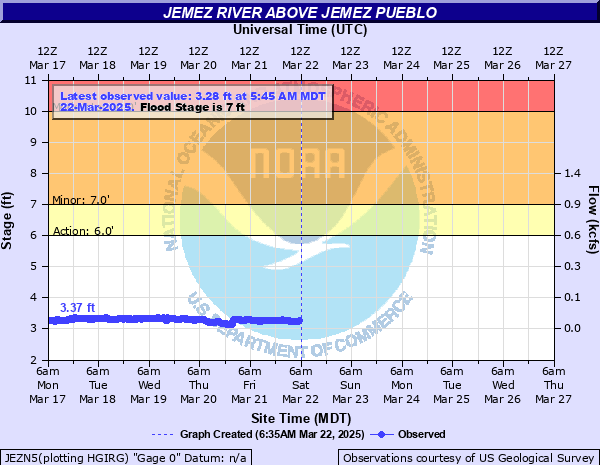
Jemez River above Jemez Pueblo
Critical Stages
6' - Action
7' - Flood
10' - Moderate
12' - Major
Latest Observation
Updated: 1:45 AM MST 12/16/25
Status: No Flooding
Stage: 3.34 ft
Flow: 0.0175 kcfs
Forecast
Forecast not available for this location.
| Time | Stage (ft) | Flow (kcfs) |
|---|---|---|
| 1:45 AM 12/16 | 3.34 | 0.0175 |
| 1:30 AM 12/16 | 3.34 | 0.0175 |
| 1:15 AM 12/16 | 3.36 | 0.0183 |
| 1:00 AM 12/16 | 3.34 | 0.0175 |
| 12:45 AM 12/16 | 3.35 | 0.0179 |
| 12:30 AM 12/16 | 3.34 | 0.0175 |
| 12:15 AM 12/16 | 3.34 | 0.0175 |
| 12:00 AM 12/16 | 3.36 | 0.0183 |
| 11:45 PM 12/15 | 3.34 | 0.0175 |
| 11:30 PM 12/15 | 3.23 | 0.0131 |
| 11:15 PM 12/15 | 3.22 | 0.0127 |
| 11:00 PM 12/15 | 3.23 | 0.0131 |
| 10:45 PM 12/15 | 3.2 | 0.012 |
| 10:30 PM 12/15 | 3.2 | 0.012 |
| 10:15 PM 12/15 | 3.2 | 0.012 |
| 10:00 PM 12/15 | 3.18 | 0.0108 |
| 9:45 PM 12/15 | 3.18 | 0.0108 |
| 9:30 PM 12/15 | 3.19 | 0.0114 |
| 9:15 PM 12/15 | 3.19 | 0.0114 |
| 9:00 PM 12/15 | 3.2 | 0.012 |
| 8:45 PM 12/15 | 3.2 | 0.012 |
| 8:30 PM 12/15 | 3.2 | 0.012 |
| 8:15 PM 12/15 | 3.19 | 0.0114 |
| 8:00 PM 12/15 | 3.2 | 0.012 |
| 7:45 PM 12/15 | 3.2 | 0.012 |
| 7:30 PM 12/15 | 3.18 | 0.0108 |
| 7:15 PM 12/15 | 3.2 | 0.012 |
| 7:00 PM 12/15 | 3.19 | 0.0114 |
| 6:45 PM 12/15 | 3.21 | 0.0124 |
| 6:30 PM 12/15 | 3.21 | 0.0124 |
12' -
A flood of major proportions is occurring along the Jemez River from above Jemez Springs down to Jemez Reservoir. Highway 4 just north of San Ysidro is impassable as water is flowing over the bridge or the approaches to the bridge. Other sections of highway 4 may also be impassable due to flooding along the Jemez River and its tributaries.
10' -
Widespread overbank flooding is occurring. Bridges in and around Jemez Springs are either impassable or unsafe to cross due to the high water and debris caught up in the fast flow.
8' -
Significant overbank flows are occurring from above Jemez Springs down through San Ysidro, including the Jemez Pueblo. Campgrounds and fishing sites along the Jemez River are inaccessible. Further rises will result in bridges becoming unsafe to cross in and around Jemez Springs.
7' -
Between 7 and 8 feet multiple locations along highway 4 between San Ysidro and Jemez Springs will see water crossing the road from tributaries and low water crossing points. The Wastewater Treatment plant 1 mile downstream of Jemez Springs can be impacted between 7 and 7.7 feet. Water will be on Highway 4 at mile marker 1, 2 and 13. Homes near the river in San Ysidro could be impacted.
| Date | Stage (ft) |
|---|---|
| Aug 16, 2006 | 11.94 |
| May 6, 1941 | 10.9 |
| Jul 15, 1985 | 10.1 |
| Jul 28, 1993 | 9.4 |
| Apr 21, 1958 | 8.2 |
| Aug 1, 1964 | 8.1 |
| Jun 22, 2002 | 7.97 |
| Aug 29, 1995 | 7.69 |
| Aug 4, 2008 | 7.14 |
| Oct 10, 2003 | 6.48 |
Data provided by the National Weather Service.