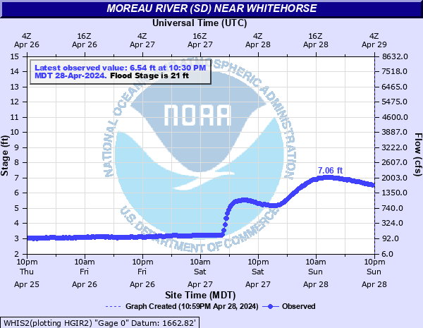
Moreau River (SD) near Whitehorse
Critical Stages
19' - Action
21' - Flood
23' - Moderate
25' - Major
Latest Observation
Updated: 8:30 PM MST 12/15/25
Status: No Flooding
Stage: 2.98 ft
Flow: -999 kcfs
Forecast
Forecast not available for this location.
| Time | Stage (ft) | Flow (kcfs) |
|---|---|---|
| 8:30 PM 12/15 | 2.98 | -999 |
| 8:15 PM 12/15 | 2.98 | -999 |
| 8:00 PM 12/15 | 2.98 | -999 |
| 7:45 PM 12/15 | 2.97 | -999 |
| 7:30 PM 12/15 | 2.96 | -999 |
| 7:15 PM 12/15 | 2.96 | -999 |
| 7:00 PM 12/15 | 2.96 | -999 |
| 6:45 PM 12/15 | 2.96 | -999 |
| 6:30 PM 12/15 | 2.96 | -999 |
| 6:15 PM 12/15 | 2.96 | -999 |
| 6:00 PM 12/15 | 2.96 | -999 |
| 5:45 PM 12/15 | 2.97 | -999 |
| 5:30 PM 12/15 | 3.37 | 0.172 |
| 5:15 PM 12/15 | 3.4 | 0.179 |
| 5:00 PM 12/15 | 3.4 | 0.179 |
| 4:45 PM 12/15 | 3.36 | 0.169 |
| 4:30 PM 12/15 | 3.28 | 0.15 |
| 4:15 PM 12/15 | 3.26 | 0.145 |
| 4:00 PM 12/15 | 3.24 | 0.14 |
| 3:45 PM 12/15 | 3.23 | 0.138 |
| 3:30 PM 12/15 | 3.22 | 0.136 |
| 3:15 PM 12/15 | 3.23 | 0.138 |
| 3:00 PM 12/15 | 3.23 | 0.138 |
| 2:45 PM 12/15 | 3.23 | 0.138 |
| 2:30 PM 12/15 | 3.22 | 0.136 |
| 2:15 PM 12/15 | 3.21 | 0.133 |
| 2:00 PM 12/15 | 3.23 | 0.138 |
| 1:45 PM 12/15 | 3.22 | 0.136 |
| 1:30 PM 12/15 | 3.22 | 0.136 |
| 1:15 PM 12/15 | 3.22 | 0.136 |
25.8' -
Major flooding of rural and pasture lands will occur as the banks on both sides of the river will be overtopped
25' -
The water level will reach the low steel on the highway bridge at the gauging location. Water is over the road on both sides of the bridge
23' -
Large amounts of pasture land on the right bank of the river are flooded
21' -
Low-lying pasture lands along the river begin to flood
| Date | Stage (ft) |
|---|---|
| Mar 25, 2019 | 27.79 |
| Mar 21, 1997 | 27.68 |
| Mar 20, 2011 | 26.92 |
| Mar 14, 1972 | 26.2 |
| May 24, 1982 | 26 |
| Jun 8, 2008 | 25.56 |
| Apr 17, 2009 | 25.37 |
| Mar 24, 1978 | 25.31 |
| Mar 23, 1987 | 23.79 |
| Jun 18, 2010 | 23.63 |
| Mar 5, 1994 | 23.25 |
| Mar 13, 2001 | 22.58 |
| Jun 20, 2014 | 22.33 |
| May 22, 1962 | 21 |
| Jun 16, 1967 | 20.07 |
| Mar 17, 1966 | 20.02 |
| May 11, 1986 | 19.77 |
| May 29, 1996 | 19.14 |
| Jun 23, 1995 | 18.42 |
| Jul 22, 1993 | 18.02 |
Data provided by the National Weather Service.