Ohio River at Moundsville
Critical Stages
27.8' - Action
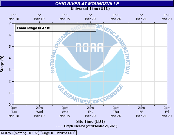
37' - Flood
41' - Moderate
44' - Major
Latest Observation
Updated: 7:03 PM LMT 12/31/00
Status: Obs Not Current
Stage: -999 ft
Flow: -999 kcfs
Forecast
Forecast not available for this location.
Observation history not available.
57.9' -
Flood of record.
42' -
Water begins to affect Monarch Stadium and the Marshall County Fairgrounds. Ruby and Diamond Streets are closed.
41' -
River rises to reach the railroad tracks in Moundsville in the 13th Street area.
40' -
Some businesses in the North Plaza parking lot are affected.
38' -
North Marshall Street in Bentwood, WV is closed with Rite-Aid, Taco Bell and KFC impacted.
| Date | Stage (ft) |
|---|---|
| Mar 19, 1936 | 57.9 |
| Dec 31, 1942 | 54.4 |
| Jan 23, 1937 | 52.3 |
| Mar 8, 1945 | 50.3 |
| Mar 11, 1964 | 49.6 |
| Jun 25, 1972 | 48.7 |
| Sep 19, 2004 | 47 |
| Jan 21, 1996 | 46 |
| Mar 23, 1959 | 45.9 |
| Jan 7, 2005 | 43.4 |
| Apr 4, 2024 | 43.2 |
| Mar 26, 1936 | 42.9 |
| Feb 18, 2018 | 40.7 |
| Sep 11, 2018 | 40.1 |
| Apr 13, 2024 | 39.5 |
| Mar 12, 2011 | 38.8 |
| Feb 27, 1979 | 38.6 |
| Jan 6, 2004 | 37.5 |
| Jan 10, 1998 | 37.5 |
| Jan 13, 2005 | 36.1 |
Data provided by the National Weather Service.