« Back to Shannon County Rivers
Jacks Fork at Eminence
Critical Stages
6.4' - Action
12' - Flood
15' - Moderate
20' - Major
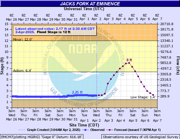
Latest Observation
Updated: 1:30 PM CST 12/6/25
Status: No Flooding
Stage: 2.25 ft
Flow: 0.261 kcfs
Forecast
| Time | Stage (ft) | Flow (kcfs) |
|---|---|---|
| 6 PM 12/6 | 2.3 | 0.278 |
| 12 AM 12/7 | 2.3 | 0.278 |
| 6 AM 12/7 | 2.2 | 0.245 |
| 12 PM 12/7 | 2.2 | 0.245 |
| 6 PM 12/7 | 2.2 | 0.245 |
| 12 AM 12/8 | 2.2 | 0.245 |
| 6 AM 12/8 | 2.2 | 0.245 |
| 12 PM 12/8 | 2.2 | 0.245 |
| 6 PM 12/8 | 2.2 | 0.245 |
| 12 AM 12/9 | 2.2 | 0.245 |
| 6 AM 12/9 | 2.2 | 0.245 |
| 12 PM 12/9 | 2.2 | 0.245 |
| 6 PM 12/9 | 2.2 | 0.245 |
| 12 AM 12/10 | 2.2 | 0.245 |
| 6 AM 12/10 | 2.2 | 0.245 |
| 12 PM 12/10 | 2.2 | 0.245 |
| 6 PM 12/10 | 2.2 | 0.245 |
| 12 AM 12/11 | 2.2 | 0.245 |
| 6 AM 12/11 | 2.2 | 0.245 |
| Time | Stage (ft) | Flow (kcfs) |
|---|---|---|
| 1:30 PM 12/6 | 2.25 | 0.261 |
| 1:15 PM 12/6 | 2.25 | 0.261 |
| 1:00 PM 12/6 | 2.25 | 0.261 |
| 12:45 PM 12/6 | 2.25 | 0.261 |
| 12:30 PM 12/6 | 2.25 | 0.261 |
| 12:15 PM 12/6 | 2.26 | 0.264 |
| 12:00 PM 12/6 | 2.25 | 0.261 |
| 11:45 AM 12/6 | 2.25 | 0.261 |
| 11:30 AM 12/6 | 2.25 | 0.261 |
| 11:15 AM 12/6 | 2.25 | 0.261 |
| 11:00 AM 12/6 | 2.25 | 0.261 |
| 10:45 AM 12/6 | 2.26 | 0.264 |
| 10:30 AM 12/6 | 2.26 | 0.264 |
| 10:15 AM 12/6 | 2.26 | 0.264 |
| 10:00 AM 12/6 | 2.26 | 0.264 |
| 9:45 AM 12/6 | 2.26 | 0.264 |
| 9:30 AM 12/6 | 2.26 | 0.264 |
| 9:15 AM 12/6 | 2.26 | 0.264 |
| 9:00 AM 12/6 | 2.26 | 0.264 |
| 8:45 AM 12/6 | 2.26 | 0.264 |
| 8:30 AM 12/6 | 2.26 | 0.264 |
| 8:15 AM 12/6 | 2.26 | 0.264 |
| 8:00 AM 12/6 | 2.26 | 0.264 |
| 7:45 AM 12/6 | 2.26 | 0.264 |
| 7:30 AM 12/6 | 2.26 | 0.264 |
| 7:15 AM 12/6 | 2.26 | 0.264 |
| 7:00 AM 12/6 | 2.26 | 0.264 |
| 6:45 AM 12/6 | 2.26 | 0.264 |
| 6:30 AM 12/6 | 2.26 | 0.264 |
| 6:15 AM 12/6 | 2.26 | 0.264 |
27.27' -
this is the record crest set on April 30, 2017. Widespread flood damage occurred and numerous buildings and roads flood.
26' -
flood waters reach the bridge deck of Highway 19 at the gage site.
24' -
flood waters affect the north approach to Highway 19 in Eminence.
20' -
flood waters reach Tom Akers Road west of Highway 19 and portions of Riverview Drive.
18' -
flood waters impact State Highway 106 near the gage site.
16' -
flood waters impact City Park and other low lying areas in the city of Eminence.
12' -
low lying areas including the Rivers Edge Lodge and canoe rental locations in Eminence flood. Broken Arrow campground affected.
8' -
the picnic area near the Rivers Edge Resort floods.
6.4' -
river access to the Jacks Fork is closed due to elevated water levels.
| Date | Stage (ft) |
|---|---|
| Apr 30, 2017 | 27.72 |
| Mar 8, 1904 | 27 |
| Nov 15, 1993 | 19.82 |
| Jun 13, 1928 | 18.24 |
| Nov 19, 1985 | 17.58 |
| May 8, 2002 | 17.22 |
| Feb 23, 1985 | 17.15 |
| Apr 30, 1983 | 17.03 |
| Nov 5, 2024 | 16.89 |
| Feb 10, 1966 | 16.54 |
| Mar 19, 2008 | 16.44 |
| Sep 25, 1993 | 16.32 |
| Apr 26, 2011 | 16.2 |
| Dec 29, 2015 | 16.15 |
| Apr 22, 1974 | 15.83 |
| Feb 7, 1999 | 15.76 |
| Apr 10, 2008 | 14.83 |
| Jan 30, 1969 | 14.76 |
| Dec 18, 2021 | 14.64 |
| Mar 25, 2023 | 14.6 |
Data provided by the National Weather Service.