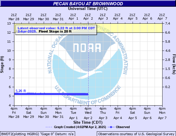
Pecan Bayou at Brownwood
Critical Stages
12' - Action
20' - Flood
23' - Moderate
27' - Major
Latest Observation
Updated: 4:00 PM CST 12/15/25
Status: No Flooding
Stage: 5.19 ft
Flow: 0.186 kcfs
Forecast
Forecast not available for this location.
| Time | Stage (ft) | Flow (kcfs) |
|---|---|---|
| 5:00 PM 12/15 | 5.19 | 0.186 |
| 4:45 PM 12/15 | 5.19 | 0.186 |
| 4:30 PM 12/15 | 5.19 | 0.186 |
| 4:15 PM 12/15 | 5.19 | 0.186 |
| 4:00 PM 12/15 | 5.19 | 0.186 |
| 3:45 PM 12/15 | 5.19 | 0.186 |
| 3:30 PM 12/15 | 5.19 | 0.186 |
| 3:15 PM 12/15 | 5.2 | 0.186 |
| 3:00 PM 12/15 | 5.19 | 0.186 |
| 2:45 PM 12/15 | 5.2 | 0.186 |
| 2:30 PM 12/15 | 5.2 | 0.186 |
| 2:15 PM 12/15 | 5.19 | 0.186 |
| 2:00 PM 12/15 | 5.2 | 0.186 |
| 1:45 PM 12/15 | 5.2 | 0.186 |
| 1:30 PM 12/15 | 5.19 | 0.186 |
| 1:15 PM 12/15 | 5.2 | 0.186 |
| 1:00 PM 12/15 | 5.19 | 0.186 |
| 12:45 PM 12/15 | 5.2 | 0.186 |
| 12:30 PM 12/15 | 5.2 | 0.186 |
| 12:15 PM 12/15 | 5.19 | 0.186 |
| 12:00 PM 12/15 | 5.19 | 0.186 |
| 11:45 AM 12/15 | 5.2 | 0.186 |
| 11:30 AM 12/15 | 5.19 | 0.186 |
| 11:15 AM 12/15 | 5.19 | 0.186 |
| 11:00 AM 12/15 | 5.19 | 0.186 |
| 10:45 AM 12/15 | 5.18 | 0.186 |
| 10:30 AM 12/15 | 5.19 | 0.186 |
| 10:15 AM 12/15 | 5.19 | 0.186 |
| 10:00 AM 12/15 | 5.19 | 0.186 |
| 9:45 AM 12/15 | 5.19 | 0.186 |
27' -
Major flooding will occur along Pecan Bayou with major flooding in the City Park and businesses near the park.
23' -
Moderate flooding will occur along Pecan Bayou. The City Park and businesses around the park will begin to flood.
20' -
Minor flooding will occur along Pecan Bayou. Minor flooding of the City Park will occur.
| Date | Stage (ft) |
|---|---|
| Sep 1, 1900 | 21.7 |
| Oct 14, 1930 | 16.92 |
| May 2, 1956 | 16.08 |
| Jun 12, 1951 | 15.18 |
| Oct 13, 1931 | 15.18 |
| May 4, 1941 | 15 |
| Jul 22, 1959 | 14.88 |
| Sep 28, 1936 | 14.26 |
| Jan 22, 1968 | 14.13 |
Data provided by the National Weather Service.