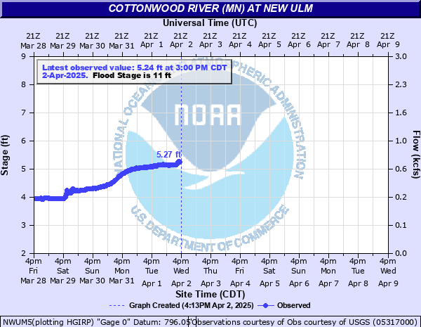
Cottonwood River (MN) at New Ulm
Critical Stages
9' - Action
11' - Flood
13' - Moderate
16' - Major
Latest Observation
Updated: 11:00 AM CST 12/15/25
Status: No Flooding
Stage: 4.58 ft
Flow: 0.331 kcfs
Forecast
Forecast not available for this location.
| Time | Stage (ft) | Flow (kcfs) |
|---|---|---|
| 11:00 AM 12/15 | 4.58 | 0.331 |
| 10:45 AM 12/15 | 4.59 | 0.334 |
| 10:30 AM 12/15 | 4.6 | 0.337 |
| 10:15 AM 12/15 | 4.61 | 0.34 |
| 10:00 AM 12/15 | 4.62 | 0.343 |
| 9:45 AM 12/15 | 4.64 | 0.35 |
| 9:30 AM 12/15 | 4.66 | 0.356 |
| 9:15 AM 12/15 | 4.68 | 0.362 |
| 9:00 AM 12/15 | 4.67 | 0.359 |
| 8:45 AM 12/15 | 4.66 | 0.356 |
| 8:30 AM 12/15 | 4.67 | 0.359 |
| 8:15 AM 12/15 | 4.67 | 0.359 |
| 8:00 AM 12/15 | 4.67 | 0.359 |
| 7:45 AM 12/15 | 4.65 | 0.353 |
| 7:30 AM 12/15 | 4.64 | 0.35 |
| 7:15 AM 12/15 | 4.62 | 0.343 |
| 7:00 AM 12/15 | 4.62 | 0.343 |
| 6:45 AM 12/15 | 4.6 | 0.337 |
| 6:30 AM 12/15 | 4.6 | 0.337 |
| 6:15 AM 12/15 | 4.59 | 0.334 |
| 6:00 AM 12/15 | 4.59 | 0.334 |
| 5:45 AM 12/15 | 4.59 | 0.334 |
| 5:30 AM 12/15 | 4.6 | 0.337 |
| 5:15 AM 12/15 | 4.61 | 0.34 |
| 5:00 AM 12/15 | 4.62 | 0.343 |
| 4:45 AM 12/15 | 4.62 | 0.343 |
| 4:30 AM 12/15 | 4.62 | 0.343 |
| 4:15 AM 12/15 | 4.62 | 0.343 |
| 4:00 AM 12/15 | 4.63 | 0.346 |
| 3:45 AM 12/15 | 4.63 | 0.346 |
22.75' -
Water impacts Cottonwood Townhouses.
22' -
Swimming pond at Flandrau SP closed and sandbagged for flood protection.
20' -
Water begins to impact residence on Butternut Street
19' -
All trails at Flandrau SP closed due to flooding
18' -
Flood waters reach the back of the campground at Flandrau SP
13' -
Flood waters begin to impact Cottonwood Street west of the river.
11' -
Flood waters begin to impact low lying areas...and some roads along the river.
| Date | Stage (ft) |
|---|---|
| Apr 8, 1965 | 20.86 |
| Jun 24, 2024 | 19.72 |
| Jul 6, 2018 | 19.64 |
| Apr 10, 1969 | 19.15 |
| Sep 26, 2010 | 18.95 |
| Jun 19, 1993 | 18.9 |
| Apr 25, 2001 | 18.18 |
| Mar 24, 2019 | 17.92 |
| Mar 4, 2020 | 17.54 |
| May 16, 2023 | 17.22 |
| Mar 24, 2011 | 17.15 |
| Jul 9, 1947 | 16.94 |
| May 10, 1993 | 16.4 |
| Mar 30, 1997 | 16.03 |
| Mar 30, 1962 | 15.88 |
| Mar 20, 2010 | 15.56 |
| Apr 7, 1951 | 15.44 |
| May 9, 1983 | 15.36 |
| Jun 17, 2011 | 15.28 |
| Mar 21, 1948 | 15.25 |
Data provided by the National Weather Service.