« Back to Skiddy Cemetery Rivers
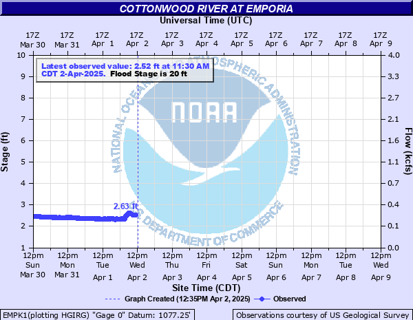
Cottonwood River at Emporia
Critical Stages
15' - Action
20' - Flood
24' - Moderate
32' - Major
Latest Observation
Updated: 11:30 PM CST 12/14/25
Status: No Flooding
Stage: 3.85 ft
Flow: 0.668 kcfs
Forecast
Forecast not available for this location.
| Time | Stage (ft) | Flow (kcfs) |
|---|---|---|
| 12:30 AM 12/15 | 3.85 | 0.668 |
| 12:15 AM 12/15 | 3.85 | 0.668 |
| 12:00 AM 12/15 | 3.86 | 0.672 |
| 11:45 PM 12/14 | 3.86 | 0.672 |
| 11:30 PM 12/14 | 3.85 | 0.668 |
| 11:15 PM 12/14 | 3.86 | 0.672 |
| 11:00 PM 12/14 | 3.86 | 0.672 |
| 10:45 PM 12/14 | 3.86 | 0.672 |
| 10:30 PM 12/14 | 3.86 | 0.672 |
| 10:15 PM 12/14 | 3.85 | 0.668 |
| 10:00 PM 12/14 | 3.86 | 0.672 |
| 9:45 PM 12/14 | 3.86 | 0.672 |
| 9:30 PM 12/14 | 3.86 | 0.672 |
| 9:15 PM 12/14 | 3.86 | 0.672 |
| 9:00 PM 12/14 | 3.86 | 0.672 |
| 8:45 PM 12/14 | 3.87 | 0.676 |
| 8:30 PM 12/14 | 3.87 | 0.676 |
| 8:15 PM 12/14 | 3.86 | 0.672 |
| 8:00 PM 12/14 | 3.87 | 0.676 |
| 7:45 PM 12/14 | 3.87 | 0.676 |
| 7:30 PM 12/14 | 3.87 | 0.676 |
| 7:15 PM 12/14 | 3.87 | 0.676 |
| 7:00 PM 12/14 | 3.88 | 0.68 |
| 6:45 PM 12/14 | 3.87 | 0.676 |
| 6:30 PM 12/14 | 3.86 | 0.672 |
| 6:15 PM 12/14 | 3.88 | 0.68 |
| 6:00 PM 12/14 | 3.87 | 0.676 |
| 5:45 PM 12/14 | 3.88 | 0.68 |
| 5:30 PM 12/14 | 3.88 | 0.68 |
| 5:15 PM 12/14 | 3.88 | 0.68 |
29.2' -
Water reaches the deck floor of the Old Highway K 99 bridge over the Cottonwood River.
26.5' -
Water reaches low steel of Old K 99 bridge over the Cottonwood River.
25.5' -
Highway K 99 on the north bank begins to flood.
24' -
Highway K 99 on the south bank floods.
23' -
North bank of the Cottonwood River begins to flood. Lowland flooding occurs along the Cottonwood River from Plymouth to Neosho Rapids.
20' -
South bank of the Cottonwood River 1 mile south of Emporia floods.
| Date | Stage (ft) |
|---|---|
| Jul 11, 1951 | 33.4 |
| Nov 2, 1998 | 29.5 |
| Jul 20, 1948 | 29.5 |
| Jun 30, 1951 | 29.1 |
| Oct 11, 1985 | 28.5 |
| Sep 13, 1926 | 27.9 |
| May 23, 1944 | 27.7 |
| Apr 17, 1945 | 27.4 |
| Oct 12, 1973 | 27.25 |
| Nov 17, 1928 | 27 |
| Jun 10, 1965 | 26.9 |
| Jun 5, 1965 | 26.7 |
| May 9, 2019 | 26.17 |
| Dec 6, 1944 | 26 |
| Jun 16, 2010 | 25.91 |
| Jun 23, 1967 | 25.82 |
| Sep 28, 1973 | 25.81 |
| Oct 10, 2018 | 25.76 |
| Jun 5, 2025 | 25.73 |
| Jul 12, 1929 | 25.5 |
Data provided by the National Weather Service.