« Back to Skiddy Cemetery Rivers
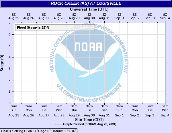
Rock Creek (KS) at Louisville
Critical Stages
22' - Action
27' - Flood
33' - Moderate
43' - Major
Latest Observation
Updated: 6:09 PM LMT 12/31/00
Status: Obs Not Current
Stage: -999 ft
Flow: -999 kcfs
Forecast
Forecast not available for this location.
Observation history not available.
43.1' -
The bridge deck of the Kansas Highway 99 bridge floods.
40.09' -
The intersection of Kansas Highway 99 and West Webster Road floods.
40' -
Water reaches the low steel of the Kansas Highway 99 bridge over Rock Creek.
36' -
West Webster Road floods. Fields are flooded and water is about 4 feet deep between Rock Creek and West Webster Road.
35' -
Homes along East Webster Road flood.
33' -
East Webster Road floods. The farm field is flooded and homes in the area begin to flood. The unpaved road leading to the park on the southeast side of Rock Creek floods.
32' -
South bank overflow begins west of the Kansas Highway 99 bridge. Water will begin to flood the adjacent farmers field.
31.7' -
The farm field on the north bank of Kansas Highway 99 bridge is flooded. Water begins to approach homes in the area along East Webster Road.
27' -
Minor low land flooding begins along the north bank of Rock Creek.
| Date | Stage (ft) |
|---|---|
| May 24, 2007 | 31.7 |
| May 1, 2007 | 30.26 |
| May 6, 2007 | 29.95 |
| Jun 5, 2015 | 29.13 |
| Jun 23, 2019 | 28.14 |
| May 25, 2020 | 27.36 |
| Jun 17, 2010 | 24.76 |
| Sep 13, 2018 | 24.39 |
| Jul 2, 2022 | 22.39 |
| Jul 26, 1998 | 19.8 |
| May 9, 2023 | 12.61 |
| Mar 27, 2021 | 12.29 |
| May 4, 1999 | 10.15 |
| May 1, 1997 | 9.74 |
| Dec 9, 1997 | 8.73 |
| Feb 13, 1996 | 8.09 |
Data provided by the National Weather Service.