« Back to Skiddy Cemetery Rivers
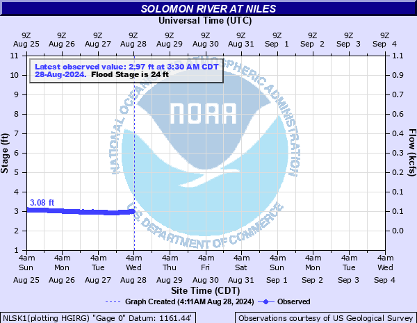
Solomon River at Niles
Critical Stages
19' - Action
24' - Flood
28' - Moderate
34' - Major
Latest Observation
Updated: 11:30 PM CST 12/14/25
Status: No Flooding
Stage: 4.31 ft
Flow: 0.119 kcfs
Forecast
Forecast not available for this location.
| Time | Stage (ft) | Flow (kcfs) |
|---|---|---|
| 11:30 PM 12/14 | 4.31 | 0.119 |
| 11:15 PM 12/14 | 4.32 | 0.12 |
| 11:00 PM 12/14 | 4.33 | 0.12 |
| 10:45 PM 12/14 | 4.34 | 0.121 |
| 10:30 PM 12/14 | 4.36 | 0.123 |
| 10:15 PM 12/14 | 4.37 | 0.124 |
| 10:00 PM 12/14 | 4.39 | 0.125 |
| 9:45 PM 12/14 | 4.4 | 0.126 |
| 9:30 PM 12/14 | 4.4 | 0.126 |
| 9:15 PM 12/14 | 4.41 | 0.127 |
| 9:00 PM 12/14 | 4.41 | 0.127 |
| 8:45 PM 12/14 | 4.42 | 0.128 |
| 8:30 PM 12/14 | 4.42 | 0.128 |
| 8:15 PM 12/14 | 4.42 | 0.128 |
| 8:00 PM 12/14 | 4.42 | 0.128 |
| 7:45 PM 12/14 | 4.41 | 0.127 |
| 7:30 PM 12/14 | 4.41 | 0.127 |
| 7:15 PM 12/14 | 4.41 | 0.127 |
| 7:00 PM 12/14 | 4.4 | 0.126 |
| 6:45 PM 12/14 | 4.4 | 0.126 |
| 6:30 PM 12/14 | 4.39 | 0.125 |
| 6:15 PM 12/14 | 4.37 | 0.124 |
| 6:00 PM 12/14 | 4.38 | 0.124 |
| 5:45 PM 12/14 | 4.37 | 0.124 |
| 5:30 PM 12/14 | 4.37 | 0.124 |
| 5:15 PM 12/14 | 4.36 | 0.123 |
| 5:00 PM 12/14 | 4.35 | 0.122 |
| 4:45 PM 12/14 | 4.33 | 0.12 |
| 4:30 PM 12/14 | 4.32 | 0.12 |
| 4:15 PM 12/14 | 4.29 | 0.117 |
27' -
Arrowhead Road west of Niles floods.
24' -
Low land flooding continues along the river.
23' -
Rural overflow begins around the community of Niles.
19' -
Water begins to overflow into the low portion of a cultivated field on the right bank, upstream, adjacent to the gage site.
| Date | Stage (ft) |
|---|---|
| Jul 14, 1951 | 31.76 |
| Jun 21, 1951 | 31 |
| Oct 11, 1973 | 30.92 |
| Sep 28, 1973 | 30.38 |
| Jul 22, 1993 | 30.24 |
| May 24, 2007 | 29.83 |
| Jul 12, 1993 | 29.48 |
| Jul 6, 1993 | 29.33 |
| May 24, 2019 | 29.1 |
| May 24, 1999 | 29.04 |
| Sep 21, 1967 | 29.01 |
| Apr 17, 1987 | 28.96 |
| Jul 7, 1982 | 28.82 |
| May 27, 1961 | 28.76 |
| May 12, 1993 | 28.57 |
| May 28, 1995 | 28.45 |
| Jun 12, 1961 | 28.36 |
| Sep 18, 1961 | 28.26 |
| May 9, 2019 | 28.2 |
| Jul 23, 1992 | 27.91 |
Data provided by the National Weather Service.