« Back to South Bloomingville Rivers
Scioto River at Chillicothe
Critical Stages
14' - Action
16' - Flood
22' - Moderate
31' - Major
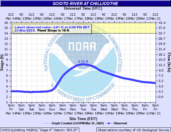
Latest Observation
Updated: 1:00 AM EST 12/5/25
Status: No Flooding
Stage: 2.32 ft
Flow: 1.12 kcfs
Forecast
Forecast not available for this location.
| Time | Stage (ft) | Flow (kcfs) |
|---|---|---|
| 1:00 AM 12/5 | 2.32 | 1.12 |
| 12:45 AM 12/5 | 2.32 | 1.12 |
| 12:30 AM 12/5 | 2.32 | 1.12 |
| 12:15 AM 12/5 | 2.32 | 1.12 |
| 12:00 AM 12/5 | 2.32 | 1.12 |
| 11:45 PM 12/4 | 2.32 | 1.12 |
| 11:30 PM 12/4 | 2.32 | 1.12 |
| 11:15 PM 12/4 | 2.32 | 1.12 |
| 11:00 PM 12/4 | 2.32 | 1.12 |
| 10:45 PM 12/4 | 2.33 | 1.13 |
| 10:30 PM 12/4 | 2.33 | 1.13 |
| 10:15 PM 12/4 | 2.33 | 1.13 |
| 10:00 PM 12/4 | 2.33 | 1.13 |
| 9:45 PM 12/4 | 2.33 | 1.13 |
| 9:30 PM 12/4 | 2.33 | 1.13 |
| 9:15 PM 12/4 | 2.33 | 1.13 |
| 9:00 PM 12/4 | 2.33 | 1.13 |
| 8:45 PM 12/4 | 2.33 | 1.13 |
| 8:30 PM 12/4 | 2.33 | 1.13 |
| 8:15 PM 12/4 | 2.33 | 1.13 |
| 8:00 PM 12/4 | 2.33 | 1.13 |
| 7:45 PM 12/4 | 2.33 | 1.13 |
| 7:30 PM 12/4 | 2.33 | 1.13 |
| 7:15 PM 12/4 | 2.33 | 1.13 |
| 7:00 PM 12/4 | 2.33 | 1.13 |
| 6:45 PM 12/4 | 2.33 | 1.13 |
| 6:30 PM 12/4 | 2.33 | 1.13 |
| 6:15 PM 12/4 | 2.33 | 1.13 |
| 6:00 PM 12/4 | 2.33 | 1.13 |
| 5:45 PM 12/4 | 2.34 | 1.14 |
40' -
Water begins to flow onto High Street and will already be across the Paint Street Bridge, the railroad bridge and the Bridge Street Bridge. Extensive lowland flooding occurs along the river throughout Ross County.
36' -
Water flows onto the Paint Street Bridge and will already be across the railroad bridge in the southeast part of Chillicothe and the South Bridge Street Bridge. Extensive lowland flooding occurs along the river throughout Ross County.
30.5' -
This is similar to the FEMA 1 percent flood. Flooding occurs on North Bridge Street and Eastern Avenue near the river in Chillicothe. Portions of State Route 207 and State Route 205 are flooded. Extensive lowland flooding occurs along the river throughout Ross County.
25' -
Extensive lowland flooding occurs along the Scioto River throughout Ross County, with evacuations continuing for residents in low areas along the river.
23' -
Flooding is widespread through lowland areas of Ross County. Some roadways are flooded, with numerous homes inundated in Yellowbud. Extensive crop losses occur during the growing season.
22' -
Lowland flooding continues near Chillicothe. In Yellowbud, several homes are inundated due to backwater flooding from the Scioto River into Yellowbud Creek.
19.3' -
Significant lowland flooding occurs along the Scioto River in Ross County. While Chillicothe itself has only minimal flooding, backwater flooding along Yellowbud Creek results in significant flooding near Yellowbud.
17' -
Lowland areas flood along the Scioto River in Ross County. Backwater flooding from the Scioto River affects Yellowbud Creek, with lowland flooding near Yellowbud.
16' -
Kellenberger Road near Yellowbud is flooded. Flooding occurs along stretches of the recreational bike trail, with water possibly encroaching along Stewart Road.
| Date | Stage (ft) |
|---|---|
| Mar 26, 1913 | 39.8 |
| Jan 23, 1959 | 32.5 |
| Mar 24, 1898 | 28.3 |
| Jan 23, 1937 | 27.8 |
| Jan 28, 1952 | 26.8 |
| Feb 28, 1929 | 26 |
| Mar 8, 1945 | 25.7 |
| Mar 6, 1963 | 25.2 |
| Mar 11, 1964 | 24.55 |
| Apr 21, 1940 | 23.9 |
| Mar 29, 1916 | 22.7 |
| May 16, 1933 | 22.3 |
| Mar 23, 1927 | 21.6 |
| Jan 8, 2005 | 20.89 |
| Jan 14, 2005 | 19.12 |
| Mar 1, 1962 | 18.28 |
| Jan 7, 2004 | 17.73 |
| May 29, 1968 | 17.66 |
| Jan 2, 1991 | 17.58 |
| Apr 5, 2024 | 16.79 |
Data provided by the National Weather Service.