« Back to South Danville Rivers
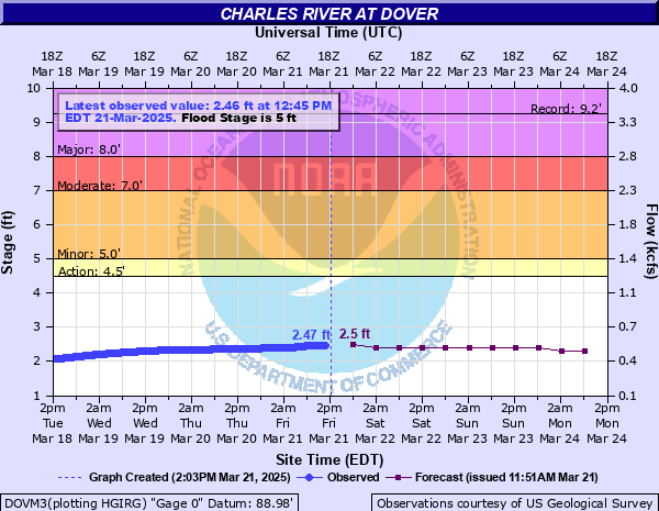
Charles River at Dover
Critical Stages
4.5' - Action
5' - Flood
7' - Moderate
8' - Major
Latest Observation
Updated: 9:45 PM EST 12/5/25
Status: No Flooding
Stage: 1.41 ft
Flow: 0.263 kcfs
Forecast
| Time | Stage (ft) | Flow (kcfs) |
|---|---|---|
| 1 AM 12/6 | 1.5 | 0.292 |
| 7 AM 12/6 | 1.5 | 0.292 |
| 1 PM 12/6 | 1.5 | 0.292 |
| 7 PM 12/6 | 1.4 | 0.26 |
| 1 AM 12/7 | 1.4 | 0.26 |
| 7 AM 12/7 | 1.4 | 0.26 |
| 1 PM 12/7 | 1.4 | 0.26 |
| 7 PM 12/7 | 1.4 | 0.26 |
| 1 AM 12/8 | 1.4 | 0.26 |
| 7 AM 12/8 | 1.3 | 0.224 |
| Time | Stage (ft) | Flow (kcfs) |
|---|---|---|
| 9:45 PM 12/5 | 1.41 | 0.263 |
| 9:30 PM 12/5 | 1.41 | 0.263 |
| 9:15 PM 12/5 | 1.41 | 0.263 |
| 9:00 PM 12/5 | 1.41 | 0.263 |
| 8:45 PM 12/5 | 1.41 | 0.263 |
| 8:30 PM 12/5 | 1.41 | 0.263 |
| 8:15 PM 12/5 | 1.41 | 0.263 |
| 8:00 PM 12/5 | 1.41 | 0.263 |
| 7:45 PM 12/5 | 1.41 | 0.263 |
| 7:30 PM 12/5 | 1.41 | 0.263 |
| 7:15 PM 12/5 | 1.41 | 0.263 |
| 7:00 PM 12/5 | 1.41 | 0.263 |
| 6:45 PM 12/5 | 1.41 | 0.263 |
| 6:30 PM 12/5 | 1.41 | 0.263 |
| 6:15 PM 12/5 | 1.41 | 0.263 |
| 6:00 PM 12/5 | 1.41 | 0.263 |
| 5:45 PM 12/5 | 1.41 | 0.263 |
| 5:30 PM 12/5 | 1.41 | 0.263 |
| 5:15 PM 12/5 | 1.41 | 0.263 |
| 5:00 PM 12/5 | 1.41 | 0.263 |
| 4:45 PM 12/5 | 1.41 | 0.263 |
| 4:30 PM 12/5 | 1.41 | 0.263 |
| 4:15 PM 12/5 | 1.41 | 0.263 |
| 4:00 PM 12/5 | 1.41 | 0.263 |
| 3:45 PM 12/5 | 1.41 | 0.263 |
| 3:30 PM 12/5 | 1.41 | 0.263 |
| 3:15 PM 12/5 | 1.41 | 0.263 |
| 3:00 PM 12/5 | 1.41 | 0.263 |
| 2:45 PM 12/5 | 1.41 | 0.263 |
| 2:30 PM 12/5 | 1.41 | 0.263 |
9' -
Anyone with interests along the Charles River must act now to protect life and property. If you are asked to evacuate, do so immediately. Flooding will impact portions of Dover, Medway, South Natick and Wellesley. Some roadways may become flooded. Never try to cross a flooded roadway. The road could be washed out. Know your alternate routes of travel. Some roads will be closed due to flooding.
8' -
Flooding will impact portions of Dover, Medfield, Millis, Medway, South Natick, Needham and Wellesley With Road closures and local evacuations possible.
7' -
Flooding will close a portion of Mill Street in Dover. Flooding also affects low lying sections of Medway along Shaw Street and Charles River Road, as well as Route 109 at the Millis and Medfield town line. Flooding also is expected along Causeway Street in Medfield. Flooding affects homes along River Street in South Natick.
6.5' -
Flooding affects homes along River Street in South Natick. Flood waters also affect part of Route 109 at the Medfield and Millis town line. Flooding will continue to increase in Needham along Fisher Street.
6' -
Flooding will affect a few homes in Needham along Fisher Street, as well as a portion of Route 109 at the Medfield and Millis town line. Some flooding is also likely on the South Natick and Wellesley town line along River Street.
5' -
People living along the Charles River should prepare for flooding of low lying areas along the river. Susceptible locations include low lying areas along Fisher Street in Needham and a small area on the South Natick and Wellesley line along River Street.
| Date | Stage (ft) |
|---|---|
| Aug 23, 1955 | 9.24 |
| Mar 25, 1936 | 9.1 |
| Jun 27, 1938 | 9 |
| Mar 22, 1968 | 8.72 |
| Jan 28, 1979 | 8.36 |
| Apr 2, 2010 | 8.05 |
| Mar 18, 2010 | 7.76 |
| Jun 4, 1984 | 7.36 |
| Jun 9, 1982 | 7.32 |
| Mar 25, 2001 | 6.97 |
| Dec 22, 2023 | 6.86 |
| Jun 18, 1998 | 6.84 |
| Jun 18, 1998 | 6.8 |
| Jan 15, 2024 | 6.78 |
| Jun 11, 2006 | 6.48 |
| Mar 22, 1949 | 6.44 |
| Mar 31, 1978 | 6.37 |
| Feb 3, 1976 | 6.12 |
| Jan 30, 1958 | 6.0900001525879 |
| Oct 19, 2005 | 6.09 |
Data provided by the National Weather Service.