« Back to South Danville Rivers
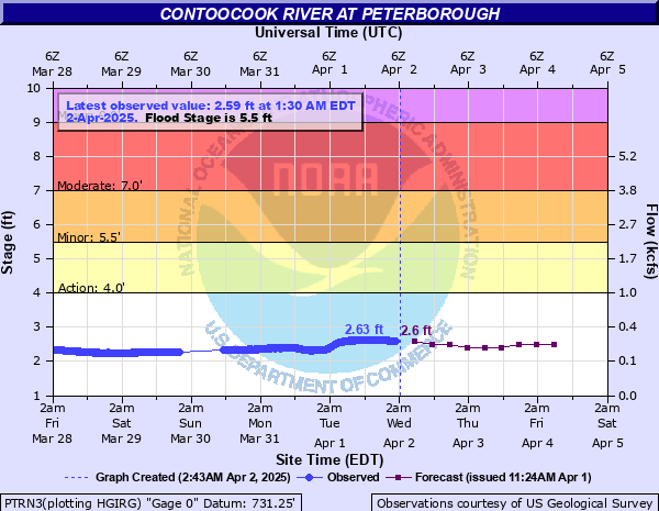
Contoocook River at Peterborough
Critical Stages
4' - Action
5.5' - Flood
7' - Moderate
9' - Major
Latest Observation
Updated: 9:30 PM EST 12/5/25
Status: No Flooding
Stage: 1.45 ft
Flow: 0.0383 kcfs
Forecast
| Time | Stage (ft) | Flow (kcfs) |
|---|---|---|
| 1 AM 12/6 | 1.4 | 0.034 |
| 7 AM 12/6 | 1.4 | 0.034 |
| 1 PM 12/6 | 1.4 | 0.034 |
| 7 PM 12/6 | 1.4 | 0.034 |
| 1 AM 12/7 | 1.4 | 0.034 |
| 7 AM 12/7 | 1.4 | 0.034 |
| 1 PM 12/7 | 1.4 | 0.034 |
| 7 PM 12/7 | 1.4 | 0.034 |
| 1 AM 12/8 | 1.4 | 0.034 |
| 7 AM 12/8 | 1.4 | 0.034 |
| Time | Stage (ft) | Flow (kcfs) |
|---|---|---|
| 9:30 PM 12/5 | 1.45 | 0.0383 |
| 9:15 PM 12/5 | 1.45 | 0.0383 |
| 9:00 PM 12/5 | 1.45 | 0.0383 |
| 8:45 PM 12/5 | 1.45 | 0.0383 |
| 8:30 PM 12/5 | 1.45 | 0.0383 |
| 8:15 PM 12/5 | 1.45 | 0.0383 |
| 8:00 PM 12/5 | 1.46 | 0.0392 |
| 7:45 PM 12/5 | 1.46 | 0.0392 |
| 7:30 PM 12/5 | 1.46 | 0.0392 |
| 7:15 PM 12/5 | 1.46 | 0.0392 |
| 7:00 PM 12/5 | 1.46 | 0.0392 |
| 6:45 PM 12/5 | 1.46 | 0.0392 |
| 6:30 PM 12/5 | 1.46 | 0.0392 |
| 6:15 PM 12/5 | 1.46 | 0.0392 |
| 6:00 PM 12/5 | 1.46 | 0.0392 |
| 5:45 PM 12/5 | 1.47 | 0.0401 |
| 5:30 PM 12/5 | 1.47 | 0.0401 |
| 5:15 PM 12/5 | 1.47 | 0.0401 |
| 5:00 PM 12/5 | 1.46 | 0.0392 |
| 4:45 PM 12/5 | 1.47 | 0.0401 |
| 4:30 PM 12/5 | 1.47 | 0.0401 |
| 4:15 PM 12/5 | 1.47 | 0.0401 |
| 4:00 PM 12/5 | 1.47 | 0.0401 |
| 3:45 PM 12/5 | 1.47 | 0.0401 |
| 3:30 PM 12/5 | 1.46 | 0.0392 |
| 3:15 PM 12/5 | 1.47 | 0.0401 |
| 3:00 PM 12/5 | 1.46 | 0.0392 |
| 2:45 PM 12/5 | 1.46 | 0.0392 |
| 2:30 PM 12/5 | 1.46 | 0.0392 |
| 2:15 PM 12/5 | 1.46 | 0.0392 |
17.5' -
This is the maximum reportable stage of the river gage.
9.5' -
This is a major...life threatening flood in the Peterborough area. floodwaters affect low lying businesses off of grove street and wilton road including peterborough plaza...and parking lots and low lying residences off of pheasant road including the riverview apartments. significant flooding occurs along roads and low lying properties adjacent to the river including the following...route 136...concord street...jaffrey road...summer street...sharon road...bogle road...and hunt road.
7.5' -
Major flooding occurs in the Peterborough area. Route 136 floods near Bogle Road. Floodwaters affect low lying businesses off of Grove Street and Wilton Road including Peterborough Plaza...and parking lots and low lying residences off of Pheasant Road including the Riverview Apartments. Significant flooding occurs along roads and low lying properties adjacent to the river including the following...Concord Street...Jaffrey Road...Summer Street...Sharon Road...Bogle Road...and Hunt Road.
6.5' -
Significant flooding occurs in Peterborough. Floodwaters inundate portions of the Peterborough Plaza parking area. Floodwaters affect low lying businesses off of Grove street and Wilton road. Flooding occurs at low lying properties along and/or stretches of the following roads...Concord Street...Summer Street...Sharon Road...Bogle Road...and Hunt Road. Inundation may occur along the parking lots off of Pheasant Road including the Riverview Apartments.
5.5' -
Floodwaters approach low lying roads and properties in the Peterborough area...especially along Concord Street.
| Date | Stage (ft) |
|---|---|
| Sep 21, 1938 | 15 |
| Apr 16, 2007 | 7.21 |
| Mar 7, 2011 | 6.92 |
| Jan 29, 1976 | 6.82 |
| Apr 6, 1987 | 6.62 |
| Nov 26, 1950 | 6.35 |
| Oct 30, 2017 | 6.1 |
| Mar 15, 2010 | 6.03 |
| Sep 12, 1960 | 5.93 |
| Aug 19, 1991 | 5.86 |
| May 31, 1984 | 5.85 |
| Apr 16, 1996 | 5.85 |
| Oct 21, 1997 | 5.83 |
| Dec 21, 1973 | 5.81 |
| Mar 31, 2010 | 5.76 |
| Oct 15, 2005 | 5.73 |
| Apr 3, 2005 | 5.67 |
| Jan 10, 1956 | 5.66 |
| Apr 5, 1960 | 5.47 |
| Apr 29, 1956 | 5.39 |
Data provided by the National Weather Service.