« Back to South Danville Rivers
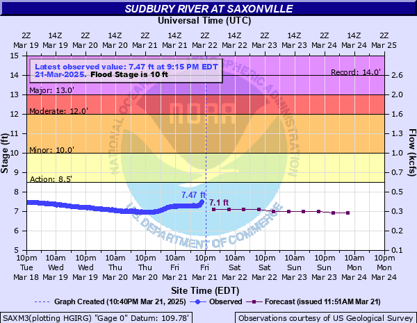
Sudbury River at Saxonville
Critical Stages
8.5' - Action
10' - Flood
12' - Moderate
13' - Major
Latest Observation
Updated: 9:15 PM EST 12/5/25
Status: No Flooding
Stage: 5.71 ft
Flow: 0.149 kcfs
Forecast
| Time | Stage (ft) | Flow (kcfs) |
|---|---|---|
| 1 AM 12/6 | 5.8 | 0.16 |
| 7 AM 12/6 | 5.8 | 0.16 |
| 1 PM 12/6 | 5.8 | 0.16 |
| 7 PM 12/6 | 5.7 | 0.148 |
| 1 AM 12/7 | 5.7 | 0.148 |
| 7 AM 12/7 | 5.7 | 0.148 |
| 1 PM 12/7 | 5.7 | 0.148 |
| 7 PM 12/7 | 5.7 | 0.148 |
| 1 AM 12/8 | 5.7 | 0.148 |
| 7 AM 12/8 | 5.7 | 0.148 |
| Time | Stage (ft) | Flow (kcfs) |
|---|---|---|
| 9:15 PM 12/5 | 5.71 | 0.149 |
| 9:00 PM 12/5 | 5.71 | 0.149 |
| 8:45 PM 12/5 | 5.71 | 0.149 |
| 8:30 PM 12/5 | 5.72 | 0.151 |
| 8:15 PM 12/5 | 5.72 | 0.151 |
| 8:00 PM 12/5 | 5.72 | 0.151 |
| 7:45 PM 12/5 | 5.73 | 0.152 |
| 7:30 PM 12/5 | 5.72 | 0.151 |
| 7:15 PM 12/5 | 5.73 | 0.152 |
| 7:00 PM 12/5 | 5.73 | 0.152 |
| 6:45 PM 12/5 | 5.73 | 0.152 |
| 6:30 PM 12/5 | 5.73 | 0.152 |
| 6:15 PM 12/5 | 5.73 | 0.152 |
| 6:00 PM 12/5 | 5.73 | 0.152 |
| 5:45 PM 12/5 | 5.74 | 0.153 |
| 5:30 PM 12/5 | 5.74 | 0.153 |
| 5:15 PM 12/5 | 5.75 | 0.154 |
| 5:00 PM 12/5 | 5.75 | 0.154 |
| 4:45 PM 12/5 | 5.75 | 0.154 |
| 4:30 PM 12/5 | 5.75 | 0.154 |
| 4:15 PM 12/5 | 5.76 | 0.155 |
| 4:00 PM 12/5 | 5.76 | 0.155 |
| 3:45 PM 12/5 | 5.76 | 0.155 |
| 3:30 PM 12/5 | 5.76 | 0.155 |
| 3:15 PM 12/5 | 5.77 | 0.156 |
| 3:00 PM 12/5 | 5.77 | 0.156 |
| 2:45 PM 12/5 | 5.77 | 0.156 |
| 2:30 PM 12/5 | 5.78 | 0.157 |
| 2:15 PM 12/5 | 5.78 | 0.157 |
| 2:00 PM 12/5 | 5.78 | 0.157 |
15' -
Significant flooding occurs along the river, especially in Wayland and Concord. In Wayland portions of Route 20 both west and east bound as well as Route 27, Old Sudbury Road, will be impacted. In Concord Nashawtuc Road, Sudbury Road and Route 117 will be heavily impacted. This is a serious, potentially life threatening situation. Follow the directions of local officials if you are asked to evacuate. Do not go sightseeing and stay away from river banks which can give way due to erosion.
13.5' -
Significant flooding occurs along the river, espeically in Wayland and Concord. In Wayland, portions of Route 20 both west and east bound as well as Route 27, Old Sudbury Road, will be impacted from Glezen Lane to the Sudbury town line. In Concord Nashawtuc Road, Sudbury Road and Route 117 will be heavily impacted. Should evacuation be required, do so immediately. Follow the directions of emergency management officials. Know alternate routes for travel, and stay away from flooded areas.
12.5' -
Flooding impacts portions of Route 27, Old Sudbury Road, in Wayland as well as Route 20 both west and east bound at Route 27. Portions of Route 27 will have up to 12 inches of water. Other low lying areas in Wayland will experience flooding including Pelham Island Road and Shore Drive near Stonebridge Road. Flood waters will be impacting portions of Nashawtuc Road, Sudbury Road and Route 117 in Concord.
12' -
Flooding affects low lying areas of Wayland, including Pelham Island Road near Heards Pond. Shore Drive near Stonebridge Road will experience some flooding as well as Route 20 eastbound at Route 27. Flood waters will begin to impact portions of Nashawtuc Road, Sudbury Road and Route 117 in Concord.
11' -
Flooding will affect portions of Shore and Pelham Island Roads as well as River Road in Wayland. Flooding will also begin to impact Route 20 at Route 27. Other low lying areas along the river will experience flooding.
10' -
Flooding will affect low lying areas along the river in Wayland, including a portion of Shore Road and Pelham Island Road near Heards Pond.
| Date | Stage (ft) |
|---|---|
| Mar 31, 2010 | 13.99 |
| Apr 8, 1987 | 13.47 |
| Jun 7, 1982 | 13.3 |
| Mar 16, 2010 | 12.92 |
| Mar 23, 2001 | 12.61 |
| Oct 15, 2005 | 12.04 |
| Jun 3, 1984 | 11.98 |
| Apr 1, 1993 | 11.97 |
| Jan 10, 2024 | 11.72 |
| Dec 12, 2008 | 11.5 |
| Jan 13, 2024 | 11.34 |
| Dec 19, 2023 | 11.27 |
| Dec 19, 2023 | 11.27 |
| Feb 26, 2010 | 11.12 |
| Oct 21, 1996 | 11.08 |
| Apr 18, 2007 | 11.01 |
| Apr 24, 2000 | 10.9 |
| Mar 24, 2010 | 10.78 |
| Jun 14, 1998 | 10.77 |
| Apr 23, 2019 | 10.69 |
Data provided by the National Weather Service.