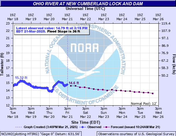
Ohio River at New Cumberland Lock and Dam
Critical Stages
26.6' - Action
36' - Flood
38' - Moderate
39' - Major
Latest Observation
Updated: 11:00 AM EST 12/6/25
Status: No Flooding
Stage: 13.17 ft
Flow: -999 kcfs
Forecast
| Time | Stage (ft) | Flow (kcfs) |
|---|---|---|
| 1 PM 12/6 | 12.8 | -999 |
| 7 PM 12/6 | 12.7 | -999 |
| 1 AM 12/7 | 12.6 | -999 |
| 7 AM 12/7 | 12.5 | -999 |
| 1 PM 12/7 | 12.5 | -999 |
| 7 PM 12/7 | 12.4 | -999 |
| 1 AM 12/8 | 12.4 | -999 |
| 7 AM 12/8 | 12.3 | -999 |
| 1 PM 12/8 | 12.3 | -999 |
| 7 PM 12/8 | 12.3 | -999 |
| 1 AM 12/9 | 12.3 | -999 |
| 7 AM 12/9 | 12.3 | -999 |
| 1 PM 12/9 | 12.2 | -999 |
| 7 PM 12/9 | 12.2 | -999 |
| 1 AM 12/10 | 12.2 | -999 |
| 7 AM 12/10 | 12.1 | -999 |
| 1 PM 12/10 | 12.1 | -999 |
| 7 PM 12/10 | 12.1 | -999 |
| 1 AM 12/11 | 12.1 | -999 |
| 7 AM 12/11 | 12.1 | -999 |
| Time | Stage (ft) | Flow (kcfs) |
|---|---|---|
| 11:15 AM 12/6 | 13.19 | -999 |
| 11:00 AM 12/6 | 13.17 | -999 |
| 10:45 AM 12/6 | 13.17 | -999 |
| 10:30 AM 12/6 | 13.12 | -999 |
| 10:15 AM 12/6 | 13.16 | -999 |
| 10:00 AM 12/6 | 13.11 | -999 |
| 9:45 AM 12/6 | 13.08 | -999 |
| 9:30 AM 12/6 | 13.2 | -999 |
| 9:15 AM 12/6 | 13 | -999 |
| 9:00 AM 12/6 | 13.01 | -999 |
| 8:45 AM 12/6 | 12.99 | -999 |
| 8:30 AM 12/6 | 12.99 | -999 |
| 8:15 AM 12/6 | 12.96 | -999 |
| 8:00 AM 12/6 | 12.95 | -999 |
| 7:45 AM 12/6 | 12.93 | -999 |
| 7:30 AM 12/6 | 12.91 | -999 |
| 7:15 AM 12/6 | 12.86 | -999 |
| 7:00 AM 12/6 | 12.83 | -999 |
| 6:45 AM 12/6 | 12.76 | -999 |
| 6:30 AM 12/6 | 12.79 | -999 |
| 6:15 AM 12/6 | 12.73 | -999 |
| 6:00 AM 12/6 | 12.68 | -999 |
| 5:45 AM 12/6 | 12.59 | -999 |
| 5:30 AM 12/6 | 12.82 | -999 |
| 5:15 AM 12/6 | 12.82 | -999 |
| 5:00 AM 12/6 | 12.6 | -999 |
| 4:45 AM 12/6 | 12.59 | -999 |
| 4:30 AM 12/6 | 12.57 | -999 |
| 4:15 AM 12/6 | 12.53 | -999 |
| 4:00 AM 12/6 | 12.62 | -999 |
45' -
Flood waters are approximately one foot deep at the flood indicator pole near the old senior center on Route 2.
42' -
Lock walls overtopped. Flood waters are approximately one foot deep at the flood indicator pole near Harrison and South Chester Streets.
41' -
Flood waters are approximately one foot deep at the flood indicator pole near Jefferson Street and Route 2.
40' -
Flood waters are approximately one foot deep at the flood indicator pole near Adams Street and Route 2.
39' -
Flood waters are approximately one foot deep near the flood indicator pole on South Chestnut Street at the bottom of Chelsea Hill.
38' -
Flood waters are approximately one foot deep near the flood indicator pole on may street.
37' -
Navigation suspended, lock out of service. Flood waters are approximately one foot deep near the flood pole indicator at the south end of South Chestnut Street.
| Date | Stage (ft) |
|---|---|
| Mar 19, 1936 | 54.3 |
| Dec 31, 1942 | 50.2 |
| Jan 26, 1937 | 46.5 |
| Mar 11, 1964 | 45.7 |
| Mar 7, 1945 | 45.6 |
| Jan 20, 1996 | 45.6 |
| Apr 27, 1937 | 45.5 |
| Jun 24, 1972 | 45.4 |
| Oct 17, 1954 | 44.9 |
| Sep 19, 2004 | 44.5 |
| Jan 23, 1937 | 44.4 |
| Jan 23, 1959 | 43.1 |
| Apr 21, 1940 | 41.2 |
| Jan 7, 2005 | 41 |
| Apr 4, 2024 | 40.02 |
| Mar 9, 2011 | 39.23 |
| Mar 26, 1936 | 39 |
| Apr 1, 1960 | 38.9 |
| Feb 14, 1966 | 38.6 |
| Jan 1, 1991 | 38 |
Data provided by the National Weather Service.