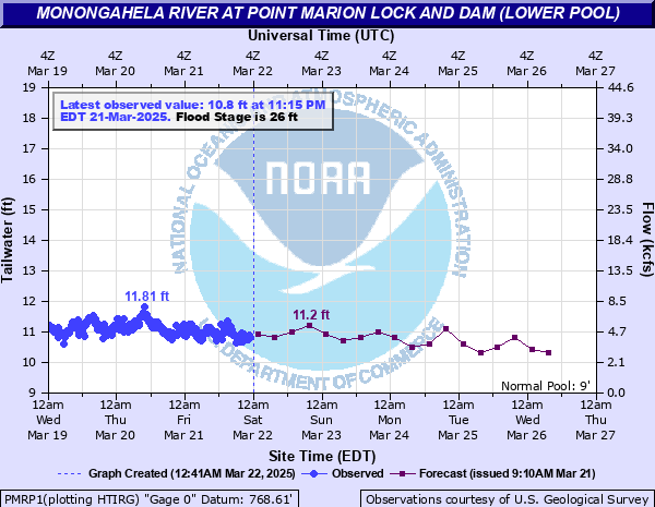
Monongahela River at Point Marion Lock and Dam (lower pool)
Critical Stages
20' - Action
26' - Flood
27' - Moderate
28' - Major
Latest Observation
Updated: 10:15 AM EST 12/6/25
Status: No Flooding
Stage: 10.26 ft
Flow: 2.71 kcfs
Forecast
| Time | Stage (ft) | Flow (kcfs) |
|---|---|---|
| 1 PM 12/6 | 10.4 | 3.09 |
| 7 PM 12/6 | 10.4 | 3.09 |
| 1 AM 12/7 | 10.4 | 3.09 |
| 7 AM 12/7 | 10.4 | 3.09 |
| 1 PM 12/7 | 10.5 | 3.4 |
| 7 PM 12/7 | 10.4 | 3.09 |
| 1 AM 12/8 | 10.4 | 3.09 |
| 7 AM 12/8 | 10.4 | 3.09 |
| 1 PM 12/8 | 10.5 | 3.4 |
| 7 PM 12/8 | 10.4 | 3.09 |
| 1 AM 12/9 | 10.4 | 3.09 |
| 7 AM 12/9 | 10.4 | 3.09 |
| 1 PM 12/9 | 10.4 | 3.09 |
| 7 PM 12/9 | 10.4 | 3.09 |
| 1 AM 12/10 | 10.4 | 3.09 |
| 7 AM 12/10 | 10.4 | 3.09 |
| 1 PM 12/10 | 10.4 | 3.09 |
| 7 PM 12/10 | 10.4 | 3.09 |
| 1 AM 12/11 | 10.4 | 3.09 |
| 7 AM 12/11 | 10.4 | 3.09 |
| Time | Stage (ft) | Flow (kcfs) |
|---|---|---|
| 10:15 AM 12/6 | 10.26 | 2.71 |
| 10:00 AM 12/6 | 10.4 | 3.09 |
| 9:45 AM 12/6 | 10.35 | 2.95 |
| 9:30 AM 12/6 | 10.26 | 2.71 |
| 9:15 AM 12/6 | 10.41 | 3.12 |
| 9:00 AM 12/6 | 10.28 | 2.76 |
| 8:45 AM 12/6 | 10.36 | 2.98 |
| 8:30 AM 12/6 | 10.42 | 3.15 |
| 8:15 AM 12/6 | 10.34 | 2.92 |
| 8:00 AM 12/6 | 10.34 | 2.92 |
| 7:45 AM 12/6 | 10.43 | 3.18 |
| 7:30 AM 12/6 | 10.39 | 3.06 |
| 7:15 AM 12/6 | 10.35 | 2.95 |
| 7:00 AM 12/6 | 10.5 | 3.4 |
| 6:45 AM 12/6 | 10.35 | 2.95 |
| 6:30 AM 12/6 | 10.56 | 3.54 |
| 6:15 AM 12/6 | 10.46 | 3.27 |
| 6:00 AM 12/6 | 10.36 | 2.98 |
| 5:45 AM 12/6 | 10.45 | 3.24 |
| 5:30 AM 12/6 | 10.42 | 3.15 |
| 5:15 AM 12/6 | 10.61 | 3.66 |
| 5:00 AM 12/6 | 10.53 | 3.47 |
| 4:45 AM 12/6 | 10.45 | 3.24 |
| 4:30 AM 12/6 | 10.57 | 3.56 |
| 4:15 AM 12/6 | 10.57 | 3.56 |
| 4:00 AM 12/6 | 10.42 | 3.15 |
| 3:45 AM 12/6 | 10.54 | 3.49 |
| 3:30 AM 12/6 | 10.42 | 3.15 |
| 3:15 AM 12/6 | 10.46 | 3.27 |
| 3:00 AM 12/6 | 10.53 | 3.47 |
45' -
Flood waters extend to near the railroad tracks.
44.4' -
Water reaches the flood of record...Election Day Flood event...November 5, 1985.
40' -
Flood waters extend to main and cheat streets.
35' -
Flood waters reach portions of Fourth, Water, Second, Broadway, and Home Streets in Point Marion.
34' -
Flood waters reach homes on Water Street, and the lock walls are overtopped at Point Marion Locks and Dam.
30.36' -
Water levels reach the flood levels of the flood of July 29, 2017.
29.7' -
The first floors of about twenty-five homes in Point Marion are flooded, and backwater flooding occurs along Camp Run.
29' -
The locks go out of service at the Point Marion Locks and Dam, and navigation is suspended. Flood waters reach Water Street near the intersection with Penn Street in Point Marion.
27.97' -
Water reaches the level reached on March 4, 2015.
27.5' -
Flood waters reach the access road to Point Marion Locks and Dam about 0.8 of a mile below the dam.
26' -
Basement flooding begins in some homes and businesses in Point Marion.
| Date | Stage (ft) |
|---|---|
| Jan 19, 1996 | 34 |
| Mar 7, 1967 | 33.5 |
| Feb 19, 2000 | 32.3 |
| Mar 5, 1963 | 31.8 |
| Jul 29, 2017 | 30.3 |
| Mar 20, 1963 | 30.2 |
| May 24, 1968 | 29.7 |
| Mar 4, 2015 | 27.97 |
| Feb 17, 2018 | 27.66 |
| Jan 26, 1978 | 27.6 |
| Jun 6, 1981 | 27.4 |
| Aug 18, 1980 | 27.2 |
| Jun 24, 1974 | 27 |
| Dec 14, 2007 | 27 |
| Jan 11, 1974 | 27 |
| Mar 1, 2021 | 26.9 |
| Jun 23, 1972 | 26.3 |
| Dec 9, 1978 | 26.2 |
| May 4, 2009 | 26.19 |
| Nov 20, 2003 | 25.6 |
Data provided by the National Weather Service.