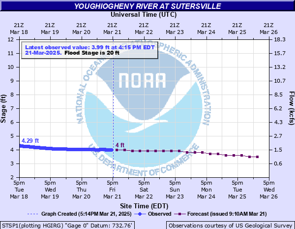
Youghiogheny River at Sutersville
Critical Stages
14.9' - Action
20' - Flood
21' - Moderate
23' - Major
Latest Observation
Updated: 10:15 AM EST 12/6/25
Status: No Flooding
Stage: 3.23 ft
Flow: 0.777 kcfs
Forecast
| Time | Stage (ft) | Flow (kcfs) |
|---|---|---|
| 1 PM 12/6 | 3.3 | 0.83 |
| 7 PM 12/6 | 3.3 | 0.83 |
| 1 AM 12/7 | 3.4 | 0.911 |
| 7 AM 12/7 | 3.4 | 0.911 |
| 1 PM 12/7 | 3.4 | 0.911 |
| 7 PM 12/7 | 3.4 | 0.911 |
| 1 AM 12/8 | 3.4 | 0.911 |
| 7 AM 12/8 | 3.4 | 0.911 |
| 1 PM 12/8 | 3.3 | 0.83 |
| 7 PM 12/8 | 3.3 | 0.83 |
| 1 AM 12/9 | 3.3 | 0.83 |
| 7 AM 12/9 | 3.3 | 0.83 |
| 1 PM 12/9 | 3.3 | 0.83 |
| 7 PM 12/9 | 3.3 | 0.83 |
| 1 AM 12/10 | 3.3 | 0.83 |
| 7 AM 12/10 | 3.3 | 0.83 |
| 1 PM 12/10 | 3.3 | 0.83 |
| 7 PM 12/10 | 3.3 | 0.83 |
| 1 AM 12/11 | 3.3 | 0.83 |
| 7 AM 12/11 | 3.4 | 0.911 |
| Time | Stage (ft) | Flow (kcfs) |
|---|---|---|
| 10:15 AM 12/6 | 3.23 | 0.777 |
| 10:00 AM 12/6 | 3.23 | 0.777 |
| 9:45 AM 12/6 | 3.23 | 0.777 |
| 9:30 AM 12/6 | 3.23 | 0.777 |
| 9:15 AM 12/6 | 3.23 | 0.777 |
| 9:00 AM 12/6 | 3.23 | 0.777 |
| 8:45 AM 12/6 | 3.23 | 0.777 |
| 8:30 AM 12/6 | 3.23 | 0.777 |
| 8:15 AM 12/6 | 3.23 | 0.777 |
| 8:00 AM 12/6 | 3.24 | 0.784 |
| 7:45 AM 12/6 | 3.24 | 0.784 |
| 7:30 AM 12/6 | 3.24 | 0.784 |
| 7:15 AM 12/6 | 3.24 | 0.784 |
| 7:00 AM 12/6 | 3.24 | 0.784 |
| 6:45 AM 12/6 | 3.24 | 0.784 |
| 6:30 AM 12/6 | 3.24 | 0.784 |
| 6:15 AM 12/6 | 3.24 | 0.784 |
| 6:00 AM 12/6 | 3.24 | 0.784 |
| 5:45 AM 12/6 | 3.25 | 0.792 |
| 5:30 AM 12/6 | 3.25 | 0.792 |
| 5:15 AM 12/6 | 3.25 | 0.792 |
| 5:00 AM 12/6 | 3.25 | 0.792 |
| 4:45 AM 12/6 | 3.25 | 0.792 |
| 4:30 AM 12/6 | 3.25 | 0.792 |
| 4:15 AM 12/6 | 3.25 | 0.792 |
| 4:00 AM 12/6 | 3.25 | 0.792 |
| 3:45 AM 12/6 | 3.28 | 0.815 |
| 3:30 AM 12/6 | 3.28 | 0.815 |
| 3:15 AM 12/6 | 3.29 | 0.823 |
| 3:00 AM 12/6 | 3.29 | 0.823 |
32.5' -
Water reaches the flood of record...October 16, 1954.
30.65' -
Water reaches the level of the St. Patricks Day Flood and crest on March 18, 1936.
29.7' -
Water reaches the level reached during Hurricane Agnes June 23 1972.
26' -
Water reaches 1st Avenue on the north side of town. Basements are flooded in homes along all of 1st Avenue. About 25 homes are affected.
23' -
Floodwaters reach the railroad tracks on the left bank.
20.7' -
Water reaches the level reached during Hurricane Ivan September 18, 2004.
20.66' -
Flood reaches the level reached on March 5, 2015.
20' -
Residential basement flooding in Sutersville begins in homes along the right bank. Flooding also begins in the West Newton business district 5 miles upstream.
| Date | Stage (ft) |
|---|---|
| Oct 16, 1954 | 32.5 |
| Mar 18, 1936 | 30.65 |
| Jun 23, 1972 | 29.7 |
| Jan 20, 1996 | 28.04 |
| Mar 30, 1924 | 28 |
| Jun 5, 1941 | 27.34 |
| Sep 11, 2018 | 26.53 |
| Sep 14, 1971 | 24.7 |
| Apr 4, 2024 | 24.43 |
| Mar 6, 1967 | 23.15 |
| Mar 5, 1920 | 23 |
| May 4, 1934 | 23 |
| Feb 17, 2018 | 22.83 |
| Apr 26, 1937 | 22.8 |
| Feb 11, 1940 | 21.61 |
| Jan 26, 1978 | 21.6 |
| Jan 26, 1956 | 21.3 |
| Mar 14, 2010 | 20.97 |
| Sep 18, 2004 | 20.7 |
| Jan 6, 2005 | 20.7 |
Data provided by the National Weather Service.