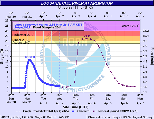
Loosahatchie River at Arlington
Critical Stages
19' - Action
20' - Flood
22' - Moderate
24' - Major
Latest Observation
Updated: 11:15 PM CST 12/14/25
Status: No Flooding
Stage: 0.75 ft
Flow: 0.0911 kcfs
Forecast
| Time | Stage (ft) | Flow (kcfs) |
|---|---|---|
| 6 AM 12/15 | 0.8 | 0.0964 |
| 12 PM 12/15 | 0.8 | 0.0964 |
| 6 PM 12/15 | 0.8 | 0.0964 |
| 12 AM 12/16 | 0.8 | 0.0964 |
| 6 AM 12/16 | 0.8 | 0.0964 |
| 12 PM 12/16 | 0.8 | 0.0964 |
| 6 PM 12/16 | 0.8 | 0.0964 |
| 12 AM 12/17 | 0.8 | 0.0964 |
| 6 AM 12/17 | 0.8 | 0.0964 |
| 12 PM 12/17 | 0.8 | 0.0964 |
| 6 PM 12/17 | 0.8 | 0.0964 |
| 12 AM 12/18 | 0.7 | 0.0858 |
| 6 AM 12/18 | 0.7 | 0.0858 |
| 12 PM 12/18 | 0.7 | 0.0858 |
| 6 PM 12/18 | 0.7 | 0.0858 |
| 12 AM 12/19 | 0.7 | 0.0858 |
| 6 AM 12/19 | 0.7 | 0.0858 |
| Time | Stage (ft) | Flow (kcfs) |
|---|---|---|
| 12:15 AM 12/15 | 0.76 | 0.0922 |
| 12:00 AM 12/15 | 0.75 | 0.0911 |
| 11:45 PM 12/14 | 0.76 | 0.0922 |
| 11:30 PM 12/14 | 0.75 | 0.0911 |
| 11:15 PM 12/14 | 0.75 | 0.0911 |
| 11:00 PM 12/14 | 0.75 | 0.0911 |
| 10:45 PM 12/14 | 0.75 | 0.0911 |
| 10:30 PM 12/14 | 0.76 | 0.0922 |
| 10:15 PM 12/14 | 0.75 | 0.0911 |
| 10:00 PM 12/14 | 0.75 | 0.0911 |
| 9:45 PM 12/14 | 0.75 | 0.0911 |
| 9:30 PM 12/14 | 0.75 | 0.0911 |
| 9:15 PM 12/14 | 0.75 | 0.0911 |
| 9:00 PM 12/14 | 0.75 | 0.0911 |
| 8:45 PM 12/14 | 0.75 | 0.0911 |
| 8:30 PM 12/14 | 0.76 | 0.0922 |
| 8:15 PM 12/14 | 0.76 | 0.0922 |
| 8:00 PM 12/14 | 0.76 | 0.0922 |
| 7:45 PM 12/14 | 0.76 | 0.0922 |
| 7:30 PM 12/14 | 0.76 | 0.0922 |
| 7:15 PM 12/14 | 0.75 | 0.0911 |
| 7:00 PM 12/14 | 0.75 | 0.0911 |
| 6:45 PM 12/14 | 0.75 | 0.0911 |
| 6:30 PM 12/14 | 0.75 | 0.0911 |
| 6:15 PM 12/14 | 0.75 | 0.0911 |
| 6:00 PM 12/14 | 0.75 | 0.0911 |
| 5:45 PM 12/14 | 0.75 | 0.0911 |
| 5:30 PM 12/14 | 0.75 | 0.0911 |
| 5:15 PM 12/14 | 0.75 | 0.0911 |
| 5:00 PM 12/14 | 0.75 | 0.0911 |
26' -
Most of Chaffee Road is inundated.
25.6' -
Highway 70 from the bridge west to Jetway Road is flooded and Highway 70 is partially flooded west to the Inerstate 385 interchange. Many Arlington houses and businesses north of the railroad tracks are flooded. Much of the Arlington Industrial Park is flooding. County Road 205 and Long Road north of Arlington are flooded. Braden Road and Highway 196 are flooded in Fayette County. Brunswick and Brunswick Road are flooding. Dunkin Road is covered south of Millington.
25' -
Brunswick Road is flooded in Brunswick. Lots north of Phillip Drive are flooded.
24' -
Brunswick Road is beginning to flood. Lots north of Phillip Drive and south of Brief Road are being covered.
21' -
Brief Road is flooding.
20' -
Overbank flooding is occurring and field flooding is extensive.
19' -
Stewart Road South begins to flood. Low-lying farm land begins to flood.
| Date | Stage (ft) |
|---|---|
| May 2, 2010 | 25.44 |
| Dec 25, 1987 | 25.27 |
| Nov 29, 2001 | 24.06 |
| Apr 4, 2025 | 23.92 |
| Apr 28, 2011 | 23.87 |
| Mar 2, 1997 | 23.43 |
| Mar 18, 2002 | 23.04 |
| Jun 20, 2025 | 21.13 |
| Mar 10, 1992 | 20.88 |
| May 7, 2003 | 20.52 |
| Feb 16, 2025 | 20.46 |
| Dec 1, 1996 | 20.43 |
| Mar 1, 2021 | 20.37 |
| Dec 29, 2024 | 20.23 |
| Feb 21, 2015 | 20.21 |
| Apr 4, 2008 | 20.15 |
| Feb 5, 2014 | 19.73 |
| Feb 5, 2004 | 19.7 |
| Jul 31, 2009 | 19.2 |
| Jan 23, 2005 | 18.33 |
Data provided by the National Weather Service.