« Back to Spring Mill Pond Rivers
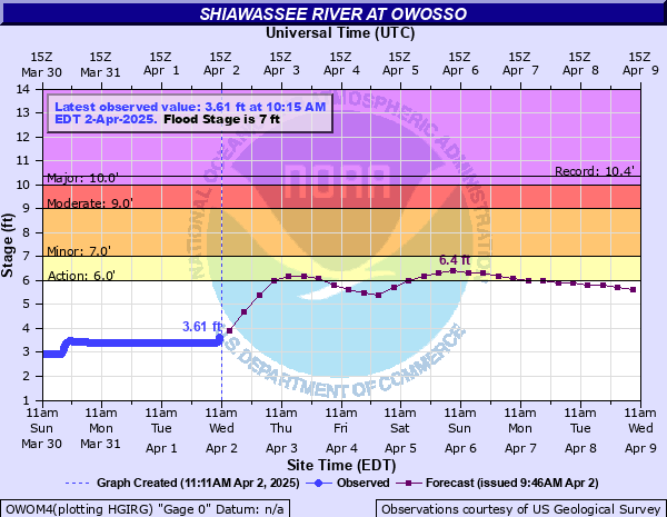
Shiawassee River at Owosso
Critical Stages
6' - Action
7' - Flood
9' - Moderate
10' - Major
Latest Observation
Updated: 10:15 PM EST 12/14/25
Status: No Flooding
Stage: 2.09 ft
Flow: 0.126 kcfs
Forecast
Forecast not available for this location.
| Time | Stage (ft) | Flow (kcfs) |
|---|---|---|
| 10:15 PM 12/14 | 2.09 | 0.126 |
| 10:00 PM 12/14 | 2.09 | 0.126 |
| 9:45 PM 12/14 | 2.09 | 0.126 |
| 9:30 PM 12/14 | 2.1 | 0.128 |
| 9:15 PM 12/14 | 2.1 | 0.128 |
| 9:00 PM 12/14 | 2.1 | 0.128 |
| 8:45 PM 12/14 | 2.1 | 0.128 |
| 8:30 PM 12/14 | 2.11 | 0.13 |
| 8:15 PM 12/14 | 2.11 | 0.13 |
| 8:00 PM 12/14 | 2.11 | 0.13 |
| 7:45 PM 12/14 | 2.11 | 0.13 |
| 7:30 PM 12/14 | 2.11 | 0.13 |
| 7:15 PM 12/14 | 2.11 | 0.13 |
| 7:00 PM 12/14 | 2.12 | 0.133 |
| 6:45 PM 12/14 | 2.12 | 0.133 |
| 6:30 PM 12/14 | 2.12 | 0.133 |
| 6:15 PM 12/14 | 2.13 | 0.135 |
| 6:00 PM 12/14 | 2.13 | 0.135 |
| 5:45 PM 12/14 | 2.13 | 0.135 |
| 5:30 PM 12/14 | 2.13 | 0.135 |
| 5:15 PM 12/14 | 2.13 | 0.135 |
| 5:00 PM 12/14 | 2.13 | 0.135 |
| 4:45 PM 12/14 | 2.13 | 0.135 |
| 4:30 PM 12/14 | 2.13 | 0.135 |
| 4:15 PM 12/14 | 2.13 | 0.135 |
| 4:00 PM 12/14 | 2.13 | 0.135 |
| 3:45 PM 12/14 | 2.13 | 0.135 |
| 3:30 PM 12/14 | 2.13 | 0.135 |
| 3:15 PM 12/14 | 2.13 | 0.135 |
| 3:00 PM 12/14 | 2.13 | 0.135 |
10.3' -
The entire area east of Park Street and as far north as Comstock Street will flood. Many homes and businesses will be surronded by water and experience basement flooding.
9' -
Considerable basement flooding occurs in adjacent residential sections from backed up sewers. The south end of Martin Street, Grover Street and Jerome Avenue flood.
7' -
Flooding begins in residential area along Jerome Avenue east of South Washington Avenue in Owosso.
6' -
Some adjacent lowland floods.
| Date | Stage (ft) |
|---|---|
| Apr 6, 1947 | 10.35 |
| Oct 1, 1981 | 10.3 |
| Mar 20, 1948 | 10.27 |
| Apr 22, 1975 | 9.25 |
| Feb 21, 2018 | 9.1 |
| May 24, 2004 | 9.03 |
| Mar 17, 1942 | 8.74 |
| Apr 7, 2017 | 8.71 |
| Feb 19, 1918 | 8.6 |
| May 15, 2014 | 8.45 |
| Apr 1, 1960 | 8.41 |
| Mar 13, 1982 | 8.39 |
| Apr 19, 2013 | 8.38 |
| Jun 2, 1943 | 8.35 |
| Dec 13, 1972 | 8.32 |
| Mar 29, 1916 | 8.3 |
| Apr 4, 1950 | 8.28 |
| May 14, 1956 | 8.27 |
| Feb 10, 2001 | 8.2 |
| Mar 5, 1976 | 8.17 |
Data provided by the National Weather Service.