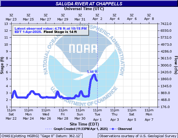
Saluda River at Chappells
Critical Stages
13' - Action
14' - Flood
20' - Moderate
26' - Major
Latest Observation
Updated: 5:15 PM EST 12/15/25
Status: No Flooding
Stage: 2.55 ft
Flow: 0.668 kcfs
Forecast
Forecast not available for this location.
| Time | Stage (ft) | Flow (kcfs) |
|---|---|---|
| 6:15 PM 12/15 | 2.47 | 0.636 |
| 6:00 PM 12/15 | 2.49 | 0.644 |
| 5:45 PM 12/15 | 2.5 | 0.648 |
| 5:30 PM 12/15 | 2.53 | 0.66 |
| 5:15 PM 12/15 | 2.55 | 0.668 |
| 5:00 PM 12/15 | 2.57 | 0.677 |
| 4:45 PM 12/15 | 2.59 | 0.685 |
| 4:30 PM 12/15 | 2.62 | 0.697 |
| 4:15 PM 12/15 | 2.65 | 0.71 |
| 4:00 PM 12/15 | 2.68 | 0.723 |
| 3:45 PM 12/15 | 2.72 | 0.739 |
| 3:30 PM 12/15 | 2.77 | 0.76 |
| 3:15 PM 12/15 | 2.81 | 0.777 |
| 3:00 PM 12/15 | 2.86 | 0.799 |
| 2:45 PM 12/15 | 2.91 | 0.821 |
| 2:30 PM 12/15 | 2.97 | 0.847 |
| 2:15 PM 12/15 | 3.04 | 0.878 |
| 2:00 PM 12/15 | 3.11 | 0.909 |
| 1:45 PM 12/15 | 3.18 | 0.941 |
| 1:30 PM 12/15 | 3.27 | 0.983 |
| 1:15 PM 12/15 | 3.35 | 1.02 |
| 1:00 PM 12/15 | 3.44 | 1.06 |
| 12:45 PM 12/15 | 3.47 | 1.08 |
| 12:30 PM 12/15 | 3.62 | 1.15 |
| 12:15 PM 12/15 | 3.71 | 1.19 |
| 12:00 PM 12/15 | 3.79 | 1.23 |
| 11:45 AM 12/15 | 3.87 | 1.27 |
| 11:30 AM 12/15 | 3.93 | 1.3 |
| 11:15 AM 12/15 | 3.98 | 1.32 |
| 11:00 AM 12/15 | 4.01 | 1.34 |
26' -
Flood water threatens SC Highway 34 one mile southwest of Chappells and SC Highway 39 a quarter mile south of Chappells.
21' -
Extensive flooding occurs. Farmland and river bottomland around and downstream from Chappells become flooded. Much of the Saluda River Campground downstream from Chappells become flooded.
18' -
The Saluda River Campground including the Campground Store downstream from Chappells becomes flooded. Campers should move to higher ground.
16' -
Extensive farmland and river bottomland around and downstream from Chappells become flooded.
14' -
Lowlands around and downstream from Chappells become flooded. Cattle grazing river bottomland should be moved to higher ground.
| Date | Stage (ft) |
|---|---|
| Aug 26, 1908 | 36.7 |
| Oct 2, 1929 | 32.7 |
| Sep 28, 1929 | 32.2 |
| Sep 1, 1888 | 31.6 |
| Aug 17, 1928 | 31.1 |
| Aug 14, 1940 | 29.7 |
| Aug 28, 1995 | 27.22 |
| Sep 28, 2024 | 26.94 |
| Oct 5, 2015 | 26.49 |
| Dec 31, 2015 | 26.23 |
| Mar 16, 1912 | 25 |
| Mar 25, 1952 | 24.68 |
| Feb 8, 2020 | 24.43 |
| Apr 19, 1969 | 24.32 |
| Feb 19, 1990 | 23.08 |
| Mar 21, 2003 | 23 |
| Mar 21, 2003 | 22.96 |
| Feb 5, 1998 | 22.96 |
| Feb 20, 1990 | 22.93 |
| Mar 22, 1942 | 22.82 |
Data provided by the National Weather Service.