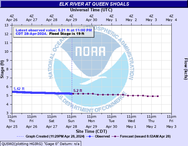
Elk River at Queen Shoals
Critical Stages
17' - Action
19' - Flood
23' - Moderate
29' - Major
Latest Observation
Updated: 3:00 AM EST 12/5/25
Status: No Flooding
Stage: 5.9 ft
Flow: 1.27 kcfs
Forecast
| Time | Stage (ft) | Flow (kcfs) |
|---|---|---|
| 7 AM 12/5 | 6 | 1.37 |
| 1 PM 12/5 | 6 | 1.37 |
| 7 PM 12/5 | 6 | 1.37 |
| 1 AM 12/6 | 5.9 | 1.27 |
| 7 AM 12/6 | 5.9 | 1.27 |
| 1 PM 12/6 | 5.7 | 1.1 |
| 7 PM 12/6 | 5.4 | 0.868 |
| 1 AM 12/7 | 5.3 | 0.801 |
| 7 AM 12/7 | 5.3 | 0.801 |
| 1 PM 12/7 | 5.4 | 0.868 |
| 7 PM 12/7 | 5.4 | 0.868 |
| 1 AM 12/8 | 5.4 | 0.868 |
| 7 AM 12/8 | 5.4 | 0.868 |
| 1 PM 12/8 | 5.4 | 0.868 |
| 7 PM 12/8 | 5.4 | 0.868 |
| 1 AM 12/9 | 5.3 | 0.801 |
| 7 AM 12/9 | 5.2 | 0.737 |
| Time | Stage (ft) | Flow (kcfs) |
|---|---|---|
| 3:00 AM 12/5 | 5.9 | 1.27 |
| 2:45 AM 12/5 | 5.9 | 1.27 |
| 2:30 AM 12/5 | 5.9 | 1.27 |
| 2:15 AM 12/5 | 5.9 | 1.27 |
| 2:00 AM 12/5 | 5.89 | 1.27 |
| 1:45 AM 12/5 | 5.9 | 1.27 |
| 1:30 AM 12/5 | 5.9 | 1.27 |
| 1:15 AM 12/5 | 5.9 | 1.27 |
| 1:00 AM 12/5 | 5.89 | 1.27 |
| 12:45 AM 12/5 | 5.9 | 1.27 |
| 12:30 AM 12/5 | 5.9 | 1.27 |
| 12:15 AM 12/5 | 5.91 | 1.28 |
| 12:00 AM 12/5 | 5.91 | 1.28 |
| 11:45 PM 12/4 | 5.9 | 1.27 |
| 11:30 PM 12/4 | 5.9 | 1.27 |
| 11:15 PM 12/4 | 5.9 | 1.27 |
| 11:00 PM 12/4 | 5.9 | 1.27 |
| 10:45 PM 12/4 | 5.9 | 1.27 |
| 10:30 PM 12/4 | 5.9 | 1.27 |
| 10:15 PM 12/4 | 5.9 | 1.27 |
| 10:00 PM 12/4 | 5.89 | 1.27 |
| 9:45 PM 12/4 | 5.89 | 1.27 |
| 9:30 PM 12/4 | 5.89 | 1.27 |
| 9:15 PM 12/4 | 5.89 | 1.27 |
| 9:00 PM 12/4 | 5.88 | 1.26 |
| 8:45 PM 12/4 | 5.88 | 1.26 |
| 8:30 PM 12/4 | 5.88 | 1.26 |
| 8:15 PM 12/4 | 5.87 | 1.25 |
| 8:00 PM 12/4 | 5.87 | 1.25 |
| 7:45 PM 12/4 | 5.87 | 1.25 |
31' -
In Clendenin, the Columbia Gas transmission area just north of town along WV State Route 4, floods around 31 feet.
30' -
In Clendenin, many homes and businesses above the Big Sandy Creek between WV State Route 4 and the river are inundated. In Barren Creek, much of River Haven Road floods along with several homes between this road and the river. In Queen Shoals, several homes flood along WV State Route 4 0.3 miles above the Queen Road bridge.
29.5' -
In Queen Shoals, row of homes on WV State Route 4 above the Queen Road bridge flood. In Reamer, homes between Brown Street and the river are inundated.
29' -
Major flooding occurs along the entire reach of the Elk River. In Clendenin, most homes and businesses between Maywood Avenue and the river are inundated. In Youngs Bottom, several homes between Robbie Lane and the river flood. In Procious, portions of WV Route 4 and Scenic River Road flood.
28' -
In Corton, the Eastern Gas transmission area located on River Haven Road, floods around 28 feet.
27' -
In Clendenin, many homes and businesses between Maywood Avenue and the river flood. In Procious, homes on both sides of the river begin to flood. In Queen Shoals, low sections of WV State Route 4 approximately 1 mile below the gauge floods. Low sections of WV State Route 4 flood between Barren Creek and Corton.
25' -
In Clendenin, lower portions of Elk Avenue, Virginia Avenue, and Jarrett Street flood. The first floor of businesses adjacent to the river flood.
22' -
In Falling Rock, US Route 119 at the intersection with Jordan Creek Road floods. In Queen Shoals, low spot on Flat Fork Groves Road floods.
20' -
In Clendenin, basements in some businesses adjacent to the river flood. WV State Route 4 between US Route 119 and Beech Street floods. Sections of US Route 119 are inundated due to backwater flooding of Big Sandy Creek.
19' -
In Queen Shoals, the lower floor of the abandoned church opposite side of the river from the gauge floods.
12' -
The North and South Clendenin boat ramp access parking lots flood between 12 and 15 feet.
| Date | Stage (ft) |
|---|---|
| Mar 13, 1918 | 37.2 |
| Jun 24, 2016 | 33.31 |
| Jan 1, 1888 | 32 |
| Jul 5, 1932 | 29.2 |
| Feb 3, 1939 | 26.5 |
| Mar 2, 1997 | 25.36 |
| Mar 15, 1967 | 24.73 |
| Oct 29, 1937 | 23.9 |
| Jan 30, 1911 | 23.5 |
| Nov 19, 2003 | 23.34 |
| Jan 30, 1957 | 23.03 |
| Mar 1, 2021 | 22.83 |
| Nov 16, 1913 | 22.8 |
| Oct 3, 1929 | 22.34 |
| Mar 27, 1913 | 22 |
| Feb 1, 1951 | 21.9 |
| Mar 25, 1936 | 21.5 |
| Jan 8, 1913 | 21.5 |
| Dec 3, 1991 | 21.22 |
| Feb 17, 2003 | 21.09 |
Data provided by the National Weather Service.