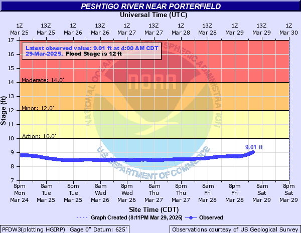
Peshtigo River near Porterfield
Critical Stages
10' - Action
12' - Flood
14' - Moderate
17' - Major
Latest Observation
Updated: 6:00 AM CST 12/5/25
Status: No Flooding
Stage: 7.98 ft
Flow: 0.486 kcfs
Forecast
Forecast not available for this location.
| Time | Stage (ft) | Flow (kcfs) |
|---|---|---|
| 6:00 AM 12/5 | 7.98 | 0.486 |
| 5:55 AM 12/5 | 7.98 | 0.486 |
| 5:50 AM 12/5 | 7.98 | 0.486 |
| 5:45 AM 12/5 | 7.98 | 0.486 |
| 5:40 AM 12/5 | 7.98 | 0.486 |
| 5:35 AM 12/5 | 7.98 | 0.486 |
| 5:30 AM 12/5 | 7.98 | 0.486 |
| 5:25 AM 12/5 | 7.98 | 0.486 |
| 5:20 AM 12/5 | 7.98 | 0.486 |
| 5:15 AM 12/5 | 7.98 | 0.486 |
| 5:10 AM 12/5 | 7.98 | 0.486 |
| 5:05 AM 12/5 | 7.98 | 0.486 |
| 5:00 AM 12/5 | 7.98 | 0.486 |
| 4:55 AM 12/5 | 7.98 | 0.486 |
| 4:50 AM 12/5 | 7.98 | 0.486 |
| 3:00 AM 12/5 | 7.95 | 0.461 |
| 2:55 AM 12/5 | 7.96 | 0.469 |
| 2:50 AM 12/5 | 7.95 | 0.461 |
| 2:45 AM 12/5 | 7.96 | 0.469 |
| 2:40 AM 12/5 | 7.95 | 0.461 |
| 2:35 AM 12/5 | 7.96 | 0.469 |
| 2:30 AM 12/5 | 7.95 | 0.461 |
| 2:25 AM 12/5 | 7.96 | 0.469 |
| 2:20 AM 12/5 | 7.95 | 0.461 |
| 2:15 AM 12/5 | 7.95 | 0.461 |
| 2:10 AM 12/5 | 7.94 | 0.453 |
| 2:05 AM 12/5 | 7.95 | 0.461 |
| 2:00 AM 12/5 | 7.95 | 0.461 |
| 1:55 AM 12/5 | 7.95 | 0.461 |
| 1:50 AM 12/5 | 7.95 | 0.461 |
17' -
Up to 3 feet of floodwaters are surrounding structures adjacent to the river.
15' -
Floodwaters are surrounding structures along the river.
14' -
There is widespread flooding of lowland and agricultural land. Upstream there is flooding of lowland near the town of Crivitz.
12' -
Area boat docks begin flooding and there is widespread flooding of wooded lowland.
10' -
There is minor flooding of wooded lowland.
| Date | Stage (ft) |
|---|---|
| Mar 30, 2004 | 13.87 |
| Apr 20, 2019 | 13.44 |
| Apr 18, 2023 | 12.82 |
| Apr 9, 2014 | 12.75 |
| Mar 30, 2020 | 12.41 |
| Jun 16, 2017 | 12.4 |
| Mar 25, 2022 | 12.32 |
| Jun 25, 2002 | 12.08 |
| Mar 18, 2016 | 11.78 |
| Apr 18, 2003 | 11.42 |
| Apr 18, 2002 | 11.2 |
| Jun 24, 2011 | 11.1 |
| Sep 24, 2010 | 11.03 |
| Mar 11, 2021 | 10.6 |
Data provided by the National Weather Service.