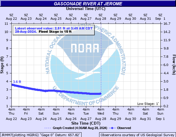
Gasconade River at Jerome
Critical Stages
13' - Action
15' - Flood
25' - Moderate
30' - Major
Latest Observation
Updated: 8:45 AM CST 12/6/25
Status: No Flooding
Stage: 1.95 ft
Flow: 0.907 kcfs
Forecast
Forecast not available for this location.
| Time | Stage (ft) | Flow (kcfs) |
|---|---|---|
| 8:45 AM 12/6 | 1.95 | 0.907 |
| 8:30 AM 12/6 | 1.95 | 0.907 |
| 8:15 AM 12/6 | 1.95 | 0.907 |
| 8:00 AM 12/6 | 1.95 | 0.907 |
| 7:45 AM 12/6 | 1.95 | 0.907 |
| 7:30 AM 12/6 | 1.95 | 0.907 |
| 7:15 AM 12/6 | 1.95 | 0.907 |
| 7:00 AM 12/6 | 1.95 | 0.907 |
| 6:45 AM 12/6 | 1.95 | 0.907 |
| 6:30 AM 12/6 | 1.95 | 0.907 |
| 6:15 AM 12/6 | 1.95 | 0.907 |
| 6:00 AM 12/6 | 1.96 | 0.913 |
| 5:45 AM 12/6 | 1.95 | 0.907 |
| 5:30 AM 12/6 | 1.95 | 0.907 |
| 5:15 AM 12/6 | 1.95 | 0.907 |
| 5:00 AM 12/6 | 1.96 | 0.913 |
| 4:45 AM 12/6 | 1.95 | 0.907 |
| 4:30 AM 12/6 | 1.95 | 0.907 |
| 4:15 AM 12/6 | 1.96 | 0.913 |
| 4:00 AM 12/6 | 1.95 | 0.907 |
| 3:45 AM 12/6 | 1.96 | 0.913 |
| 3:30 AM 12/6 | 1.96 | 0.913 |
| 3:15 AM 12/6 | 1.96 | 0.913 |
| 3:00 AM 12/6 | 1.96 | 0.913 |
| 2:45 AM 12/6 | 1.96 | 0.913 |
| 2:30 AM 12/6 | 1.96 | 0.913 |
| 2:15 AM 12/6 | 1.96 | 0.913 |
| 2:00 AM 12/6 | 1.96 | 0.913 |
| 1:45 AM 12/6 | 1.96 | 0.913 |
| 1:30 AM 12/6 | 1.96 | 0.913 |
35.06' -
this is the record level reached on May 1, 2017. Water reaches the residences near the gage site.
31.92' -
this is the crest level from December 29, 2015.
31.81' -
this is the level reached on August 7, 2013. The Missouri Department of Conservation area immediately downstream was under approximately 10 feet of water.
31.52' -
approximate level of the 1 percent chance flood.
31.34' -
this is the crest reached on December 5 1982.
30' -
major flooding begins at the gage site. Flood waters impact residences near the gage site. Interstate 44 floods between mile markers 172 and 186.
29.3' -
flooding occurs on Interstate 44 and will be closed between mile markers 173.6 and 173.8.
29' -
water begins to flood Interstate 44.
27' -
flood waters reach the SL and SF Railroad main line near Jerome.
25' -
moderate flood stage. Flood waters inundate the lower backyard area of residences near the gage site.
23' -
back water from the Little Piney Creek begins to affect river stages on the Gasconade river at Jerome.
20.5' -
flood waters begin to impact the steel residential fence line at the gage site.
19' -
flood waters begin to overflow the left bank at the gage site.
18.5' -
flood waters affect low lying residential areas.
15' -
minor flooding occurs near the gage site. Flood waters reach the lower edge of the concrete building where the gage equipment is located.
| Date | Stage (ft) |
|---|---|
| May 1, 2017 | 35.06 |
| Dec 29, 2015 | 31.92 |
| Aug 7, 2013 | 31.81 |
| Dec 5, 1982 | 31.34 |
| Mar 20, 2008 | 30.43 |
| Sep 27, 1993 | 29.6 |
| Jan 6, 1897 | 29 |
| Aug 22, 1915 | 28.6 |
| Nov 6, 2024 | 28.01 |
| Apr 15, 1945 | 27.7 |
| Apr 28, 2011 | 26.58 |
| Aug 14, 1946 | 26.55 |
| Feb 25, 1985 | 26.01 |
| Mar 13, 1935 | 25.8 |
| Dec 28, 1942 | 25.63 |
| May 10, 1961 | 23.9 |
| Apr 27, 1947 | 23.53 |
| May 16, 1933 | 23.4 |
| May 24, 1957 | 23.12 |
| Nov 16, 1993 | 22.87 |
Data provided by the National Weather Service.