Solomon River near Glasco
Critical Stages
17' - Action
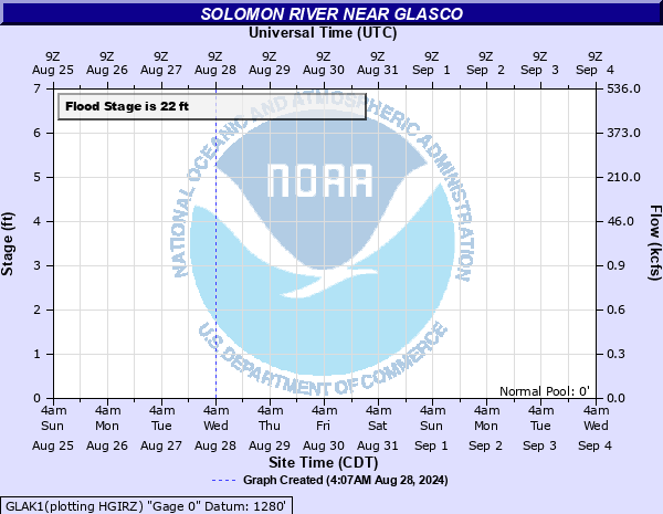
22' - Flood
25' - Moderate
34' - Major
Latest Observation
Updated: 6:09 PM LMT 12/31/00
Status: Obs Not Current
Stage: -999 ft
Flow: -999 kcfs
Forecast
Forecast not available for this location.
Observation history not available.
40' -
All except the northeast part of the town of Glasco is flooded.
39' -
The Union Pacific Railroad tracks flood. Flood waters cover the south and west sections of Glasco.
34' -
Haynes Street about a half mile south of Glasco floods.
25' -
County Road 763 floods west of Glasco near the west end bridge.
22' -
Minor lowland flooding occurs along the river from the Cloud and Mitchell County line to Niles.
| Date | Stage (ft) |
|---|---|
| Jul 1, 1951 | 40.2 |
| Jun 1, 1941 | 37.4 |
| Jun 12, 1951 | 37.4 |
| May 12, 1935 | 36.9 |
| May 25, 1961 | 36.22 |
| Jun 30, 1957 | 36.1 |
| Sep 14, 1961 | 35.2 |
| Jun 9, 1961 | 32.7 |
| Sep 12, 2003 | 32.56 |
| Mar 29, 1960 | 31.97 |
| Jul 22, 1993 | 30.85 |
| Oct 11, 1973 | 29.7 |
| Jun 27, 2020 | 27.84 |
| Jun 3, 2011 | 27.75 |
| May 27, 2011 | 26.85 |
| Jun 5, 1961 | 26.23 |
| May 24, 1999 | 25.92 |
| May 20, 2017 | 25.51 |
| Sep 28, 1973 | 25.5 |
| Aug 18, 1961 | 25.45 |
Data provided by the National Weather Service.