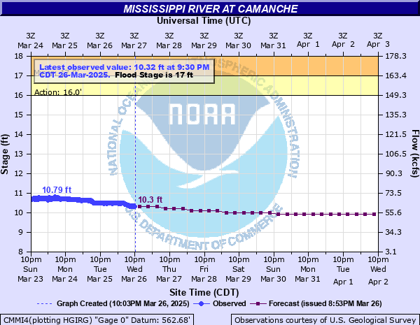
Mississippi River at Camanche
Critical Stages
16' - Action
17' - Flood
18.5' - Moderate
20.5' - Major
Latest Observation
Updated: 2:30 PM CST 12/15/25
Status: No Flooding
Stage: -2.7 ft
Flow: -999 kcfs
Forecast
| Time | Stage (ft) | Flow (kcfs) |
|---|---|---|
| 6 PM 12/15 | 8.8 | 28.1 |
| 12 AM 12/16 | 8.8 | 28.1 |
| 6 AM 12/16 | 8.8 | 28.1 |
| 12 PM 12/16 | 8.8 | 28.1 |
| 6 PM 12/16 | 8.8 | 28.1 |
| 12 AM 12/17 | 8.8 | 28.1 |
| 6 AM 12/17 | 8.8 | 28.1 |
| 12 PM 12/17 | 8.8 | 28.1 |
| 6 PM 12/17 | 8.8 | 28.1 |
| 12 AM 12/18 | 8.8 | 28.1 |
| 6 AM 12/18 | 8.8 | 28.1 |
| 12 PM 12/18 | 8.8 | 28.1 |
| 6 PM 12/18 | 8.8 | 28.1 |
| 12 AM 12/19 | 8.8 | 28.1 |
| 6 AM 12/19 | 8.8 | 28.1 |
| 12 PM 12/19 | 8.8 | 28.1 |
| 6 PM 12/19 | 8.8 | 28.1 |
| 12 AM 12/20 | 8.8 | 28.1 |
| 6 AM 12/20 | 8.8 | 28.1 |
| 12 PM 12/20 | 8.8 | 28.1 |
| 6 PM 12/20 | 8.8 | 28.1 |
| 12 AM 12/21 | 8.8 | 28.1 |
| 6 AM 12/21 | 8.8 | 28.1 |
| 12 PM 12/21 | 8.8 | 28.1 |
| 6 PM 12/21 | 8.8 | 28.1 |
| 12 AM 12/22 | 8.8 | 28.1 |
| 6 AM 12/22 | 8.8 | 28.1 |
| Time | Stage (ft) | Flow (kcfs) |
|---|---|---|
| 2:30 PM 12/15 | -2.7 | -999 |
| 2:20 PM 12/15 | -2.68 | -999 |
| 2:10 PM 12/15 | -2.65 | -999 |
| 2:00 PM 12/15 | -2.6 | -999 |
| 1:50 PM 12/15 | -2.5 | -999 |
| 1:40 PM 12/15 | -2.29 | -999 |
| 1:30 PM 12/15 | -9999 | -999 |
| 1:20 PM 12/15 | -9999 | -999 |
| 1:10 PM 12/15 | -9999 | -999 |
| 1:00 PM 12/15 | 9.69 | 49.6 |
| 12:50 PM 12/15 | -9999 | -999 |
| 12:40 PM 12/15 | -9999 | -999 |
| 11:10 AM 12/15 | -9999 | -999 |
| 11:00 AM 12/15 | -9999 | -999 |
| 10:50 AM 12/15 | -9999 | -999 |
| 10:40 AM 12/15 | -9999 | -999 |
| 10:30 AM 12/15 | -9999 | -999 |
| 10:20 AM 12/15 | -9999 | -999 |
| 10:10 AM 12/15 | -9999 | -999 |
| 10:00 AM 12/15 | -9999 | -999 |
| 9:50 AM 12/15 | -9999 | -999 |
| 9:40 AM 12/15 | -9999 | -999 |
| 9:30 AM 12/15 | -9999 | -999 |
| 9:20 AM 12/15 | -9999 | -999 |
| 9:10 AM 12/15 | -9999 | -999 |
| 9:00 AM 12/15 | -9999 | -999 |
| 8:50 AM 12/15 | -9999 | -999 |
| 8:40 AM 12/15 | 8.81 | 28.4 |
| 8:30 AM 12/15 | 8.84 | 29.4 |
| 8:20 AM 12/15 | 8.76 | 25.4 |
30' -
Water reaches the top of the flood wall which protects almost all of Clinton. Water also reaches the top of the Fulton flood wall.
28' -
Water overtops the Meredosia levee.
24' -
Water affects the grain elevator on Illinois Highway 84 at Albany.
23' -
Water affects U.S. Highway 67 at the mouth of the Wapsipinicon River at Folletts.
22.8' -
Water reaches the bottom of the railroad bridge.
22' -
Water affects houses and commercial businesses on the Clinton riverfront between 27th Avenue and 36th Avenue North. In Fulton, water affects houses north of the levee north of 3rd Avenue.
21.4' -
Water affects Illinois Highway 84 near Albany.
21' -
Water affects many homes in Camanche and is at the base of the Camanche water treatment plant.
20' -
Water affects South Washington Boulevard in Camanche. Water also affects the Camanche Marina. Water also affects several homes in Albany.
19.5' -
Water affects marina facilities at River View Park in Clinton.
19' -
Water affects homes in the Camanche Swan Slough area, the boat ramp, and 9th Street by Hazel Lake. Water affects Union Pacific Railroad maintenance buildings in Clinton.
17' -
Water affects low-lying residences at Albany.
16.5' -
Water affects the city owned baseball stadium in Clinton.
| Date | Stage (ft) |
|---|---|
| Apr 28, 1965 | 24.65 |
| Apr 24, 2001 | 23.62 |
| Apr 23, 2001 | 23.55 |
| Jul 8, 1993 | 22.98 |
| Jul 7, 1993 | 22.87 |
| Apr 30, 2023 | 22.86 |
| May 1, 2019 | 22.77 |
| Apr 30, 2019 | 22.65 |
| Apr 21, 2011 | 21.93 |
| Apr 8, 2019 | 21.91 |
| Apr 20, 2011 | 21.8 |
| Apr 19, 1997 | 21.58 |
| Apr 25, 1969 | 21.52 |
| Jul 9, 2024 | 21.42 |
| Jun 25, 1880 | 21.4 |
| Apr 27, 1952 | 21.24 |
| Jun 1, 2019 | 21.23 |
| Jun 15, 2008 | 21.16 |
| Apr 26, 1951 | 21 |
| Jul 3, 2014 | 20.92 |
Data provided by the National Weather Service.