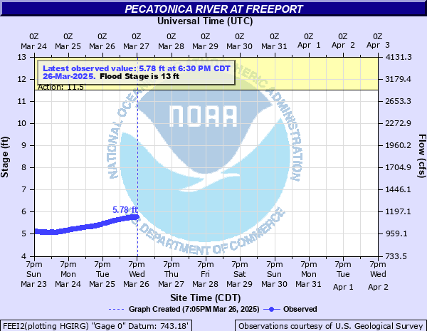
Pecatonica River at Freeport
Critical Stages
11.5' - Action
13' - Flood
14' - Moderate
16' - Major
Latest Observation
Updated: 1:30 PM CST 12/15/25
Status: No Flooding
Stage: 3.89 ft
Flow: 0.645 kcfs
Forecast
Forecast not available for this location.
| Time | Stage (ft) | Flow (kcfs) |
|---|---|---|
| 2:30 PM 12/15 | 3.87 | 0.641 |
| 2:15 PM 12/15 | 3.88 | 0.643 |
| 2:00 PM 12/15 | 3.88 | 0.643 |
| 1:45 PM 12/15 | 3.89 | 0.645 |
| 1:30 PM 12/15 | 3.89 | 0.645 |
| 1:15 PM 12/15 | 3.89 | 0.645 |
| 1:00 PM 12/15 | 3.89 | 0.645 |
| 12:45 PM 12/15 | 3.9 | 0.647 |
| 12:30 PM 12/15 | 3.9 | 0.647 |
| 12:15 PM 12/15 | 3.9 | 0.647 |
| 12:00 PM 12/15 | 3.91 | 0.649 |
| 11:45 AM 12/15 | 3.92 | 0.651 |
| 11:30 AM 12/15 | 3.91 | 0.649 |
| 11:15 AM 12/15 | 3.92 | 0.651 |
| 11:00 AM 12/15 | 3.92 | 0.651 |
| 10:45 AM 12/15 | 3.92 | 0.651 |
| 10:30 AM 12/15 | 3.92 | 0.651 |
| 10:15 AM 12/15 | 3.92 | 0.651 |
| 10:00 AM 12/15 | 3.91 | 0.649 |
| 9:45 AM 12/15 | 3.92 | 0.651 |
| 9:30 AM 12/15 | 3.91 | 0.649 |
| 9:15 AM 12/15 | 3.92 | 0.651 |
| 9:00 AM 12/15 | 3.92 | 0.651 |
| 8:45 AM 12/15 | 3.92 | 0.651 |
| 8:30 AM 12/15 | 3.92 | 0.651 |
| 8:15 AM 12/15 | 3.92 | 0.651 |
| 8:00 AM 12/15 | 3.91 | 0.649 |
| 7:45 AM 12/15 | 3.91 | 0.649 |
| 7:30 AM 12/15 | 3.92 | 0.651 |
| 7:15 AM 12/15 | 3.92 | 0.651 |
21.5' -
Water reaches the bottom of the Illinois Highway 26 bridge deck in Freeport.
20' -
Water reaches the bottom of the Stephenson Street bridge deck.
19' -
Water affects businesses west of the Stephenson Street bridge.
17' -
Water affects the parking lots of several businesses near the Stephenson Street bridge.
16.5' -
Water surrounds Taylor Park School and affects Illinois Highway 75 east of Freeport.
16' -
Major Flood Stage. Water affects parking lots of businesses east of the Stephenson Street bridge and most streets north and south of Illinois Highway 75 are closed. Illinois Highway 75 is also closed.
15.5' -
Numerous streets are closed north and south of Illinois Highway 75 and water enters the first floor level of a few homes. Water also begins to enter Taylor Park. Businesses along Van Buren Street north of the Pecatonica River are directly affected by water.
15' -
Some street closures begin north and south of Illinois Highway 75 and water affects many back yards in Freeport east of the Pecatonica River. Water begins to reach Illinois Highway 75 at the southeast corner of Taylor Park.
14' -
Moderate Flood Stage. Minor street flooding begins in Freeport and water affects a few back yards east of the Pecatonica River.
13' -
Flood Stage. Water affects low lying sections of Freeport mainly east of the Pecatonica River.
11' -
Some agricultural flooding occurs north of Freeport.
| Date | Stage (ft) |
|---|---|
| Mar 16, 1929 | 19.76 |
| Mar 28, 1916 | 19.4 |
| Feb 25, 1922 | 18.82 |
| Sep 16, 1914 | 18.45 |
| Apr 6, 1923 | 18.36 |
| Mar 16, 1919 | 17.6 |
| Apr 3, 1933 | 17.41 |
| Mar 17, 2019 | 17.27 |
| Feb 27, 1915 | 17.27 |
| Jul 3, 1969 | 17.16 |
| Mar 25, 1975 | 17.13 |
| Mar 8, 1937 | 16.98 |
| Apr 5, 1959 | 16.9 |
| Mar 16, 1928 | 16.77 |
| Feb 9, 1927 | 16.74 |
| Jul 11, 1993 | 16.61 |
| Mar 1, 1948 | 16.41 |
| Feb 22, 1997 | 16.4 |
| Feb 15, 1918 | 16.38 |
| Apr 2, 1960 | 16.35 |
Data provided by the National Weather Service.