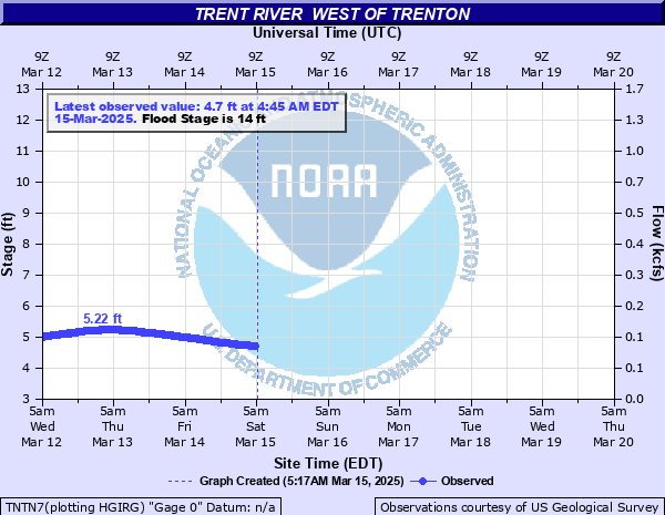
Trent River West of Trenton
Critical Stages
13.5' - Action
14' - Flood
17' - Moderate
20' - Major
Latest Observation
Updated: 12:45 AM EST 12/15/25
Status: No Flooding
Stage: 3.54 ft
Flow: 0.0494 kcfs
Forecast
Forecast not available for this location.
| Time | Stage (ft) | Flow (kcfs) |
|---|---|---|
| 12:45 AM 12/15 | 3.54 | 0.0494 |
| 12:30 AM 12/15 | 3.54 | 0.0494 |
| 12:15 AM 12/15 | 3.53 | 0.049 |
| 12:00 AM 12/15 | 3.53 | 0.049 |
| 11:45 PM 12/14 | 3.53 | 0.049 |
| 11:30 PM 12/14 | 3.53 | 0.049 |
| 11:15 PM 12/14 | 3.53 | 0.049 |
| 11:00 PM 12/14 | 3.52 | 0.0486 |
| 10:45 PM 12/14 | 3.52 | 0.0486 |
| 10:30 PM 12/14 | 3.52 | 0.0486 |
| 10:15 PM 12/14 | 3.53 | 0.049 |
| 10:00 PM 12/14 | 3.52 | 0.0486 |
| 9:45 PM 12/14 | 3.52 | 0.0486 |
| 9:30 PM 12/14 | 3.51 | 0.0482 |
| 9:15 PM 12/14 | 3.52 | 0.0486 |
| 9:00 PM 12/14 | 3.51 | 0.0482 |
| 8:45 PM 12/14 | 3.51 | 0.0482 |
| 8:30 PM 12/14 | 3.51 | 0.0482 |
| 8:15 PM 12/14 | 3.52 | 0.0486 |
| 8:00 PM 12/14 | 3.51 | 0.0482 |
| 7:45 PM 12/14 | 3.51 | 0.0482 |
| 7:30 PM 12/14 | 3.52 | 0.0486 |
| 7:15 PM 12/14 | 3.52 | 0.0486 |
| 7:00 PM 12/14 | 3.52 | 0.0486 |
| 6:45 PM 12/14 | 3.52 | 0.0486 |
| 6:30 PM 12/14 | 3.52 | 0.0486 |
| 6:15 PM 12/14 | 3.52 | 0.0486 |
| 6:00 PM 12/14 | 3.52 | 0.0486 |
| 5:45 PM 12/14 | 3.52 | 0.0486 |
| 5:30 PM 12/14 | 3.52 | 0.0486 |
24' -
Devastating flooding across western Jones County. Numerous homes inundated by floodwaters, and travel near the river or its tributaries is impossible. This is comparable to the flood from Hurricane Florence.
20' -
Water threatens Highway 58 bridge west of Trenton. Most roads that cross the river west of Trenton are inundated. Numerous homes and businesses in the town of Trenton are flooded. Many areas west of Trenton inundated. Water threatens homes on and near Planatation Road, with some homes surrounded by floodwaters.
17' -
Water overflows the Free Bridge on Chinquapin Chapel Road along with several homes on Plantation Road. Water inundates low spots near the bridge on HWY 58 and Chinquapin Chapel Road. Middle Road is flooded north of Thigpen Lane, and some homes on Thigpen Lane are cut off.
14' -
Farmland and fields are flooded along the river. Water inundates the Trent River Campground.
13.5' -
Some homes near the river near Free Bridge Road are threatened.
| Date | Stage (ft) |
|---|---|
| Sep 16, 2018 | 24.24 |
| Sep 17, 1999 | 22.33 |
| Oct 10, 2016 | 18.48 |
| Sep 21, 1995 | 17.84 |
| Sep 3, 2006 | 17.66 |
| Sep 1, 1928 | 17.3 |
| Aug 10, 2024 | 16.69 |
| Nov 24, 2006 | 16.64 |
| Oct 2, 2010 | 16.22 |
| Aug 19, 1992 | 15.4 |
| Sep 19, 2024 | 15.18 |
| Nov 15, 2020 | 15.18 |
| Aug 17, 2004 | 15.12 |
| Jul 27, 2024 | 15.07 |
| Feb 20, 1998 | 14.76 |
| Jul 16, 2003 | 14.7 |
| Apr 27, 2017 | 14.3 |
| Feb 8, 2010 | 14.25 |
| Mar 4, 1994 | 14.19 |
| Aug 27, 2012 | 12.69 |
Data provided by the National Weather Service.