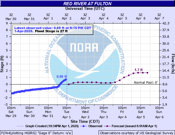
Red River at Fulton
Critical Stages
25' - Action
27' - Flood
30' - Moderate
32.5' - Major
Latest Observation
Updated: 9:15 PM CST 12/14/25
Status: No Flooding
Stage: -2.1 ft
Flow: -999 kcfs
Forecast
| Time | Stage (ft) | Flow (kcfs) |
|---|---|---|
| 12 AM 12/15 | -2.1 | -999 |
| 6 AM 12/15 | -2.1 | -999 |
| 12 PM 12/15 | -2.1 | -999 |
| 6 PM 12/15 | -2.1 | -999 |
| 12 AM 12/16 | -2.2 | -999 |
| 6 AM 12/16 | -2.2 | -999 |
| 12 PM 12/16 | -2.2 | -999 |
| 6 PM 12/16 | -2.2 | -999 |
| 12 AM 12/17 | -2.2 | -999 |
| 6 AM 12/17 | -2.2 | -999 |
| 12 PM 12/17 | -2.2 | -999 |
| 6 PM 12/17 | -2.2 | -999 |
| 12 AM 12/18 | -2.3 | -999 |
| 6 AM 12/18 | -2.3 | -999 |
| 12 PM 12/18 | -2.3 | -999 |
| 6 PM 12/18 | -2.3 | -999 |
| 12 AM 12/19 | -2.3 | -999 |
| 6 AM 12/19 | -2.3 | -999 |
| Time | Stage (ft) | Flow (kcfs) |
|---|---|---|
| 9:15 PM 12/14 | -2.1 | -999 |
| 9:00 PM 12/14 | -2.1 | -999 |
| 8:45 PM 12/14 | -2.1 | -999 |
| 8:30 PM 12/14 | -2.1 | -999 |
| 8:15 PM 12/14 | -2.1 | -999 |
| 8:00 PM 12/14 | -2.1 | -999 |
| 7:45 PM 12/14 | -2.1 | -999 |
| 7:30 PM 12/14 | -2.1 | -999 |
| 7:15 PM 12/14 | -2.1 | -999 |
| 7:00 PM 12/14 | -2.1 | -999 |
| 6:45 PM 12/14 | -2.1 | -999 |
| 6:30 PM 12/14 | -2.1 | -999 |
| 6:15 PM 12/14 | -2.1 | -999 |
| 6:00 PM 12/14 | -2.1 | -999 |
| 5:45 PM 12/14 | -2.1 | -999 |
| 5:30 PM 12/14 | -2.1 | -999 |
| 5:15 PM 12/14 | -2.1 | -999 |
| 5:00 PM 12/14 | -2.1 | -999 |
| 4:45 PM 12/14 | -2.1 | -999 |
| 4:30 PM 12/14 | -2.1 | -999 |
| 4:15 PM 12/14 | -2.1 | -999 |
| 4:00 PM 12/14 | -2.1 | -999 |
| 3:45 PM 12/14 | -2.1 | -999 |
| 3:30 PM 12/14 | -2.1 | -999 |
| 3:15 PM 12/14 | -2.1 | -999 |
| 3:00 PM 12/14 | -2.1 | -999 |
| 2:45 PM 12/14 | -2.1 | -999 |
| 2:30 PM 12/14 | -2.09 | -999 |
| 2:15 PM 12/14 | -2.09 | -999 |
| 2:00 PM 12/14 | -2.1 | -999 |
37.5' -
Record flooding with tens of thousands acres inundated. The town of Fulton is flooded and evacuated at this point.
36.5' -
Overflow and topping of levees both upstream and downstream from Fulton takes place.
36' -
U.S. highway 67 is flooded and closed at Fulton. Thousands of acres of farmland are flooded.
32' -
Farmers and ranchers highly advised to evacuate cattle and machinery to higher ground in the Little River valley below Millwood Lake to the confluence of the Little and Red rivers.
30' -
Considerable lowland flooding will take place. Ranchers advised to evacuate livestock and equipment away from the river. Ranchers should move cattle and equipment in the Little River area from below Millwood Lake to its confluence with the Red River just west of Fulton.
29' -
Lowland flooding will continue to decrease and end between the levees.
28' -
Considerable flooding will increase in the area between the levees. Expect backwater flooding from the Red River up through the Yellow Creek tributary to McNab, Arkansas.
27' -
Slight overflow begins in the area between the levees at Fulton but this flooding is considered minor at this point.
| Date | Stage (ft) |
|---|---|
| Apr 2, 1945 | 37.4 |
| Feb 24, 1938 | 36.4 |
| Jul 17, 1876 | 35.8 |
| Apr 24, 1927 | 35 |
| May 23, 1892 | 34.9 |
| Jun 24, 1935 | 34.8 |
| May 12, 1990 | 34.3 |
| May 26, 1935 | 34.1 |
| May 3, 1890 | 34 |
| Jun 2, 1908 | 33.95 |
| May 2, 1915 | 33.94 |
| May 19, 1920 | 33.7 |
| May 2, 1942 | 33.3 |
| Mar 24, 1894 | 33 |
| Dec 12, 1913 | 32.8 |
| May 22, 1930 | 32.5 |
| Nov 30, 1902 | 32.2 |
| Jun 5, 2015 | 32.12 |
| Jan 31, 1949 | 32.03 |
| Feb 4, 1916 | 31.95 |
Data provided by the National Weather Service.