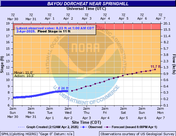
Bayou Dorcheat near Springhill
Critical Stages
10.5' - Action
11' - Flood
18' - Moderate
21' - Major
Latest Observation
Updated: 9:00 PM CST 12/14/25
Status: No Flooding
Stage: 5.87 ft
Flow: 0.0733 kcfs
Forecast
Forecast not available for this location.
| Time | Stage (ft) | Flow (kcfs) |
|---|---|---|
| 10:00 PM 12/14 | 5.86 | 0.0726 |
| 9:45 PM 12/14 | 5.86 | 0.0726 |
| 9:30 PM 12/14 | 5.87 | 0.0733 |
| 9:15 PM 12/14 | 5.87 | 0.0733 |
| 9:00 PM 12/14 | 5.87 | 0.0733 |
| 8:45 PM 12/14 | 5.87 | 0.0733 |
| 8:30 PM 12/14 | 5.88 | 0.0741 |
| 8:15 PM 12/14 | 5.88 | 0.0741 |
| 8:00 PM 12/14 | 5.88 | 0.0741 |
| 7:45 PM 12/14 | 5.88 | 0.0741 |
| 7:30 PM 12/14 | 5.88 | 0.0741 |
| 7:15 PM 12/14 | 5.88 | 0.0741 |
| 7:00 PM 12/14 | 5.88 | 0.0741 |
| 6:45 PM 12/14 | 5.89 | 0.0748 |
| 6:30 PM 12/14 | 5.89 | 0.0748 |
| 6:15 PM 12/14 | 5.89 | 0.0748 |
| 6:00 PM 12/14 | 5.89 | 0.0748 |
| 5:45 PM 12/14 | 5.9 | 0.0755 |
| 5:30 PM 12/14 | 5.9 | 0.0755 |
| 5:15 PM 12/14 | 5.9 | 0.0755 |
| 5:00 PM 12/14 | 5.9 | 0.0755 |
| 4:45 PM 12/14 | 5.9 | 0.0755 |
| 4:30 PM 12/14 | 5.9 | 0.0755 |
| 4:15 PM 12/14 | 5.9 | 0.0755 |
| 4:00 PM 12/14 | 5.91 | 0.0763 |
| 3:45 PM 12/14 | 5.91 | 0.0763 |
| 3:30 PM 12/14 | 5.91 | 0.0763 |
| 3:15 PM 12/14 | 5.91 | 0.0763 |
| 3:00 PM 12/14 | 5.91 | 0.0763 |
| 2:45 PM 12/14 | 5.92 | 0.077 |
21' -
Expect extensive flooding with some homes downstream to near Shangaloo and Leton, Louisiana to be flooded. Homeowners in flood prone areas along Bayou Dorcheat should rush preparations to completion for a major flood event.
18' -
Expect extensive lowland flooding of forestry resources.
13' -
Minor lowland flooding of private boat ramps. Move livestock to higher ground.
11' -
Expect minor lowland flooding.
| Date | Stage (ft) |
|---|---|
| Apr 28, 1958 | 22.79 |
| Apr 6, 1997 | 21.97 |
| Mar 11, 2016 | 21.2 |
| Jun 10, 1974 | 20.81 |
| May 10, 1974 | 20.81 |
| Oct 31, 2009 | 20.69 |
| Oct 16, 2009 | 20.5 |
| Mar 10, 1990 | 19.56 |
| Dec 21, 2001 | 19.5 |
| Apr 30, 1991 | 18.63 |
| Mar 2, 2021 | 18.48 |
| Apr 9, 2019 | 18.39 |
| Apr 24, 1974 | 18.35 |
| Apr 26, 1973 | 17.68 |
| Feb 25, 2018 | 17.64 |
| May 3, 1966 | 17.27 |
| Mar 2, 2001 | 17.2 |
| Feb 4, 1975 | 17.07 |
| Feb 4, 1990 | 17.05 |
| Mar 14, 2015 | 17 |
Data provided by the National Weather Service.