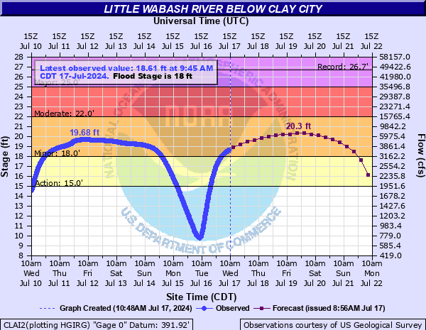
Little Wabash River below Clay City
Critical Stages
15' - Action
18' - Flood
22' - Moderate
25' - Major
Latest Observation
Updated: 11:45 AM CST 12/16/25
Status: No Flooding
Stage: 4.39 ft
Flow: 0.0371 kcfs
Forecast
Forecast not available for this location.
| Time | Stage (ft) | Flow (kcfs) |
|---|---|---|
| 11:45 AM 12/16 | 4.39 | 0.0371 |
| 11:30 AM 12/16 | 4.39 | 0.0371 |
| 11:15 AM 12/16 | 4.39 | 0.0371 |
| 11:00 AM 12/16 | 4.4 | 0.0377 |
| 10:45 AM 12/16 | 4.4 | 0.0377 |
| 10:30 AM 12/16 | 4.4 | 0.0377 |
| 10:15 AM 12/16 | 4.4 | 0.0377 |
| 10:00 AM 12/16 | 4.4 | 0.0377 |
| 9:45 AM 12/16 | 4.4 | 0.0377 |
| 9:30 AM 12/16 | 4.41 | 0.0384 |
| 9:15 AM 12/16 | 4.41 | 0.0384 |
| 9:00 AM 12/16 | 4.41 | 0.0384 |
| 8:45 AM 12/16 | 4.41 | 0.0384 |
| 8:30 AM 12/16 | 4.41 | 0.0384 |
| 8:15 AM 12/16 | 4.41 | 0.0384 |
| 8:00 AM 12/16 | 4.41 | 0.0384 |
| 7:45 AM 12/16 | 4.41 | 0.0384 |
| 7:30 AM 12/16 | 4.41 | 0.0384 |
| 7:15 AM 12/16 | 4.41 | 0.0384 |
| 7:00 AM 12/16 | 4.41 | 0.0384 |
| 6:45 AM 12/16 | 4.41 | 0.0384 |
| 6:30 AM 12/16 | 4.41 | 0.0384 |
| 6:15 AM 12/16 | 4.41 | 0.0384 |
| 6:00 AM 12/16 | 4.41 | 0.0384 |
| 5:45 AM 12/16 | 4.41 | 0.0384 |
| 5:30 AM 12/16 | 4.41 | 0.0384 |
| 5:15 AM 12/16 | 4.41 | 0.0384 |
| 5:00 AM 12/16 | 4.41 | 0.0384 |
| 4:45 AM 12/16 | 4.41 | 0.0384 |
| 4:30 AM 12/16 | 4.42 | 0.039 |
22' -
North Clay Road...1 mile east of the gage is flooded.
19.7' -
Mayflower Road...just north of U.S. Route 50...begins to flood.
19' -
2600E Road begins to flood 1.5 miles south of Wynoose.
18.5' -
Wilcox Bridge Lane floods just east of the Little Wabash River near the gage location. Blueflower Lane southeast of the gage begins to flood.
18' -
Water begins to flood left bank farmland.
16' -
Minor flooding begins to wooded areas and agricultural land immediately adjacent to the river.
| Date | Stage (ft) |
|---|---|
| Jan 5, 1950 | 26.67 |
| May 10, 1961 | 26.61 |
| Aug 22, 1915 | 26.3 |
| May 19, 1995 | 26.19 |
| Dec 30, 2015 | 25.97 |
| May 20, 1943 | 25.8 |
| Jan 7, 2005 | 25.45 |
| Jan 31, 1916 | 25.1 |
| Dec 23, 1967 | 24.91 |
| May 17, 1990 | 24.76 |
| Apr 7, 2025 | 24.74 |
| May 15, 2002 | 24.66 |
| Apr 23, 1984 | 24.42 |
| Apr 29, 2011 | 24.4 |
| Nov 20, 1986 | 24.22 |
| Nov 20, 1985 | 24.22 |
| Jan 13, 2020 | 24.18 |
| Feb 25, 1985 | 24.17 |
| Nov 17, 1993 | 24.06 |
| Feb 1, 1969 | 24.06 |
Data provided by the National Weather Service.