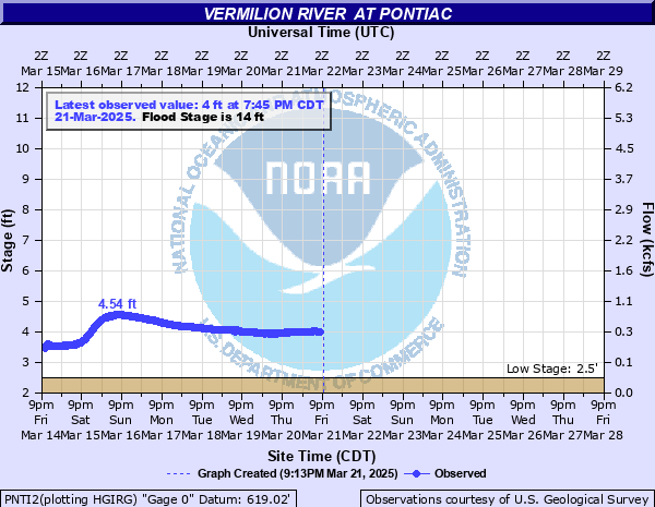
Vermilion River at Pontiac
Critical Stages
13' - Action
14' - Flood
15' - Moderate
18' - Major
Latest Observation
Updated: 1:45 PM CST 12/15/25
Status: No Flooding
Stage: 2.59 ft
Flow: 0.0064 kcfs
Forecast
Forecast not available for this location.
| Time | Stage (ft) | Flow (kcfs) |
|---|---|---|
| 2:45 PM 12/15 | 2.62 | 0.0078 |
| 2:30 PM 12/15 | 2.61 | 0.0074 |
| 2:15 PM 12/15 | 2.6 | 0.007 |
| 2:00 PM 12/15 | 2.59 | 0.0064 |
| 1:45 PM 12/15 | 2.59 | 0.0064 |
| 1:30 PM 12/15 | 2.58 | 0.0059 |
| 1:15 PM 12/15 | 2.59 | 0.0064 |
| 1:00 PM 12/15 | 2.59 | 0.0064 |
| 12:45 PM 12/15 | 2.59 | 0.0064 |
| 12:30 PM 12/15 | 2.58 | 0.0059 |
| 12:15 PM 12/15 | 2.57 | 0.0055 |
| 12:00 PM 12/15 | 2.57 | 0.0055 |
| 11:45 AM 12/15 | 2.56 | 0.005 |
| 11:30 AM 12/15 | 2.54 | 0.0042 |
| 11:15 AM 12/15 | 2.54 | 0.0042 |
| 11:00 AM 12/15 | 2.54 | 0.0042 |
| 10:45 AM 12/15 | 2.53 | 0.0039 |
| 10:30 AM 12/15 | 2.54 | 0.0042 |
| 10:15 AM 12/15 | 2.55 | 0.0046 |
| 10:00 AM 12/15 | 2.56 | 0.005 |
| 9:45 AM 12/15 | 2.58 | 0.0059 |
| 9:30 AM 12/15 | 2.59 | 0.0064 |
| 9:15 AM 12/15 | 2.59 | 0.0064 |
| 9:00 AM 12/15 | 2.58 | 0.0059 |
| 8:45 AM 12/15 | 2.56 | 0.005 |
| 8:30 AM 12/15 | 2.54 | 0.0042 |
| 8:15 AM 12/15 | 2.52 | 0.0036 |
| 8:00 AM 12/15 | 2.51 | 0.0033 |
| 7:45 AM 12/15 | 2.5 | 0.003 |
| 7:30 AM 12/15 | 2.5 | 0.003 |
22' -
Pontiac water treatment plant is threatened. IL-116 is threatened at the river in Pontiac.
21' -
Widespread inundation of the floodplain south of downtown Pontiac floods reaches up to 5 blocks from the river.
20' -
Lincoln Elementary School is threatened in Pontiac.
19' -
Numerous residences threatened along Water Street north of the river in Pontiac. Widespread inundation of the floodplain south of downtown Pontiac reaches up to 2 blocks from the river. Residences along Mockingbird Lane and Meadowlark Drive are threatened in Fairway View west of Pontiac. Utility structures are threatened in Pontiac. Livingston County 4-H Park is threatened northwest of Pontiac.
18.5' -
Mockingbird Lane and Meadowlark Drive are threatened in Fairway View west of Pontiac.
18' -
IL-116 is threatened east of Pontiac. Inundation of Humiston-Riverside Park reaches Water Street north of the river in Pontiac.
17' -
Numerous residences threatened along Grove Street south of the river in Pontiac. Washington Elementary School is threatened in Pontiac.
16.5' -
Low-lying residences threatened along the river between Mill Street and Chataqua Park. Low-lying sections of Southside Cemetery are inundated in Pontiac.
15' -
Low-lying sections of Pontiac Golf Course are inundated.
14' -
Widespread areas of Chatauqua Park are inundated in Pontiac.
13' -
Park Street is threatened in Pontiac. Low-lying sections of Chautauqua Park are inundated in Pontiac.
12' -
Low-lying sections of Humiston-Riverside Park are inundated in Pontiac.
10' -
Low-lying sections of Play Park are inundated in Pontiac.
8' -
Trails along the river in Humiston-Riverside Park are threatened in Pontiac.
| Date | Stage (ft) |
|---|---|
| Jan 9, 2008 | 19.18 |
| Dec 4, 1982 | 19.16 |
| Jun 3, 1980 | 18.12 |
| Jul 10, 1951 | 17.9 |
| May 14, 1970 | 17.46 |
| Dec 29, 2015 | 17.27 |
| Jan 14, 2005 | 17.23 |
| Apr 28, 1957 | 17.2 |
| May 2, 2019 | 17.16 |
| May 1, 1933 | 17 |
| May 19, 2020 | 16.66 |
| Mar 12, 1990 | 16.64 |
| May 13, 2002 | 16.35 |
| Mar 5, 1979 | 16.27 |
| Jan 5, 1993 | 16.21 |
| May 8, 1998 | 16.19 |
| Feb 24, 1985 | 16.07 |
| Oct 18, 1993 | 15.98 |
| Aug 5, 1943 | 15.9 |
| Jul 15, 1958 | 15.84 |
Data provided by the National Weather Service.