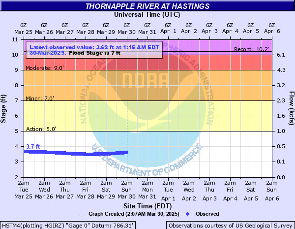
Thornapple River at Hastings
Critical Stages
5' - Action
7' - Flood
9' - Moderate
10' - Major
Latest Observation
Updated: 5:15 AM EST 12/13/25
Status: No Flooding
Stage: 3.2 ft
Flow: 0.169 kcfs
Forecast
Forecast not available for this location.
| Time | Stage (ft) | Flow (kcfs) |
|---|---|---|
| 5:15 AM 12/13 | 3.2 | 0.169 |
| 5:00 AM 12/13 | 3.2 | 0.169 |
| 4:45 AM 12/13 | 3.2 | 0.169 |
| 4:30 AM 12/13 | 3.2 | 0.169 |
| 4:15 AM 12/13 | 3.2 | 0.169 |
| 4:00 AM 12/13 | 3.2 | 0.169 |
| 3:45 AM 12/13 | 3.21 | 0.172 |
| 3:30 AM 12/13 | 3.2 | 0.169 |
| 3:15 AM 12/13 | 3.2 | 0.169 |
| 3:00 AM 12/13 | 3.2 | 0.169 |
| 2:45 AM 12/13 | 3.21 | 0.172 |
| 2:30 AM 12/13 | 3.21 | 0.172 |
| 2:15 AM 12/13 | 3.2 | 0.169 |
| 2:00 AM 12/13 | 3.2 | 0.169 |
| 1:45 AM 12/13 | 3.2 | 0.169 |
| 1:30 AM 12/13 | 3.2 | 0.169 |
| 1:15 AM 12/13 | 3.2 | 0.169 |
| 1:00 AM 12/13 | 3.2 | 0.169 |
| 12:45 AM 12/13 | 3.21 | 0.172 |
| 12:30 AM 12/13 | 3.2 | 0.169 |
| 12:15 AM 12/13 | 3.2 | 0.169 |
| 12:00 AM 12/13 | 3.2 | 0.169 |
| 11:45 PM 12/12 | 3.21 | 0.172 |
| 11:30 PM 12/12 | 3.21 | 0.172 |
| 11:15 PM 12/12 | 3.2 | 0.169 |
| 11:00 PM 12/12 | 3.2 | 0.169 |
| 10:45 PM 12/12 | 3.21 | 0.172 |
| 10:30 PM 12/12 | 3.2 | 0.169 |
| 10:15 PM 12/12 | 3.2 | 0.169 |
| 10:00 PM 12/12 | 3.2 | 0.169 |
10' -
Expect major flooding of River Road, farmland, and homes in low lying areas adjacent to the river. Over 200 homes flooded in the Hastings area and homes flood in Nashville on Water Street.
8' -
Expect minor flooding of River Road and homes at Quimby along River Lane, Charlton Park, and Berry's Landing.
7' -
Expect minor flooding of Tyden Park in Hastings, and homes upstream and downstream of Hastings.
5' -
River is bankfull. Expect minor flooding of low lying areas and farmland adjacent to the river.
| Date | Stage (ft) |
|---|---|
| Apr 7, 1947 | 10.2 |
| Feb 27, 1985 | 9.8 |
| Feb 23, 2018 | 9.79 |
| May 25, 2004 | 9.74 |
| Apr 21, 1975 | 9.72 |
| May 19, 2020 | 9.25 |
| Apr 7, 2023 | 9.1 |
| Mar 21, 1948 | 9.02 |
| Mar 16, 1982 | 9 |
| Apr 20, 2013 | 8.77 |
| Apr 1, 1960 | 8.75 |
| Apr 8, 2017 | 8.54 |
| Jun 10, 2008 | 8.32 |
| Jun 3, 1989 | 8.26 |
| Apr 22, 1993 | 8.17 |
| Feb 23, 1997 | 8.14 |
| Mar 8, 1979 | 8.11 |
| Mar 7, 1956 | 8.1 |
| Dec 30, 2008 | 8.07 |
| Feb 12, 2001 | 8.04 |
Data provided by the National Weather Service.