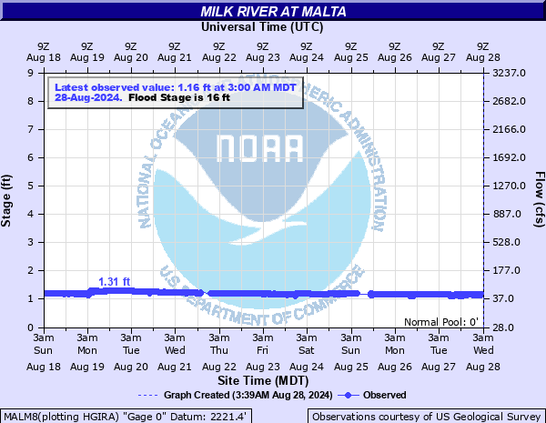
Milk River at Malta
Critical Stages
14' - Action
16' - Flood
19' - Moderate
22' - Major
Latest Observation
Updated: 6:00 AM MST 12/17/25
Status: No Flooding
Stage: 1.82 ft
Flow: 0.123 kcfs
Forecast
Forecast not available for this location.
| Time | Stage (ft) | Flow (kcfs) |
|---|---|---|
| 6:15 AM 12/17 | 1.86 | 0.131 |
| 6:00 AM 12/17 | 1.82 | 0.123 |
| 5:45 AM 12/17 | 1.81 | 0.122 |
| 5:30 AM 12/17 | 1.85 | 0.129 |
| 5:15 AM 12/17 | 1.86 | 0.131 |
| 5:00 AM 12/17 | 1.86 | 0.131 |
| 4:45 AM 12/17 | 1.87 | 0.132 |
| 4:30 AM 12/17 | 1.86 | 0.131 |
| 4:15 AM 12/17 | 1.86 | 0.131 |
| 4:00 AM 12/17 | 1.86 | 0.131 |
| 3:45 AM 12/17 | 1.86 | 0.131 |
| 3:30 AM 12/17 | 1.86 | 0.131 |
| 3:15 AM 12/17 | 1.86 | 0.131 |
| 3:00 AM 12/17 | 1.86 | 0.131 |
| 2:45 AM 12/17 | 1.86 | 0.131 |
| 2:30 AM 12/17 | 1.85 | 0.129 |
| 2:15 AM 12/17 | 1.85 | 0.129 |
| 2:00 AM 12/17 | 1.86 | 0.131 |
| 1:45 AM 12/17 | 1.86 | 0.131 |
| 1:30 AM 12/17 | 1.86 | 0.131 |
| 1:15 AM 12/17 | 1.86 | 0.131 |
| 1:00 AM 12/17 | 1.86 | 0.131 |
| 12:45 AM 12/17 | 1.85 | 0.129 |
| 12:30 AM 12/17 | 1.86 | 0.131 |
| 12:15 AM 12/17 | 1.87 | 0.132 |
| 12:00 AM 12/17 | 1.88 | 0.134 |
| 11:45 PM 12/16 | 1.89 | 0.136 |
| 11:30 PM 12/16 | 1.9 | 0.138 |
| 11:15 PM 12/16 | 1.91 | 0.14 |
| 11:00 PM 12/16 | 1.92 | 0.143 |
20' -
Flood water start impacting US Highway 191 north of Malta between US 2 and milepost 2.
19.5' -
Buildings on the west and north side of the river begin to flood.
19' -
Cabins along the east bank of the river will begin to be affected by the water.
16' -
Campground near US 2 bridge begins to flood.
| Date | Stage (ft) |
|---|---|
| Sep 27, 1986 | 23.67 |
| Apr 11, 1952 | 22.26 |
| Mar 27, 1918 | 19.8 |
| Apr 3, 1978 | 19.74 |
| Apr 10, 1907 | 19.6 |
| Apr 6, 1917 | 19.4 |
| Apr 26, 2018 | 18.13 |
| Oct 7, 2016 | 18.1 |
| Mar 19, 1979 | 17.77 |
| May 25, 2011 | 17.64 |
| Jun 7, 2013 | 15.52 |
| Apr 17, 2023 | 14.68 |
| Aug 27, 2014 | 14.2 |
| Mar 26, 1997 | 10.92 |
Data provided by the National Weather Service.