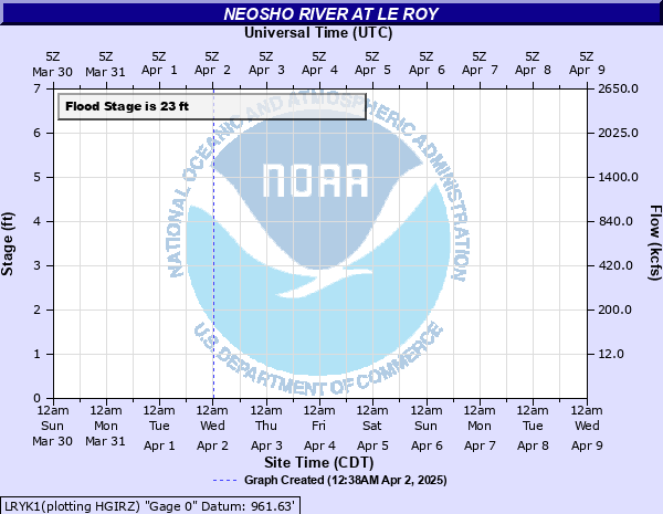
Neosho River at Le Roy
Critical Stages
18' - Action
23' - Flood
23' - Moderate
38' - Major
Latest Observation
Updated: 6:09 PM LMT 12/31/00
Status: Obs Not Current
Stage: -999 ft
Flow: -999 kcfs
Forecast
Forecast not available for this location.
Observation history not available.
43' -
Flood waters reach the top of the bridge deck on Reaper Lane over the Neosho River.
42.2' -
Flood waters reach the top of the bridge curb at the left bridge abutment.
37' -
Flood waters reach the low steel of the bridge over the Neosho River.
36' -
The east bank of the river floods.
27' -
The Missouri, Pacific and the Missouri, Kansas and Texas Railroad tracks overflow.
23' -
Significant overflows begin and about 100 acres of land nearby are inundated. The road under the railroad viaduct on the right bank floods.
21' -
At this stage the river is at bankfull and minor overflows begin and the road to Moody begins to flood.
| Date | Stage (ft) |
|---|---|
| Jul 12, 1951 | 34.48 |
| Jul 22, 1948 | 30.73 |
| Sep 12, 1926 | 29.6 |
| May 25, 2019 | 29.55 |
| Apr 17, 1945 | 29.2 |
| Jun 5, 1904 | 29.2 |
| Jul 1, 2007 | 28.7 |
| Jul 20, 1948 | 28.65 |
| Jan 6, 1941 | 28.5 |
| Nov 4, 1998 | 28 |
| Nov 19, 1928 | 28 |
| May 23, 1938 | 27.79 |
| May 24, 2015 | 27.7 |
| Jul 3, 1951 | 27.58 |
| Apr 9, 1922 | 27.4 |
| Oct 11, 1973 | 27.3 |
| Apr 19, 1927 | 27.3 |
| Jun 13, 1923 | 27.3 |
| Jun 12, 1916 | 27.1 |
| Oct 4, 1986 | 27 |
Data provided by the National Weather Service.