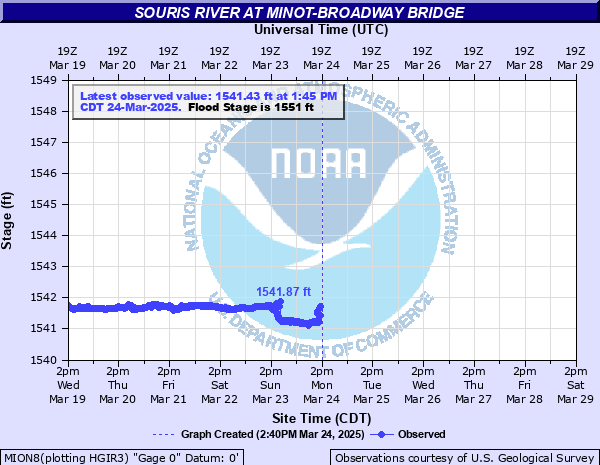
Souris River at Minot-Broadway Bridge
Critical Stages
1550' - Action
1551' - Flood
1553' - Moderate
1557' - Major
Latest Observation
Updated: 6:45 AM CST 12/1/25
Status: No Flooding
Stage: 1541.06 ft
Flow: 0 kcfs
Forecast
Forecast not available for this location.
| Time | Stage (ft) | Flow (kcfs) |
|---|---|---|
| 2:45 PM 12/15 | -9999 | -999 |
| 2:30 PM 12/15 | -9999 | -999 |
| 2:15 PM 12/15 | -9999 | -999 |
| 2:00 PM 12/15 | -9999 | -999 |
| 1:45 PM 12/15 | -9999 | -999 |
| 1:30 PM 12/15 | -9999 | -999 |
| 1:15 PM 12/15 | -9999 | -999 |
| 1:00 PM 12/15 | -9999 | -999 |
| 12:45 PM 12/15 | -9999 | -999 |
| 12:30 PM 12/15 | -9999 | -999 |
| 12:15 PM 12/15 | -9999 | -999 |
| 12:00 PM 12/15 | -9999 | -999 |
| 11:45 AM 12/15 | -9999 | -999 |
| 11:30 AM 12/15 | -9999 | -999 |
| 11:15 AM 12/15 | -9999 | -999 |
| 11:00 AM 12/15 | -9999 | -999 |
| 10:45 AM 12/15 | -9999 | -999 |
| 10:30 AM 12/15 | -9999 | -999 |
| 10:15 AM 12/15 | -9999 | -999 |
| 10:00 AM 12/15 | -9999 | -999 |
| 9:45 AM 12/15 | -9999 | -999 |
| 9:30 AM 12/15 | -9999 | -999 |
| 9:15 AM 12/15 | -9999 | -999 |
| 9:00 AM 12/15 | -9999 | -999 |
| 8:45 AM 12/15 | -9999 | -999 |
| 8:30 AM 12/15 | -9999 | -999 |
| 8:15 AM 12/15 | -9999 | -999 |
| 8:00 AM 12/15 | -9999 | -999 |
| 7:45 AM 12/15 | -9999 | -999 |
| 7:30 AM 12/15 | -9999 | -999 |
1556.2' -
Approximately the top of permanent flood protection for the city. A number of homes will be affected by flooding.
1552.2' -
Water begins to approach houses nearest to river banks.
| Date | Stage (ft) |
|---|---|
| Jun 25, 2011 | 1562.86 |
| Jan 1, 1881 | 1559.224 |
| Apr 18, 1976 | 1557.304 |
| Apr 20, 1969 | 1556.624 |
| Apr 20, 1904 | 1556.374 |
| Apr 13, 2023 | 1546.36 |
| Apr 12, 1996 | 1545.284 |
| May 1, 2022 | 1542.59 |
| Jun 27, 2021 | 1541.93 |
| Sep 5, 2020 | 1541.31 |
Data provided by the National Weather Service.