« Back to Upper Montclair Rivers
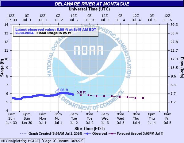
Delaware River at Montague
Critical Stages
23' - Action
25' - Flood
28' - Moderate
31' - Major
Latest Observation
Updated: 7:45 AM EST 12/6/25
Status: No Flooding
Stage: 4.84 ft
Flow: 1.72 kcfs
Forecast
| Time | Stage (ft) | Flow (kcfs) |
|---|---|---|
| 1 PM 12/6 | 4.8 | 1.66 |
| 7 PM 12/6 | 4.8 | 1.66 |
| 1 AM 12/7 | 4.7 | 1.5 |
| 7 AM 12/7 | 4.7 | 1.5 |
| 1 PM 12/7 | 4.7 | 1.5 |
| 7 PM 12/7 | 4.7 | 1.5 |
| 1 AM 12/8 | 4.7 | 1.5 |
| 7 AM 12/8 | 4.7 | 1.5 |
| Time | Stage (ft) | Flow (kcfs) |
|---|---|---|
| 7:45 AM 12/6 | 4.84 | 1.72 |
| 7:30 AM 12/6 | 4.84 | 1.72 |
| 7:15 AM 12/6 | 4.84 | 1.72 |
| 7:00 AM 12/6 | 4.84 | 1.72 |
| 6:45 AM 12/6 | 4.84 | 1.72 |
| 6:30 AM 12/6 | 4.84 | 1.72 |
| 6:15 AM 12/6 | 4.84 | 1.72 |
| 6:00 AM 12/6 | 4.84 | 1.72 |
| 5:45 AM 12/6 | 4.84 | 1.72 |
| 5:30 AM 12/6 | 4.84 | 1.72 |
| 5:15 AM 12/6 | 4.84 | 1.72 |
| 5:00 AM 12/6 | 4.84 | 1.72 |
| 4:45 AM 12/6 | 4.84 | 1.72 |
| 4:30 AM 12/6 | 4.84 | 1.72 |
| 4:15 AM 12/6 | 4.84 | 1.72 |
| 4:00 AM 12/6 | 4.84 | 1.72 |
| 3:45 AM 12/6 | 4.84 | 1.72 |
| 3:30 AM 12/6 | 4.84 | 1.72 |
| 3:15 AM 12/6 | 4.84 | 1.72 |
| 3:00 AM 12/6 | 4.84 | 1.72 |
| 2:45 AM 12/6 | 4.84 | 1.72 |
| 2:30 AM 12/6 | 4.84 | 1.72 |
| 2:15 AM 12/6 | 4.84 | 1.72 |
| 2:00 AM 12/6 | 4.84 | 1.72 |
| 1:45 AM 12/6 | 4.84 | 1.72 |
| 1:30 AM 12/6 | 4.84 | 1.72 |
| 1:15 AM 12/6 | 4.84 | 1.72 |
| 1:00 AM 12/6 | 4.84 | 1.72 |
| 12:45 AM 12/6 | 4.83 | 1.71 |
| 12:30 AM 12/6 | 4.83 | 1.71 |
35.2' -
This is the record flood from the remnants of Hurricane Diane in 1955. Widespread flooding with significant damages occurred on both sides of the river.
32.2' -
During the flood of June 2006, flooding extended up to Metz Road and covered all of Milford Beach area. Several residences were affected. Mashipacong Island was evacuated, as well as 60 residences on River Road in Montague Township. The Dingman's Ferry bridge sustained damage and was closed.
31.7' -
Dingman's Ferry bridge is closed at this level. Mashipacong Island has been evacuated in the past. Several properties are flooded on River Road in Montague Township, NJ.
31' -
Milford Beach area inundated to E. Hartford Street. Parts of River Road in Milford are inundated.
28' -
Flooding extends up Milford Beach Road and along the lowlands nearest the river. Sawkill Creek backs up toward E. Hartford Street. Parts of River Road in Milford begin to flood.
26.7' -
Inundation of agricultural and recreational areas nearest the river increases. Some evacuations took place on the New Jersey side of the river during the January 1996 flood.
25' -
Minor flooding begins in the Milford Beach Park area, including Metcalfe Lane.
| Date | Stage (ft) |
|---|---|
| Aug 19, 1955 | 35.15 |
| Jun 29, 2006 | 32.16 |
| Apr 3, 2005 | 31.69 |
| Oct 10, 1903 | 31.1 |
| Mar 18, 1936 | 28.45 |
| Sep 18, 2004 | 28.37 |
| Jan 20, 1996 | 26.66 |
| May 23, 1942 | 25.7 |
Data provided by the National Weather Service.