« Back to Volga River State Recreation Area Rivers
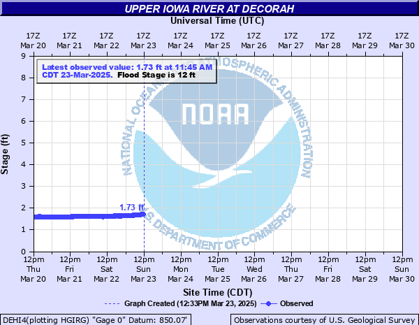
Upper Iowa River at Decorah
Critical Stages
9' - Action
12' - Flood
13' - Moderate
14' - Major
Latest Observation
Updated: 9:45 PM CST 12/7/25
Status: No Flooding
Stage: 1.85 ft
Flow: 0.25 kcfs
Forecast
Forecast not available for this location.
| Time | Stage (ft) | Flow (kcfs) |
|---|---|---|
| 9:45 PM 12/7 | 1.85 | 0.25 |
| 9:30 PM 12/7 | 1.85 | 0.25 |
| 9:15 PM 12/7 | 1.84 | 0.245 |
| 9:00 PM 12/7 | 1.85 | 0.25 |
| 8:45 PM 12/7 | 1.86 | 0.256 |
| 8:30 PM 12/7 | 1.86 | 0.256 |
| 8:15 PM 12/7 | 1.86 | 0.256 |
| 8:00 PM 12/7 | 1.87 | 0.261 |
| 7:45 PM 12/7 | 1.86 | 0.256 |
| 7:30 PM 12/7 | 1.87 | 0.261 |
| 7:15 PM 12/7 | 1.87 | 0.261 |
| 7:00 PM 12/7 | 1.87 | 0.261 |
| 6:45 PM 12/7 | 1.87 | 0.261 |
| 6:30 PM 12/7 | 1.87 | 0.261 |
| 6:15 PM 12/7 | 1.87 | 0.261 |
| 6:00 PM 12/7 | 1.88 | 0.267 |
| 5:45 PM 12/7 | 1.88 | 0.267 |
| 5:30 PM 12/7 | 1.88 | 0.267 |
| 5:15 PM 12/7 | 1.88 | 0.267 |
| 5:00 PM 12/7 | 1.89 | 0.272 |
| 4:45 PM 12/7 | 1.89 | 0.272 |
| 4:30 PM 12/7 | 1.9 | 0.278 |
| 4:15 PM 12/7 | 1.9 | 0.278 |
| 4:00 PM 12/7 | 1.92 | 0.289 |
| 3:45 PM 12/7 | 1.92 | 0.289 |
| 3:30 PM 12/7 | 1.92 | 0.289 |
| 3:15 PM 12/7 | 1.93 | 0.295 |
| 3:00 PM 12/7 | 1.94 | 0.301 |
| 2:45 PM 12/7 | 1.94 | 0.301 |
| 2:30 PM 12/7 | 1.94 | 0.301 |
19.5' -
Water may begin to overtop the protective levee.
17.5' -
College Drive bridge is closed.
17' -
Exterior lanes along College Drive Bridge are closed. Homes along Riverview Drive north of 5th Street begin to inundate.
16.5' -
Pole Line Road is closed as well as Highway 52 at Pole Line Road. Downstream community of Freeport begins evacuating.
16' -
Valley View Drive is closed.
15' -
Sandbagging operations begin in Freeport. Pulpit Rock Campground are evacuated. Homes along Valley View Drive south are evacuated. Homes along Riverview Drive north of 5th Street are threatened.
14.5' -
Northern road to Freeport is closed.
14' -
Major flooding may occur outside the areas protected by the levee. Ice Cave Road is closed.
13' -
Residential flooding on the west side of town is possible. Street and storm sewer flooding on the east side of town south of the levee can cause basement flooding if flood stage is exceeded for an extended period of time.
12' -
Residential areas are threatened on the west edge of Decorah just before the levee protecting the town begins. City begins to initiate sandbagging operations. Luther College Dike Road is closed.
10' -
City begins to set up pumping operations in high risk areas across town.
9' -
Agricultural flooding occurs outside of the town of Decorah.
| Date | Stage (ft) |
|---|---|
| Jun 9, 2008 | 17.9 |
| Aug 17, 1993 | 14.35 |
| Aug 24, 2016 | 13.68 |
| Mar 27, 1961 | 13.08 |
| Jun 1, 2000 | 12.31 |
| Jun 10, 2018 | 11.87 |
| Jun 23, 2013 | 11.67 |
| Jun 30, 1969 | 11.35 |
| Mar 30, 1962 | 11.32 |
| Mar 12, 1976 | 10.75 |
| Jun 28, 1998 | 10.64 |
| Sep 25, 1972 | 10.47 |
| Jun 12, 1967 | 10.46 |
| Jun 21, 1954 | 10.12 |
| Apr 8, 2001 | 10.06 |
| Sep 30, 1965 | 9.98 |
| Aug 25, 1990 | 9.89 |
| Jun 17, 1978 | 9.83 |
| Jun 10, 1974 | 9.82 |
| Feb 8, 1966 | 9.65 |
Data provided by the National Weather Service.