« Back to Volga River State Recreation Area Rivers
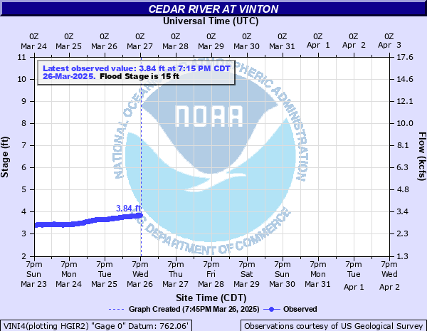
Cedar River at Vinton
Critical Stages
14' - Action
15' - Flood
18' - Moderate
19' - Major
Latest Observation
Updated: 10:15 PM CST 12/7/25
Status: No Flooding
Stage: 4.98 ft
Flow: 4.67 kcfs
Forecast
Forecast not available for this location.
| Time | Stage (ft) | Flow (kcfs) |
|---|---|---|
| 10:15 PM 12/7 | 4.98 | 4.67 |
| 10:00 PM 12/7 | 4.98 | 4.67 |
| 9:45 PM 12/7 | 4.99 | 4.68 |
| 9:30 PM 12/7 | 4.99 | 4.68 |
| 9:15 PM 12/7 | 4.99 | 4.68 |
| 9:00 PM 12/7 | 4.99 | 4.68 |
| 8:45 PM 12/7 | 4.99 | 4.68 |
| 8:30 PM 12/7 | 4.98 | 4.67 |
| 8:15 PM 12/7 | 4.98 | 4.67 |
| 8:00 PM 12/7 | 4.98 | 4.67 |
| 7:45 PM 12/7 | 4.98 | 4.67 |
| 7:30 PM 12/7 | 4.97 | 4.65 |
| 7:15 PM 12/7 | 4.97 | 4.65 |
| 7:00 PM 12/7 | 4.97 | 4.65 |
| 6:45 PM 12/7 | 4.96 | 4.64 |
| 6:30 PM 12/7 | 4.96 | 4.64 |
| 6:15 PM 12/7 | 4.95 | 4.62 |
| 6:00 PM 12/7 | 4.94 | 4.61 |
| 5:45 PM 12/7 | 4.93 | 4.6 |
| 5:30 PM 12/7 | 4.93 | 4.6 |
| 5:15 PM 12/7 | 4.92 | 4.58 |
| 5:00 PM 12/7 | 4.91 | 4.57 |
| 4:45 PM 12/7 | 4.9 | 4.55 |
| 4:30 PM 12/7 | 4.89 | 4.54 |
| 4:15 PM 12/7 | 4.88 | 4.52 |
| 4:00 PM 12/7 | 4.87 | 4.51 |
| 3:45 PM 12/7 | 4.86 | 4.5 |
| 3:30 PM 12/7 | 4.85 | 4.48 |
| 3:15 PM 12/7 | 4.84 | 4.47 |
| 3:00 PM 12/7 | 4.83 | 4.45 |
22' -
Several blocks near 1st, 2nd, 3rd streets, Riverside Drive and 6th Ave are under water in Vinton affecting homes and businesses. Hinkle Creek backs up closing access over the creek via W 3rd and W 4th Streets. Several homes and businesses are inundated by water from Hinkle Creek.
19.5' -
Water is at the bottom of the Iowa State Highway 150 bridge.
19' -
Major Flood Stage. Highway 150 is under water in Vinton and the bridge over the Cedar River is closed.
18' -
Moderate Flood Stage. Water affects the lowest parts of Riverside Drive, and portions of East 2nd Street and North 3rd Avenue in Vinton.
17.5' -
Flood protection measures such as road closures and sandbagging begin. Water affects the intersections of East 2nd Street and 3rd Avenue and North 3rd Avenue and East 3rd Street in Vinton.
15' -
Minor Flood Stage. Agricultural and low land flooding is ongoing. Water affects much of 22nd Avenue Road northwest of Vinton.
13' -
Water affects the lowest part of 22nd Avenue Road northwest of Vinton.
12.5' -
Water affects the lowest part of 22nd Avenue Road northwest of Vinton.
10' -
Water affects low lying agricultural land north of Vinton. Water is flowing through the overflow channel north of the main channel on Highway 150.
8.5' -
Flow may begin into the overflow channel north of the main channel on Highway 150.
| Date | Stage (ft) |
|---|---|
| Jun 12, 2008 | 24.7 |
| Sep 26, 2016 | 21.8 |
| Mar 30, 1961 | 19.3 |
| Apr 4, 1993 | 19.2 |
| Jun 1, 2013 | 18.59 |
| May 26, 2004 | 18.4 |
| Apr 9, 1965 | 18.05 |
| Jul 24, 1999 | 18 |
| Jun 23, 2014 | 17.81 |
| Mar 17, 2019 | 17.72 |
| Jul 3, 1969 | 17.1 |
| Mar 30, 1960 | 16.9 |
| Jun 25, 2020 | 15.97 |
| Mar 16, 2010 | 15.95 |
| Mar 27, 2011 | 13.44 |
| Jun 27, 2015 | 12.37 |
| May 9, 2012 | 8.28 |
Data provided by the National Weather Service.