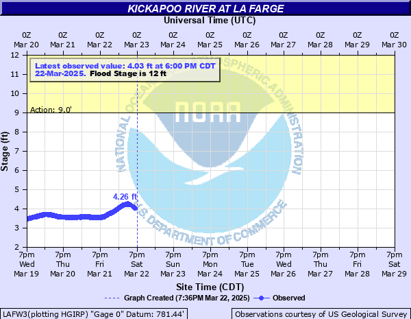
Kickapoo River at La Farge
Critical Stages
9' - Action
12' - Flood
13' - Moderate
14' - Major
Latest Observation
Updated: 10:00 PM CST 12/14/25
Status: No Flooding
Stage: 3.44 ft
Flow: 0.223 kcfs
Forecast
Forecast not available for this location.
| Time | Stage (ft) | Flow (kcfs) |
|---|---|---|
| 10:00 PM 12/14 | 3.44 | 0.223 |
| 9:55 PM 12/14 | 3.44 | 0.223 |
| 9:50 PM 12/14 | 3.43 | 0.222 |
| 9:45 PM 12/14 | 3.46 | 0.227 |
| 9:40 PM 12/14 | 3.42 | 0.22 |
| 9:35 PM 12/14 | 3.42 | 0.22 |
| 9:30 PM 12/14 | 3.42 | 0.22 |
| 9:25 PM 12/14 | 3.44 | 0.223 |
| 9:20 PM 12/14 | 3.43 | 0.222 |
| 9:15 PM 12/14 | 3.43 | 0.222 |
| 9:10 PM 12/14 | 3.44 | 0.223 |
| 9:05 PM 12/14 | 3.41 | 0.219 |
| 9:00 PM 12/14 | 3.42 | 0.22 |
| 8:55 PM 12/14 | 3.42 | 0.22 |
| 8:50 PM 12/14 | 3.39 | 0.215 |
| 8:45 PM 12/14 | 3.4 | 0.217 |
| 8:40 PM 12/14 | 3.43 | 0.222 |
| 8:35 PM 12/14 | 3.4 | 0.217 |
| 8:30 PM 12/14 | 3.41 | 0.219 |
| 8:25 PM 12/14 | 3.42 | 0.22 |
| 8:20 PM 12/14 | 3.39 | 0.215 |
| 8:15 PM 12/14 | 3.39 | 0.215 |
| 8:10 PM 12/14 | 3.39 | 0.215 |
| 8:05 PM 12/14 | 3.38 | 0.214 |
| 8:00 PM 12/14 | 3.41 | 0.219 |
| 7:55 PM 12/14 | 3.41 | 0.219 |
| 7:50 PM 12/14 | 3.4 | 0.217 |
| 7:45 PM 12/14 | 3.41 | 0.219 |
| 7:40 PM 12/14 | 3.39 | 0.215 |
| 7:35 PM 12/14 | 3.37 | 0.212 |
14' -
There is significant flooding in and around La Farge.
13' -
Some roads are under water and several residences and businesses are affected. However the majority of the people in town are still dry.
12' -
Agricultural land adjacent to the river is flooded and minor flooding affects some residences and commercial properties. Water may also go over Highway 131 south of La Farge near Ski Hill Road, and also over Winchell Valley Road at Bridge 8.
| Date | Stage (ft) |
|---|---|
| Aug 29, 2018 | 19.42 |
| Jun 9, 2008 | 15.78 |
| Jul 21, 2017 | 15.16 |
| Jul 1, 1978 | 14.92 |
| Sep 22, 2016 | 14.17 |
| Feb 9, 1966 | 13.67 |
| Jul 20, 2019 | 13.06 |
| Aug 19, 2007 | 12.84 |
| Mar 27, 1961 | 12.7 |
| Jun 17, 1984 | 12.69 |
| Aug 14, 2010 | 12.62 |
| Jul 15, 2024 | 12.57 |
| Apr 4, 1956 | 12.35 |
| Jun 16, 1967 | 12.34 |
| Jul 21, 1951 | 12.32 |
| Jan 6, 1946 | 12.03 |
| Apr 4, 1981 | 11.87 |
| Feb 20, 1994 | 11.8 |
| Sep 21, 1983 | 11.62 |
| Jun 18, 1996 | 11.51 |
Data provided by the National Weather Service.