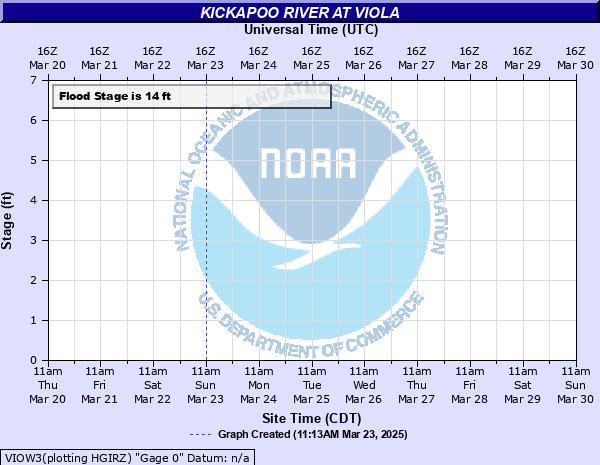
Kickapoo River at Viola
Critical Stages
12' - Action
14' - Flood
16' - Moderate
18' - Major
Latest Observation
Updated: 6:09 PM LMT 12/31/00
Status: Obs Not Current
Stage: -999 ft
Flow: -999 kcfs
Forecast
Forecast not available for this location.
Observation history not available.
20' -
Water reaches the underside of the bridge, and the bridge begins to act as a dam holding back water.
19' -
Water goes over Main Street in Viola. There is a potential for serious damage in town.
18' -
Buildings in Viola begin to flood.
17' -
Water is flowing over Highway 56 east of Viola.
16.5' -
Highway 56 just east of Viola is closed due to flooding.
16' -
Water begins going over Highway 131/56 in Viola.
15' -
Banker Park and Campground in Viola experiences significant flooding.
14.5' -
Two roads north of Viola may be under water. Water may be over Highway 131, 3 miles north of Viola, near Ski Hill Road, and also over Simmons Flat Road about a mile north of town.
14' -
Minor flooding occurs in areas near the river, including Banker Park in Viola. Flooding also affects low lying agricultural land.
| Date | Stage (ft) |
|---|---|
| Aug 29, 2018 | 23.72 |
| Jun 9, 2008 | 21.25 |
| Jul 1, 1978 | 21 |
| Jul 21, 2017 | 20.25 |
| Sep 22, 2016 | 19.32 |
| Aug 20, 2007 | 18.2 |
| Aug 14, 2010 | 17.25 |
| Jul 20, 2019 | 17.2 |
| Mar 15, 2007 | 16.21 |
| Apr 12, 2001 | 16.1 |
| Jul 16, 2024 | 15.46 |
| Mar 7, 2004 | 15.34 |
| Jun 2, 2000 | 15.3 |
| Mar 24, 2011 | 15.24 |
| Apr 11, 2013 | 15.05 |
| Jun 1, 2004 | 14.89 |
| Jun 13, 2004 | 14.8 |
| Mar 3, 2004 | 14.68 |
| Apr 15, 2014 | 14.6 |
| Oct 3, 2019 | 14.4 |
Data provided by the National Weather Service.