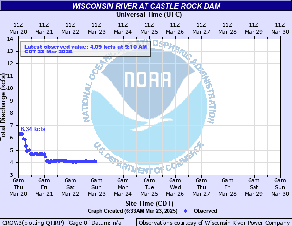
Wisconsin River at Castle Rock Dam
Critical Stages
Action
Flood
Moderate
Major
Latest Observation
Updated: 9:10 AM CST 12/17/25
Status: No Flooding
Stage: 2.372 ft
Flow: 845.3 kcfs
Forecast
Forecast not available for this location.
| Time | Stage (ft) | Flow (kcfs) |
|---|---|---|
| 9:10 AM 12/17 | 2.372 | 845.3 |
| 8:10 AM 12/17 | 2.348 | 845.3 |
| 7:10 AM 12/17 | 2.352 | 845.3 |
| 6:10 AM 12/17 | 2.327 | 845.3 |
| 5:10 AM 12/17 | 2.291 | 845.3 |
| 4:10 AM 12/17 | 2.338 | 845.3 |
| 3:10 AM 12/17 | 2.345 | 845.3 |
| 2:10 AM 12/17 | 2.326 | 845.3 |
| 1:10 AM 12/17 | 2.327 | 845.3 |
| 12:10 AM 12/17 | 2.32 | 845.3 |
| 11:10 PM 12/16 | 2.322 | 845.3 |
| 10:10 PM 12/16 | 2.315 | 845.3 |
| 9:10 PM 12/16 | 2.325 | 845.3 |
| 8:10 PM 12/16 | 2.324 | 845.3 |
| 7:10 PM 12/16 | 2.323 | 845.3 |
| 6:10 PM 12/16 | 2.32 | 845.3 |
| 5:10 PM 12/16 | 2.317 | 845.3 |
| 4:10 PM 12/16 | 2.337 | 845.3 |
| 3:10 PM 12/16 | 2.366 | 845.3 |
| 2:10 PM 12/16 | 2.344 | 845.3 |
| 11:10 AM 12/16 | 2.383 | 845.3 |
| 10:10 AM 12/16 | 2.369 | 845.3 |
| 8:10 AM 12/16 | 2.404 | 845.3 |
| 7:10 AM 12/16 | 2.35 | 845.3 |
| 6:10 AM 12/16 | 2.35 | 845.3 |
| 5:10 AM 12/16 | 2.365 | 845.3 |
| 4:10 AM 12/16 | 2.314 | 845.3 |
| 3:10 AM 12/16 | 2.345 | 845.3 |
| 2:10 AM 12/16 | 2.343 | 845.3 |
| 1:10 AM 12/16 | 2.341 | 845.3 |
40000' -
Localized flooding of properties along the river off Highway Z and HH is possible downstream of the Castle Rock Dam.
30000' -
Localized flooding occurs along the river downstream of the Castle Rock Dam.
| Date | Stage (ft) |
|---|---|
| Sep 25, 2010 | 859.43 |
| Apr 19, 2019 | 858.2 |
| Apr 12, 2011 | 857.74 |
Data provided by the National Weather Service.