Smoky Hill River near Abilene
Critical Stages
22' - Action
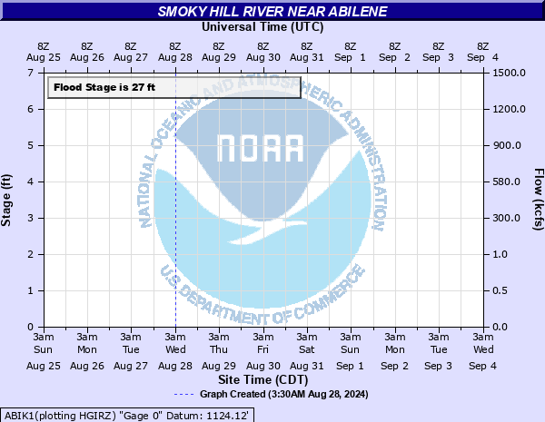
27' - Flood
30' - Moderate
33' - Major
Latest Observation
Updated: 6:09 PM LMT 12/31/00
Status: Obs Not Current
Stage: -999 ft
Flow: -999 kcfs
Forecast
Forecast not available for this location.
Observation history not available.
33' -
Major flooding in the city of Abilene.
32.1' -
Water around a foot deep flows over Old Highway 40. The town of Solomon upstream has water up to 10 inches deep covering Main Street.
31.8' -
Flood waters overflow the top of the rainroad tracks 1 mile northwest of Enterprise.
31' -
Old U.S. 40 floods about 800 feet east of Eden Road at Sand Springs. Flood waters flow across Solomon Road from Solomon to 2150 Avenue.
30.5' -
The south side of Abilene near the Smoky Hill River floods.
30' -
Kansas Highway 15, Buckeye Avenue, south of Abilene floods.
27' -
Minor flooding begins along the Smoky Hill River from Sand Spring to Abilene.
| Date | Stage (ft) |
|---|---|
| Jul 14, 1951 | 34 |
| May 29, 1903 | 32.3 |
| Jul 22, 1993 | 32.1 |
| Sep 29, 1973 | 31.97 |
| Oct 12, 1973 | 31.88 |
| Jul 16, 1993 | 30.94 |
| Jun 28, 1951 | 30.8 |
| Jul 28, 1948 | 30.7 |
| Jun 14, 1951 | 30.6 |
| May 26, 2007 | 30.35 |
| Sep 12, 1946 | 30.2 |
| Jul 5, 2019 | 30 |
| Jul 21, 1950 | 30 |
| Apr 2, 1973 | 29.93 |
| May 30, 1995 | 29.85 |
| Aug 22, 1950 | 29.8 |
| May 23, 2019 | 29.75 |
| Oct 20, 1941 | 29.7 |
| May 26, 1945 | 29.5 |
| Apr 17, 1945 | 29.4 |
Data provided by the National Weather Service.