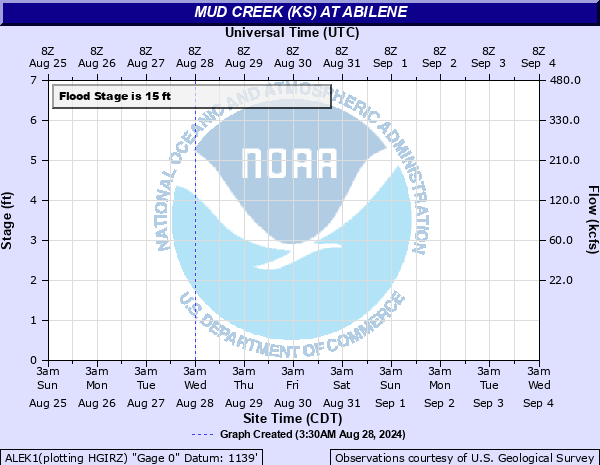
Mud Creek (KS) at Abilene
Critical Stages
10' - Action
15' - Flood
27' - Moderate
33' - Major
Latest Observation
Updated: 6:09 PM LMT 12/31/00
Status: Obs Not Current
Stage: -999 ft
Flow: -999 kcfs
Forecast
Forecast not available for this location.
Observation history not available.
27.7' -
Flood waters overtop the 14th Street or Old Highway 40 bridge over the Mud Creek.
21.8' -
Field north of 14th Street or Old Highway 40, on the east side of Mud Creek floods.
15.5' -
Farm fields on the east bank of Mud Creek near 14th Street Floods.
15' -
Minor flooding occurs along Mud Creek north of Old Highway 40.
| Date | Stage (ft) |
|---|---|
| May 24, 2007 | 19.5 |
| Aug 2, 2013 | 19 |
| May 23, 1999 | 17.8 |
| Nov 4, 1998 | 17.73 |
| May 7, 2007 | 17 |
| Oct 11, 1973 | 15.77 |
| Jul 6, 1993 | 15.18 |
| Jun 13, 1991 | 14.75 |
| Oct 31, 1979 | 14.27 |
| Jul 26, 1990 | 14.1 |
| May 17, 1995 | 14 |
| Jul 23, 1992 | 13.96 |
| May 22, 1971 | 13.93 |
| Aug 2, 1978 | 12.92 |
| Jun 6, 2001 | 11.85 |
| Jun 24, 1976 | 11.49 |
| Sep 22, 1970 | 11.28 |
| Jan 22, 2010 | 11.21 |
| Jul 6, 1979 | 11 |
| Sep 22, 2009 | 10.93 |
Data provided by the National Weather Service.