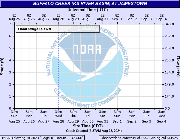
Buffalo Creek (KS River Basin) at Jamestown
Critical Stages
11' - Action
16' - Flood
19' - Moderate
35' - Major
Latest Observation
Updated: 6:09 PM LMT 12/31/00
Status: Obs Not Current
Stage: -999 ft
Flow: -999 kcfs
Forecast
Forecast not available for this location.
Observation history not available.
24.39' -
North 40th Road bridge over the Buffalo Creek floods.
19.73' -
North 40th Road floods 100 yards south of Buffalo Creek.
18' -
The north bank of the Buffalo Creek Floods. Lowland flooding continues from 763 Road to the Republican River.
16.86' -
Farm field along the north bank of the Buffalo Creek floods.
16' -
Minor flooding begins along the creek as the south bank overflows.
12.65' -
Farm field just north of Buffalo Creek on the northwest side of north 40th Road floods.
| Date | Stage (ft) |
|---|---|
| Jul 28, 2020 | 19.82 |
| Oct 12, 1973 | 19.65 |
| Sep 12, 1961 | 19.31 |
| Oct 12, 1986 | 18.66 |
| Jul 18, 1993 | 18.55 |
| Jan 1, 1948 | 18.5 |
| Jun 24, 2003 | 18.45 |
| Sep 29, 1973 | 18.32 |
| Mar 24, 1987 | 18.13 |
| Apr 14, 1987 | 18.12 |
| May 27, 1995 | 18 |
| Aug 20, 1968 | 17.91 |
| May 23, 1961 | 17.89 |
| Aug 19, 1961 | 17.79 |
| May 8, 1973 | 17.77 |
| Sep 11, 2003 | 17.75 |
| May 25, 2019 | 17.68 |
| Feb 28, 1969 | 17.63 |
| Jun 21, 2018 | 17.62 |
| Sep 7, 1968 | 17.62 |
Data provided by the National Weather Service.