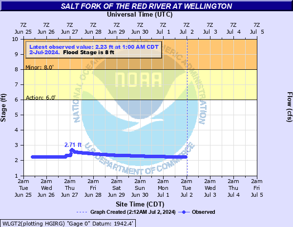
Salt Fork of the Red River at Wellington
Critical Stages
6' - Action
8' - Flood
10' - Moderate
13' - Major
Latest Observation
Updated: 5:00 PM CST 12/15/25
Status: No Flooding
Stage: 2.54 ft
Flow: 0.001 kcfs
Forecast
Forecast not available for this location.
| Time | Stage (ft) | Flow (kcfs) |
|---|---|---|
| 5:00 PM 12/15 | 2.54 | 0.001 |
| 4:45 PM 12/15 | 2.54 | 0.001 |
| 4:30 PM 12/15 | 2.54 | 0.001 |
| 4:15 PM 12/15 | 2.54 | 0.001 |
| 4:00 PM 12/15 | 2.54 | 0.001 |
| 3:45 PM 12/15 | 2.54 | 0.001 |
| 3:30 PM 12/15 | 2.54 | 0.001 |
| 3:15 PM 12/15 | 2.54 | 0.001 |
| 3:00 PM 12/15 | 2.54 | 0.001 |
| 2:45 PM 12/15 | 2.54 | 0.001 |
| 2:30 PM 12/15 | 2.54 | 0.001 |
| 2:15 PM 12/15 | 2.54 | 0.001 |
| 2:00 PM 12/15 | 2.54 | 0.001 |
| 1:45 PM 12/15 | 2.54 | 0.001 |
| 1:30 PM 12/15 | 2.54 | 0.001 |
| 1:15 PM 12/15 | 2.54 | 0.001 |
| 1:00 PM 12/15 | 2.54 | 0.001 |
| 12:45 PM 12/15 | 2.54 | 0.001 |
| 12:30 PM 12/15 | 2.54 | 0.001 |
| 12:15 PM 12/15 | 2.54 | 0.001 |
| 12:00 PM 12/15 | 2.54 | 0.001 |
| 11:45 AM 12/15 | 2.54 | 0.001 |
| 11:30 AM 12/15 | 2.54 | 0.001 |
| 11:15 AM 12/15 | 2.54 | 0.001 |
| 11:00 AM 12/15 | 2.54 | 0.001 |
| 10:45 AM 12/15 | 2.54 | 0.001 |
| 10:30 AM 12/15 | 2.54 | 0.001 |
| 10:15 AM 12/15 | 2.54 | 0.001 |
| 9:00 AM 12/15 | 2.54 | 0.001 |
| 8:45 AM 12/15 | 2.54 | 0.001 |
20' -
High water will likely damage the highway 83 bridge and flooding may occur.
15.5' -
Almost all of Collingsworth County Roadside Park floods, including the restrooms. Major flooding of pastureland and farm land occurs.
12.5' -
Almost all of the campground and playground areas at the Collingsworth County Roadside Park is underwater. Significant flooding of ranch land occurs.
8' -
Lowest areas of Collingsworth County Roadside Park begin to flood, including the campground area. Flooding of ranch land also begins to occur.
| Date | Stage (ft) |
|---|---|
| Apr 3, 1997 | 19.55 |
| May 16, 1957 | 19 |
| Jun 16, 1938 | 17.5 |
| May 23, 2015 | 9.35 |
| Jul 7, 2010 | 7.96 |
| Apr 26, 2025 | 6.84 |
| May 31, 2021 | 6.28 |
Data provided by the National Weather Service.