Montana Creek at Parks Highway Bridge
Critical Stages
8' - Action
9' - Flood
10' - Moderate
11' - Major
Latest Observation
Updated: 2:00 PM LMT 1/1/01
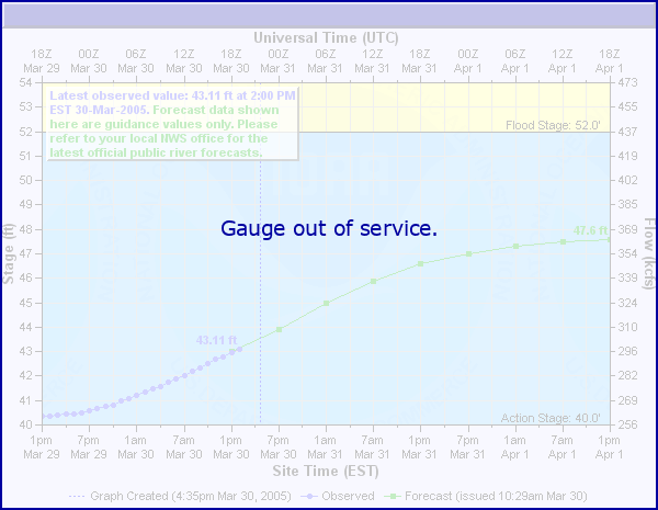
Status: Out Of Service
Stage: -999 ft
Flow: -999 kcfs
Forecast
Forecast not available for this location.
Observation history not available.
11.3' -
Flood of record, October 1986. Both the highway and the railroad bridges were compromised due to erosion.
10.5' -
Approximate 4 0x0p+0nnual chance of flood according to FEMA's modeled Flood Insurance Study
9.5' -
Approximate 10 0x0p+0nnual chance of flood according to FEMA's modeled Flood Insurance Study
9' -
Water in low lying areas of Montana Creek Campground.
8' -
Base elevation of the pedestrian and flood relief culvert under the Parks Highway.
| Date | Stage (ft) |
|---|---|
| Oct 10, 1986 | 11.3 |
| Aug 19, 2006 | 9.74 |
| Sep 20, 2012 | 9.63 |
| Aug 25, 1989 | 8.75 |
| Aug 25, 1984 | 8.63 |
| Jul 31, 1987 | 8.51 |
| Sep 29, 2015 | 8.36 |
| Aug 12, 1985 | 8 |
| Aug 13, 1999 | 7.99 |
| Jun 15, 1989 | 7.92 |
| Aug 28, 2021 | 7.87 |
| Sep 24, 2005 | 7.76 |
| May 31, 2013 | 7.75 |
| Jun 5, 1985 | 7.74 |
| Aug 2, 1981 | 7.7 |
| Sep 8, 1987 | 7.67 |
| Jul 25, 1982 | 7.65 |
| May 23, 1988 | 7.63 |
| Sep 16, 1982 | 7.63 |
| Sep 17, 1993 | 7.48 |
Data provided by the National Weather Service.