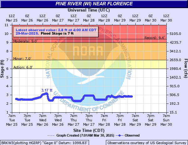
Pine River (WI) near Florence
Critical Stages
6' - Action
7' - Flood
9' - Moderate
12' - Major
Latest Observation
Updated: 2:00 AM CST 12/16/25
Status: No Flooding
Stage: 3.42 ft
Flow: 0.673 kcfs
Forecast
Forecast not available for this location.
| Time | Stage (ft) | Flow (kcfs) |
|---|---|---|
| 3:00 AM 12/16 | 3.42 | 0.673 |
| 2:45 AM 12/16 | 3.42 | 0.673 |
| 2:30 AM 12/16 | 3.42 | 0.673 |
| 2:15 AM 12/16 | 3.42 | 0.673 |
| 2:00 AM 12/16 | 3.42 | 0.673 |
| 1:45 AM 12/16 | 3.42 | 0.673 |
| 1:30 AM 12/16 | 3.42 | 0.673 |
| 1:15 AM 12/16 | 3.42 | 0.673 |
| 1:00 AM 12/16 | 3.43 | 0.678 |
| 12:45 AM 12/16 | 3.43 | 0.678 |
| 12:30 AM 12/16 | 3.43 | 0.678 |
| 12:15 AM 12/16 | 3.44 | 0.682 |
| 12:00 AM 12/16 | 3.44 | 0.682 |
| 11:45 PM 12/15 | 3.44 | 0.682 |
| 11:30 PM 12/15 | 3.44 | 0.682 |
| 11:15 PM 12/15 | 3.44 | 0.682 |
| 11:00 PM 12/15 | 3.44 | 0.682 |
| 10:45 PM 12/15 | 3.44 | 0.682 |
| 10:30 PM 12/15 | 3.45 | 0.686 |
| 10:15 PM 12/15 | 3.45 | 0.686 |
| 10:00 PM 12/15 | 3.46 | 0.691 |
| 9:45 PM 12/15 | 3.46 | 0.691 |
| 9:30 PM 12/15 | 3.46 | 0.691 |
| 9:15 PM 12/15 | 3.46 | 0.691 |
| 9:00 PM 12/15 | 3.46 | 0.691 |
| 8:45 PM 12/15 | 3.46 | 0.691 |
| 8:30 PM 12/15 | 3.46 | 0.691 |
| 8:15 PM 12/15 | 3.46 | 0.691 |
| 8:00 PM 12/15 | 3.46 | 0.691 |
| 7:45 PM 12/15 | 3.46 | 0.691 |
12' -
Water touches the bottom of the bridge on Highway N. Water may be covering portions of Highway N.
9' -
Several feet of water is covering a recreational area and parking lot.
7' -
A recreational area and parking lot near the gauge begins to flood.
6' -
There is minor flooding of wooded lowland.
| Date | Stage (ft) |
|---|---|
| Apr 19, 2002 | 9.37 |
| Jan 1, 1999 | 9 |
| Apr 9, 1929 | 8.95 |
| May 8, 1965 | 8.9 |
| May 2, 1972 | 8.46 |
| Apr 17, 2023 | 8.35 |
| Jun 13, 2017 | 7.33 |
| Apr 24, 2019 | 7.17 |
| Apr 6, 1997 | 7.06 |
| May 2, 2013 | 6.8 |
| Sep 24, 2010 | 6.7 |
| Apr 4, 2020 | 6.31 |
| Mar 17, 2016 | 6.05 |
| Apr 14, 2022 | 6.02 |
| Apr 12, 2021 | 5.07 |
Data provided by the National Weather Service.