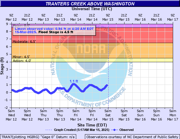
Tranters Creek above Washington
Critical Stages
4' - Action
4.5' - Flood
6.5' - Moderate
8.5' - Major
Latest Observation
Updated: 3:20 PM EST 12/15/25
Status: No Flooding
Stage: -0.22 ft
Flow: -999 kcfs
Forecast
Forecast not available for this location.
| Time | Stage (ft) | Flow (kcfs) |
|---|---|---|
| 3:20 PM 12/15 | -0.22 | -999 |
| 3:15 PM 12/15 | -0.24 | -999 |
| 3:10 PM 12/15 | -0.27 | -999 |
| 3:05 PM 12/15 | -0.29 | -999 |
| 3:00 PM 12/15 | -0.31 | -999 |
| 2:55 PM 12/15 | -0.34 | -999 |
| 2:50 PM 12/15 | -0.37 | -999 |
| 2:45 PM 12/15 | -0.38 | -999 |
| 2:40 PM 12/15 | -0.39 | -999 |
| 2:35 PM 12/15 | -0.38 | -999 |
| 2:30 PM 12/15 | -0.39 | -999 |
| 2:25 PM 12/15 | -0.4 | -999 |
| 2:20 PM 12/15 | -0.4 | -999 |
| 2:15 PM 12/15 | -0.45 | -999 |
| 2:10 PM 12/15 | -0.43 | -999 |
| 2:05 PM 12/15 | -0.46 | -999 |
| 2:00 PM 12/15 | -0.43 | -999 |
| 1:55 PM 12/15 | -0.44 | -999 |
| 1:50 PM 12/15 | -0.41 | -999 |
| 1:45 PM 12/15 | -0.42 | -999 |
| 1:40 PM 12/15 | -0.42 | -999 |
| 1:35 PM 12/15 | -0.4 | -999 |
| 1:30 PM 12/15 | -0.43 | -999 |
| 1:25 PM 12/15 | -0.39 | -999 |
| 1:20 PM 12/15 | -0.39 | -999 |
| 1:15 PM 12/15 | -0.39 | -999 |
| 1:10 PM 12/15 | -0.38 | -999 |
| 1:05 PM 12/15 | -0.42 | -999 |
| 1:00 PM 12/15 | -0.42 | -999 |
| 12:55 PM 12/15 | -0.44 | -999 |
11' -
Widespread and devastating flooding expected along Tranter Creek from Clark's Neck Road to US 264. Travel across the creek becomes impossible as all bridges or approaches are significantly inundated.
8.5' -
Inundation of several homes along Clarks Neck Road, Tranters Creek Resort, and at the end of Tranters Creek Drive. Water may cross US 264 to the west of the bridge over Tranters Creek.
6.5' -
Clark's Neck Road becomes impassable on the west side of the creek. Several residences here are surrounded by water, and a few homes may be inundated. Water also surrounds homes at the end of Tranters Creek Drive. Water may cross Grimesland Bridge Road just south of US 264.
4.5' -
Water floods Clark's Neck Road on the western approach to Tranters Creek Bridge. Water approaches homes in Tranters Creek Resort, and on the north side of Clark's Neck Road near the gauge.
4' -
Flooding of the boat ramp and parking lot at Mason's Landing. Other lowlands around the creek are also flooded.
| Date | Stage (ft) |
|---|---|
| Sep 14, 2018 | 7.51 |
| Oct 5, 2015 | 7.05 |
| Aug 27, 2011 | 6.22 |
| Sep 18, 2003 | 4.97 |
| Sep 23, 2023 | 4.76 |
| May 3, 2013 | 4.73 |
| Sep 1, 2006 | 4.35 |
| Nov 22, 2006 | 3.73 |
| Sep 6, 2008 | 3.4 |
| Dec 18, 2023 | 3.23 |
| Sep 30, 2022 | 3.17 |
| Sep 14, 2005 | 2.98 |
| Sep 30, 2010 | 2.73 |
| Sep 27, 2009 | 2.04 |
| Jun 5, 2012 | 1.62 |
| Aug 14, 2004 | 1.5 |
Data provided by the National Weather Service.