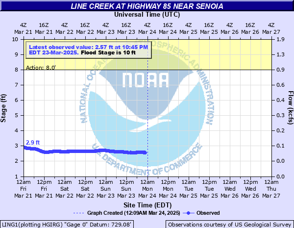
Line Creek at Highway 85 near Senoia
Critical Stages
8' - Action
10' - Flood
15' - Moderate
20' - Major
Latest Observation
Updated: 12:45 PM EST 12/9/25
Status: No Flooding
Stage: 1.91 ft
Flow: 0.0326 kcfs
Forecast
Forecast not available for this location.
| Time | Stage (ft) | Flow (kcfs) |
|---|---|---|
| 12:45 PM 12/9 | 1.91 | 0.0326 |
| 12:30 PM 12/9 | 1.91 | 0.0326 |
| 12:15 PM 12/9 | 1.91 | 0.0326 |
| 12:00 PM 12/9 | 1.92 | 0.0331 |
| 11:45 AM 12/9 | 1.92 | 0.0331 |
| 11:30 AM 12/9 | 1.93 | 0.0337 |
| 11:15 AM 12/9 | 1.93 | 0.0337 |
| 11:00 AM 12/9 | 1.94 | 0.0343 |
| 10:45 AM 12/9 | 1.94 | 0.0343 |
| 10:30 AM 12/9 | 1.95 | 0.0349 |
| 10:15 AM 12/9 | 1.96 | 0.0355 |
| 10:00 AM 12/9 | 1.97 | 0.0361 |
| 9:45 AM 12/9 | 1.98 | 0.0367 |
| 9:30 AM 12/9 | 1.99 | 0.0374 |
| 9:15 AM 12/9 | 1.99 | 0.0374 |
| 9:00 AM 12/9 | 1.99 | 0.0374 |
| 8:45 AM 12/9 | 2 | 0.038 |
| 8:30 AM 12/9 | 2 | 0.038 |
| 8:15 AM 12/9 | 2.01 | 0.0386 |
| 8:00 AM 12/9 | 2.02 | 0.0392 |
| 7:45 AM 12/9 | 2.02 | 0.0392 |
| 7:30 AM 12/9 | 2.03 | 0.0397 |
| 7:15 AM 12/9 | 2.02 | 0.0392 |
| 7:00 AM 12/9 | 2.04 | 0.0403 |
| 6:45 AM 12/9 | 2.04 | 0.0403 |
| 6:30 AM 12/9 | 2.04 | 0.0403 |
| 6:15 AM 12/9 | 2.05 | 0.0409 |
| 6:00 AM 12/9 | 2.05 | 0.0409 |
| 5:45 AM 12/9 | 2.05 | 0.0409 |
| 5:30 AM 12/9 | 2.06 | 0.0415 |
21' -
Major flooding continues. The water level reaches the bottom of the Georgia Highway 85 bridge. Water begins to cover Georgia Highway 85 just south of the bridge. Extensive flooding continues into the surrounding areas.
20' -
Major flooding begins. Extensive flooding continues to expand into the surrounding areas. The historical record crest is almost reached.
17' -
Moderate flooding continues. The water level reaches the bottom of the bridge supports on Georgia Highway 85. Flooding continues to expand into the agricultural and wooded areas near the creek.
15' -
Moderate flooding begins. Flooding continues to expand into the agricultural and wooded areas upstream and downstream from the bridge on Georgia Highway 85.
13.5' -
Minor flooding of the natural flood plain expands further into agricultural and wooded areas. The water level reaches the bottom of the USGS gage house.
10' -
Minor flooding of the natural flood plain begins which primarily affects agricultural and wooded areas. A small dirt utility access road near the Georgia Highway 85 bridge goes underwater.
8' -
Bankfull is reached upstream and downstream from the stream gage at the Georgia Highway 85 bridge.
| Date | Stage (ft) |
|---|---|
| Jul 5, 1994 | 20.1 |
| Jul 12, 2005 | 16.8 |
| Nov 5, 1977 | 14.88 |
| Mar 1, 1997 | 14.31 |
| Feb 11, 1995 | 14.02 |
| Mar 17, 1990 | 13.84 |
| Dec 29, 2018 | 13.36 |
| Sep 27, 2024 | 13.02 |
| Dec 25, 2015 | 12.46 |
| Apr 20, 2019 | 12.38 |
| Aug 3, 2018 | 12.32 |
| Feb 13, 2024 | 12.23 |
| Dec 31, 2021 | 12.05 |
| Feb 19, 2020 | 11.88 |
| Feb 13, 2025 | 11.61 |
| Nov 11, 2009 | 11.6 |
| Mar 9, 2024 | 11.48 |
| Jan 25, 2010 | 11.4 |
| Dec 31, 2015 | 11.35 |
| Oct 11, 2020 | 11.11 |
Data provided by the National Weather Service.