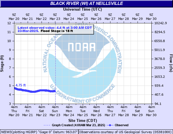
Black River (WI) at Neillsville
Critical Stages
16' - Action
18' - Flood
20' - Moderate
22' - Major
Latest Observation
Updated: 8:00 PM CST 12/15/25
Status: No Flooding
Stage: 3.49 ft
Flow: 0.203 kcfs
Forecast
Forecast not available for this location.
| Time | Stage (ft) | Flow (kcfs) |
|---|---|---|
| 8:00 PM 12/15 | 3.49 | 0.203 |
| 7:45 PM 12/15 | 3.48 | 0.201 |
| 7:30 PM 12/15 | 3.48 | 0.201 |
| 7:15 PM 12/15 | 3.47 | 0.198 |
| 7:00 PM 12/15 | 3.49 | 0.203 |
| 6:45 PM 12/15 | 3.49 | 0.203 |
| 6:30 PM 12/15 | 3.48 | 0.201 |
| 6:15 PM 12/15 | 3.48 | 0.201 |
| 6:00 PM 12/15 | 3.49 | 0.203 |
| 5:45 PM 12/15 | 3.5 | 0.206 |
| 5:30 PM 12/15 | 3.49 | 0.203 |
| 5:15 PM 12/15 | 3.49 | 0.203 |
| 5:00 PM 12/15 | 3.49 | 0.203 |
| 4:45 PM 12/15 | 3.48 | 0.201 |
| 4:30 PM 12/15 | 3.48 | 0.201 |
| 4:15 PM 12/15 | 3.48 | 0.201 |
| 4:00 PM 12/15 | 3.47 | 0.198 |
| 3:45 PM 12/15 | 3.48 | 0.201 |
| 3:30 PM 12/15 | 3.49 | 0.203 |
| 3:15 PM 12/15 | 3.49 | 0.203 |
| 3:00 PM 12/15 | 3.5 | 0.206 |
| 2:45 PM 12/15 | 3.49 | 0.203 |
| 2:30 PM 12/15 | 3.49 | 0.203 |
| 2:15 PM 12/15 | 3.51 | 0.209 |
| 2:00 PM 12/15 | 3.49 | 0.203 |
| 1:45 PM 12/15 | 3.5 | 0.206 |
| 1:30 PM 12/15 | 3.49 | 0.203 |
| 1:15 PM 12/15 | 3.51 | 0.209 |
| 1:00 PM 12/15 | 3.51 | 0.209 |
| 12:45 PM 12/15 | 3.51 | 0.209 |
23.8' -
Water begins to reach the low steel on the County Road B Bridge, and reaches the flood of record.
19' -
A few farm buildings may be affected.
18' -
Some agricultural land begins to flood.
16' -
The river is near bankfull in some locations.
| Date | Stage (ft) |
|---|---|
| Sep 10, 1938 | 23.8 |
| Jun 28, 1943 | 22.49 |
| Jun 6, 1905 | 22.4 |
| Sep 22, 2016 | 21.07 |
| Jun 5, 1914 | 19.8 |
| Jun 20, 1993 | 19.3 |
| Sep 21, 1980 | 18.95 |
| Sep 24, 2010 | 18.77 |
| Sep 22, 1986 | 18.65 |
| Apr 18, 2019 | 18.42 |
Data provided by the National Weather Service.