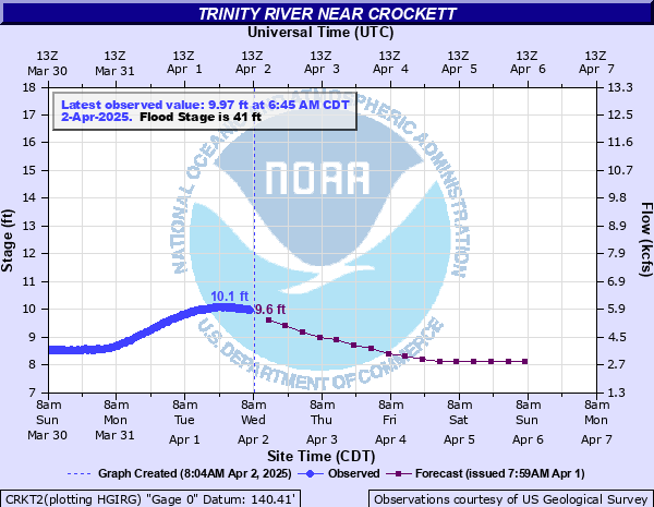
Trinity River near Crockett
Critical Stages
35' - Action
41' - Flood
45' - Moderate
48' - Major
Latest Observation
Updated: 10:45 AM CST 12/8/25
Status: No Flooding
Stage: 7.28 ft
Flow: 1.81 kcfs
Forecast
| Time | Stage (ft) | Flow (kcfs) |
|---|---|---|
| 12 PM 12/8 | 8.9 | 4.57 |
| 6 PM 12/8 | 8.8 | 4.4 |
| 12 AM 12/9 | 8.8 | 4.4 |
| 6 AM 12/9 | 8.7 | 4.23 |
| 12 PM 12/9 | 8.6 | 4.04 |
| 6 PM 12/9 | 8.6 | 4.04 |
| 12 AM 12/10 | 8.5 | 3.86 |
| 6 AM 12/10 | 8.5 | 3.86 |
| 12 PM 12/10 | 8.4 | 3.68 |
| 6 PM 12/10 | 8.4 | 3.68 |
| 12 AM 12/11 | 8.4 | 3.68 |
| 6 AM 12/11 | 8.4 | 3.68 |
| 12 PM 12/11 | 8.4 | 3.68 |
| 6 PM 12/11 | 8.3 | 3.5 |
| 12 AM 12/12 | 8.3 | 3.5 |
| 6 AM 12/12 | 8.3 | 3.5 |
| 12 PM 12/12 | 8.3 | 3.5 |
| 6 PM 12/12 | 8.3 | 3.5 |
| 12 AM 12/13 | 8.2 | 3.32 |
| 6 AM 12/13 | 8.2 | 3.32 |
| Time | Stage (ft) | Flow (kcfs) |
|---|---|---|
| 10:45 AM 12/8 | 7.28 | 1.81 |
| 10:30 AM 12/8 | 7.31 | 1.86 |
| 10:15 AM 12/8 | 7.26 | 1.79 |
| 10:00 AM 12/8 | 7.29 | 1.83 |
| 9:45 AM 12/8 | 7.29 | 1.83 |
| 9:30 AM 12/8 | 7.32 | 1.87 |
| 9:15 AM 12/8 | 7.29 | 1.83 |
| 9:00 AM 12/8 | 7.28 | 1.81 |
| 8:45 AM 12/8 | 7.29 | 1.83 |
| 8:30 AM 12/8 | 7.3 | 1.84 |
| 8:15 AM 12/8 | 7.31 | 1.86 |
| 8:00 AM 12/8 | 7.31 | 1.86 |
| 7:45 AM 12/8 | 8.87 | 4.52 |
| 7:30 AM 12/8 | 8.89 | 4.55 |
| 7:15 AM 12/8 | 8.87 | 4.52 |
| 7:00 AM 12/8 | 8.89 | 4.55 |
| 6:45 AM 12/8 | 8.89 | 4.55 |
| 6:30 AM 12/8 | 8.89 | 4.55 |
| 6:15 AM 12/8 | 8.9 | 4.57 |
| 6:00 AM 12/8 | 8.89 | 4.55 |
| 5:45 AM 12/8 | 8.89 | 4.55 |
| 5:30 AM 12/8 | 8.9 | 4.57 |
| 5:15 AM 12/8 | 8.88 | 4.54 |
| 5:00 AM 12/8 | 8.89 | 4.55 |
| 4:45 AM 12/8 | 8.89 | 4.55 |
| 4:30 AM 12/8 | 8.9 | 4.57 |
| 4:15 AM 12/8 | 8.89 | 4.55 |
| 4:00 AM 12/8 | 8.91 | 4.59 |
| 3:45 AM 12/8 | 8.9 | 4.57 |
| 3:30 AM 12/8 | 8.9 | 4.57 |
52' -
Massive flooding of ranching and agricultural interests along the river occurs.
49' -
There is major flooding of ranches and farms along the river.
48' -
Major lowland flooding begins. Most ranches along the river experience flooding problems with many rural roads underwater.
45' -
Moderate lowland flooding begins in the vicinity of the gage impacting livestock grazing and prison farms. In past floods, problems occurred from the Highway 7 bridge downstream to Highway 21 bridge due to high flows in the backwater of Lake Livingston.
43' -
Minor lowland flooding continues in the vicinity of the gage impacting ranching operations and prison farms. Livestock should be removed from low-lying areas in the floodplain.
41' -
Minor lowland flooding begins in the vicinity of the gage creating problems for cattle ranches and prison farms. Livestock may need to be removed from low-lying areas in the floodplain.
35' -
Minor overbank flows expected. All livestock and equipment should be removed from the floodplain.
| Date | Stage (ft) |
|---|---|
| May 10, 1990 | 48.54 |
| Dec 26, 1991 | 48.5 |
| May 15, 1969 | 47.68 |
| May 31, 2015 | 47.6 |
| May 7, 1966 | 47.59 |
| Oct 30, 2015 | 46.99 |
| Jul 12, 2007 | 46.79 |
| May 14, 2024 | 46.59 |
| Dec 16, 1971 | 46.55 |
| May 22, 1965 | 46.44 |
| Mar 16, 2016 | 46.36 |
| May 21, 2019 | 45.88 |
| Jun 11, 2024 | 45.8 |
| May 17, 1995 | 45.75 |
| May 18, 1968 | 45.5 |
| Jan 13, 1998 | 45.27 |
| Jan 8, 2019 | 45.13 |
| Jun 24, 1989 | 44.95 |
| Jun 14, 1973 | 44.95 |
| Mar 9, 2001 | 44.71 |
Data provided by the National Weather Service.